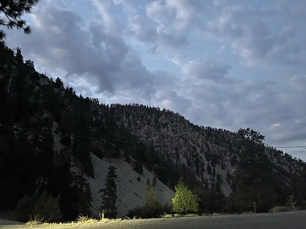
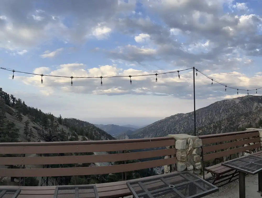
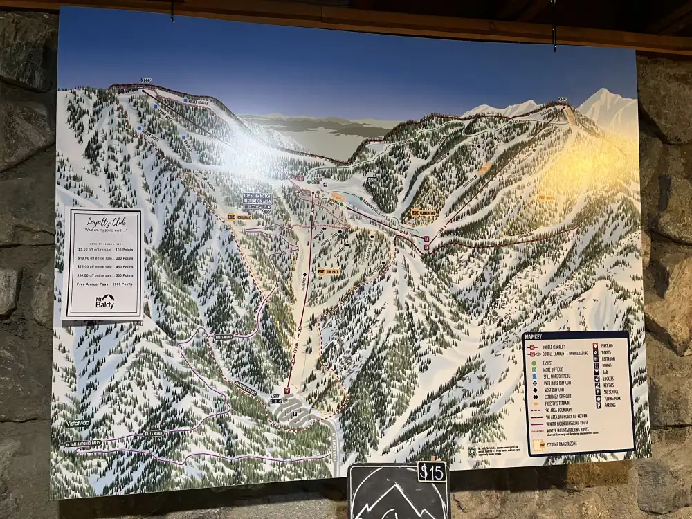
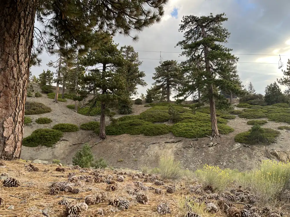
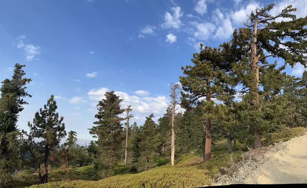
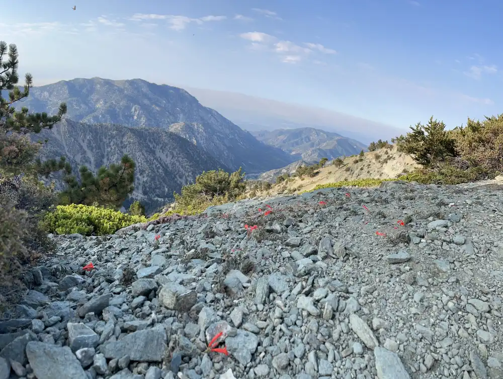
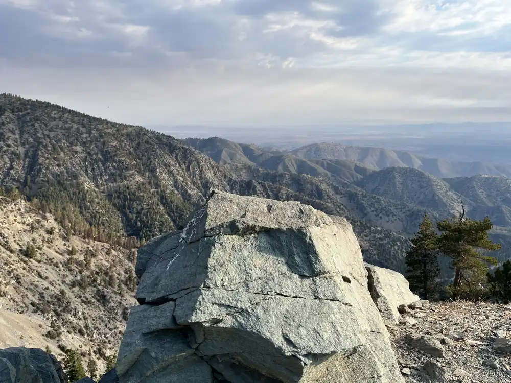
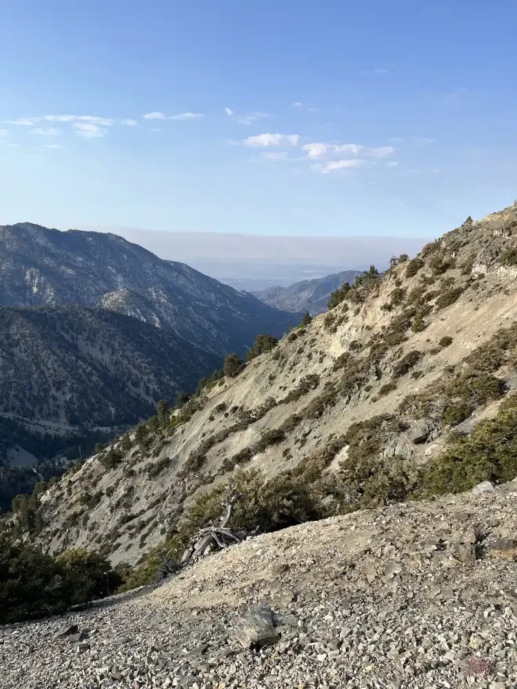
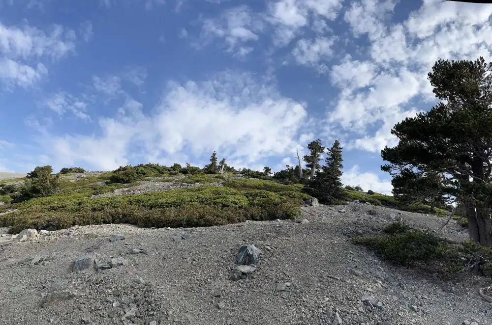
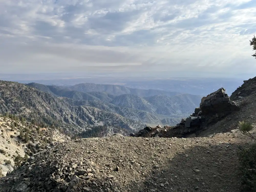
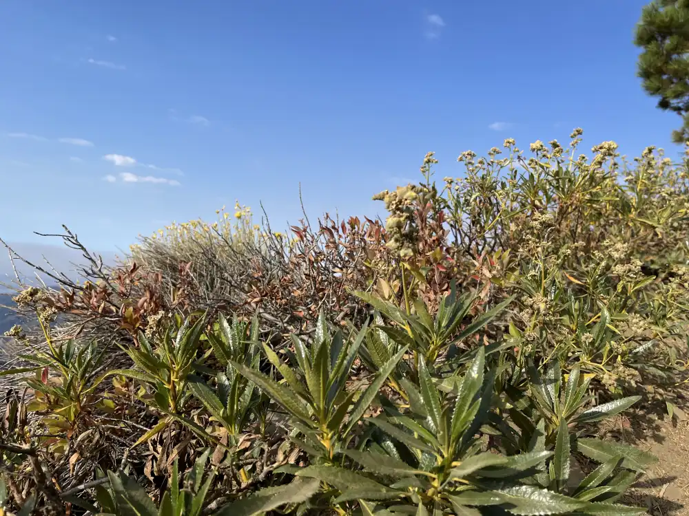
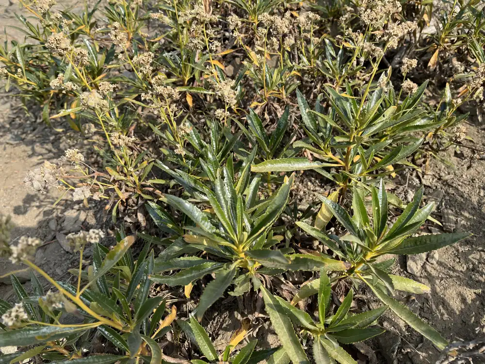
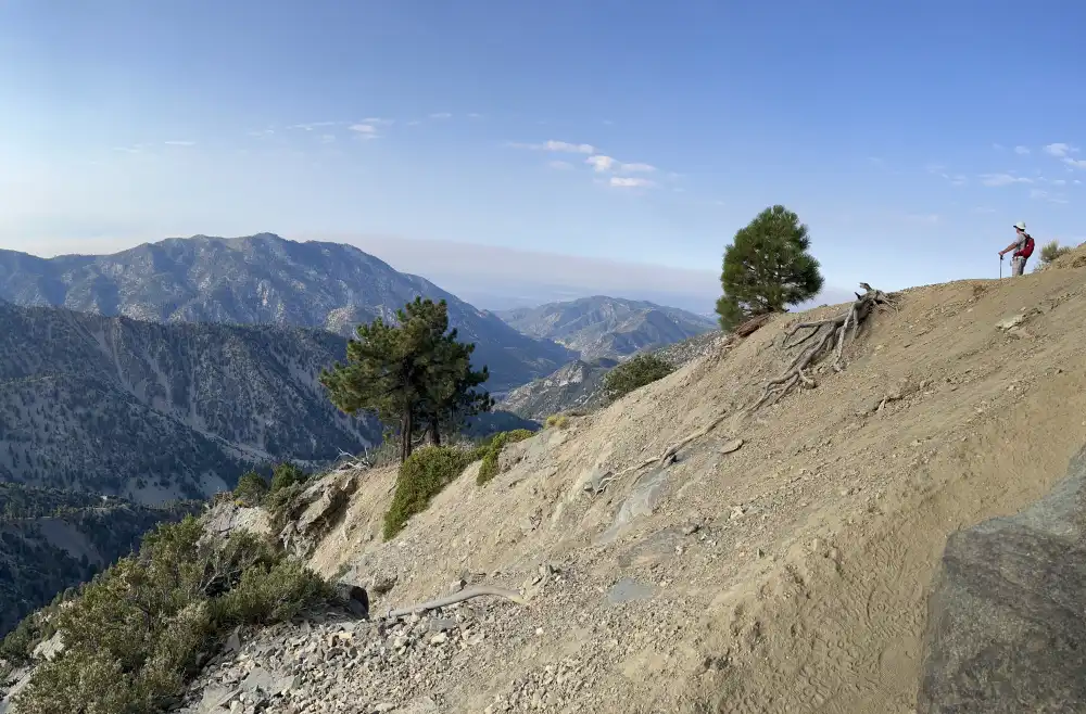
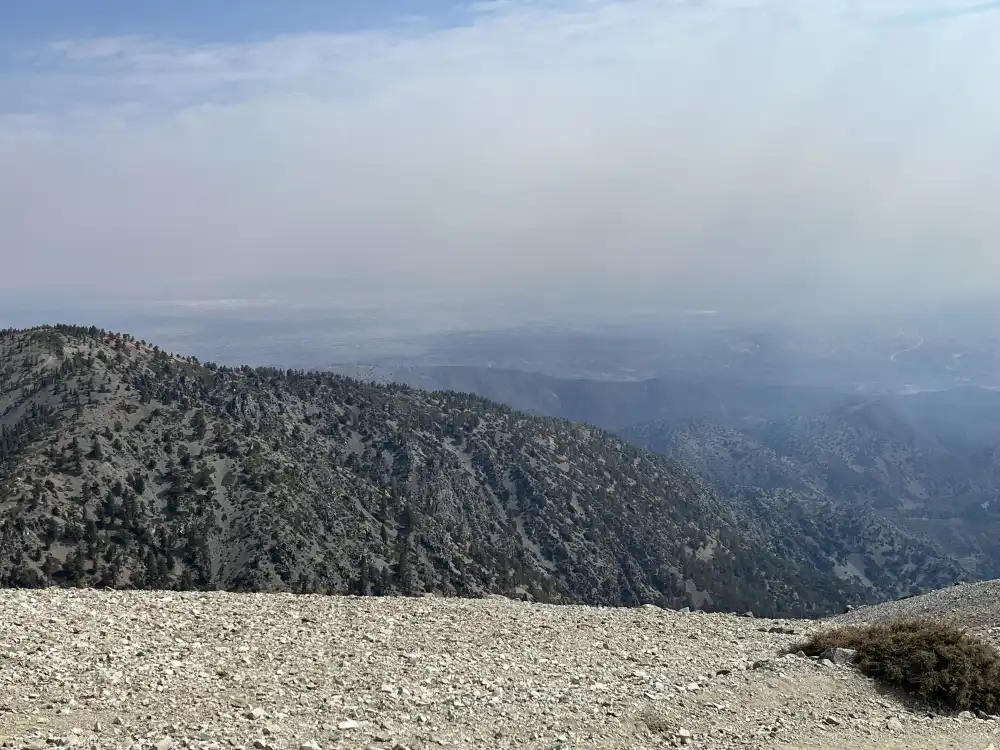
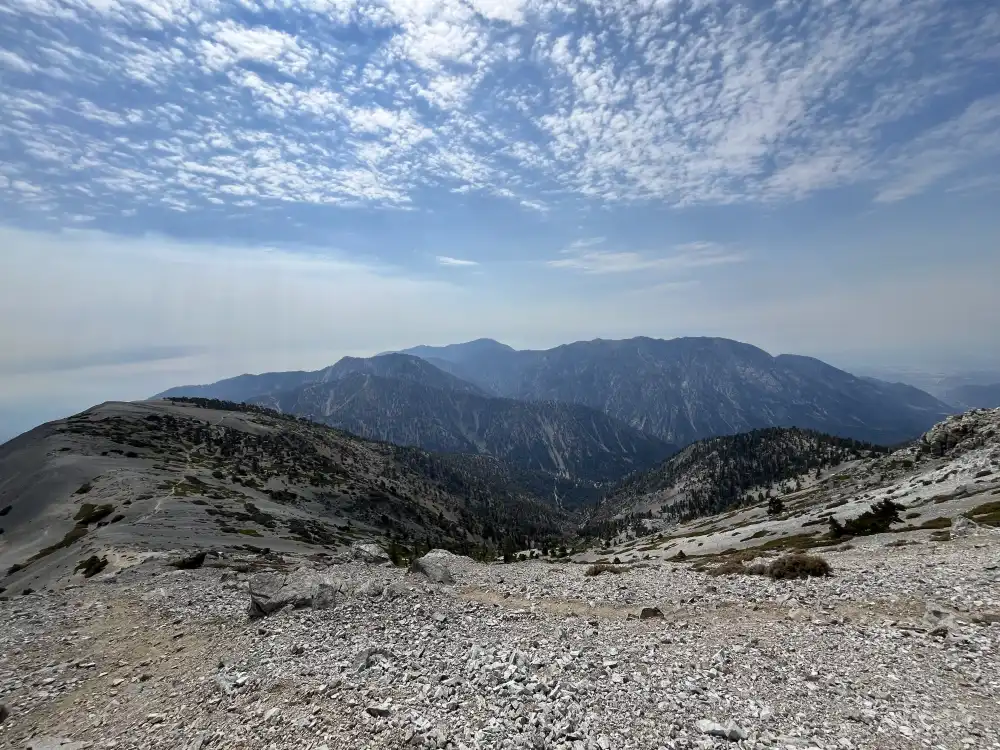
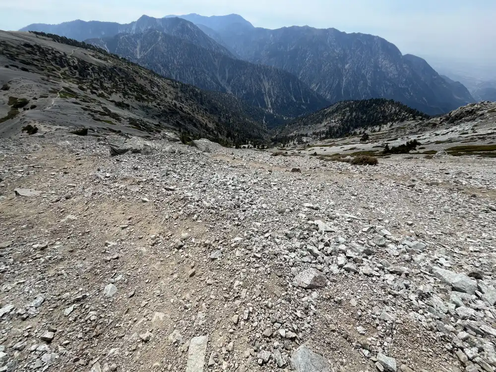
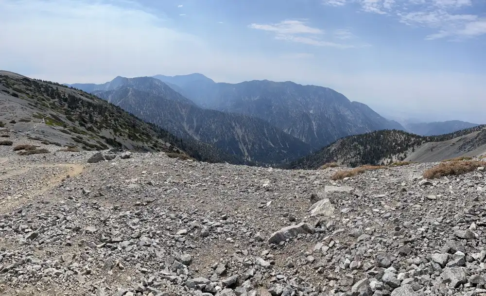
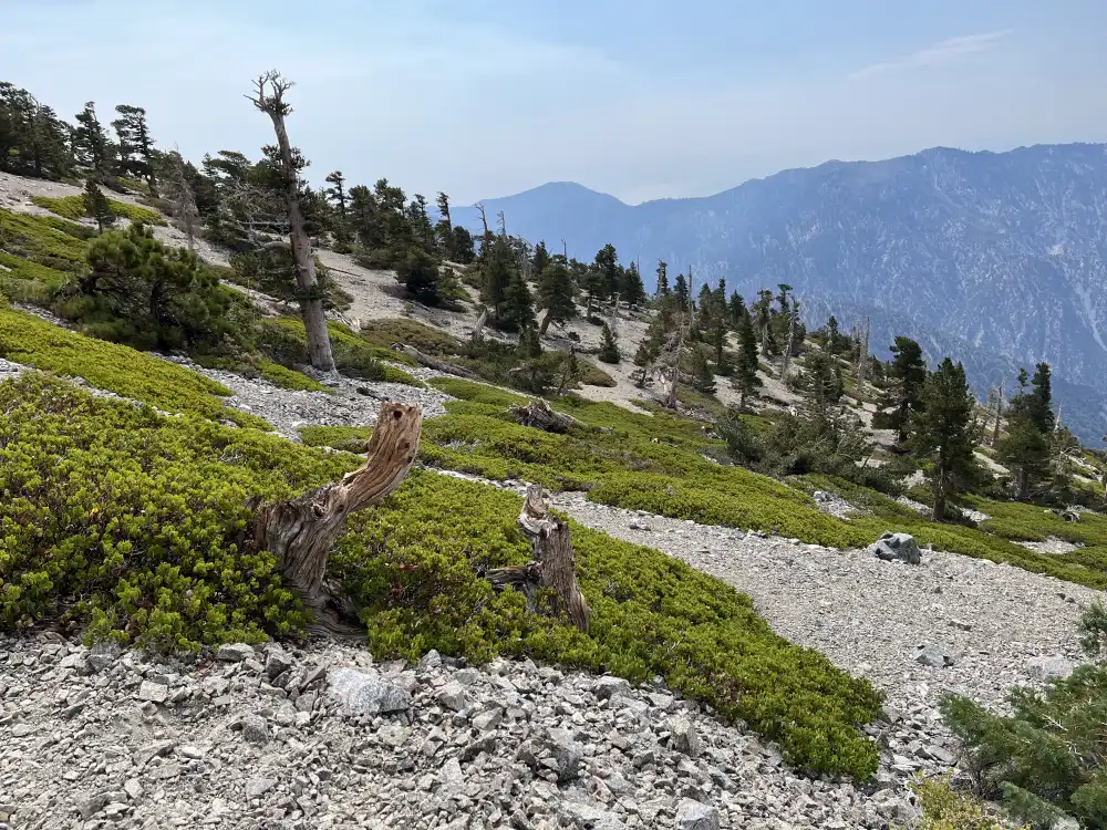
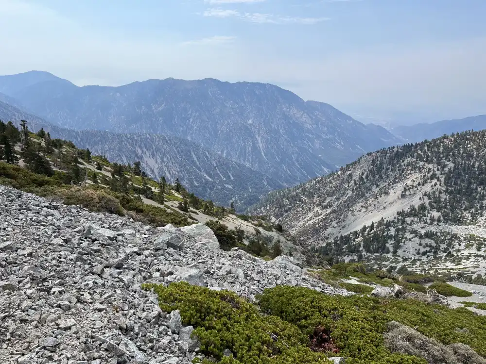
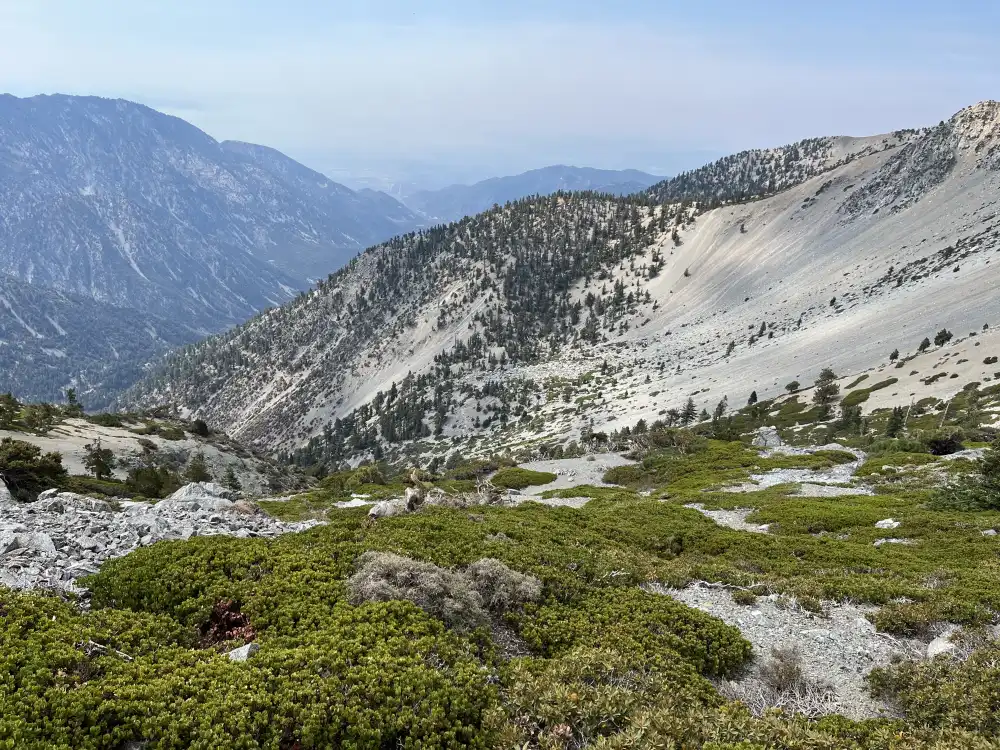
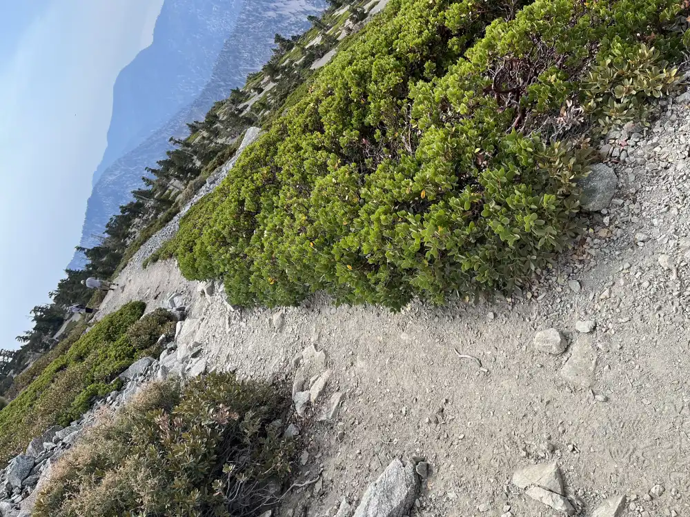
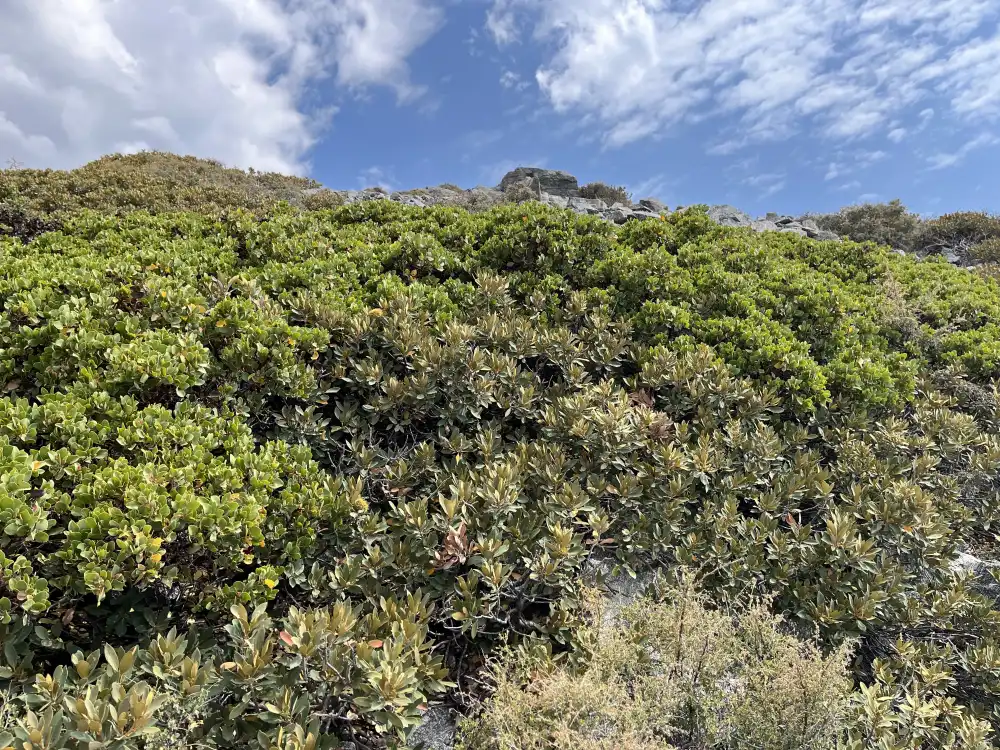
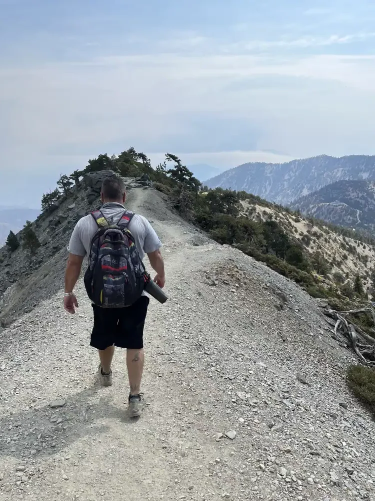
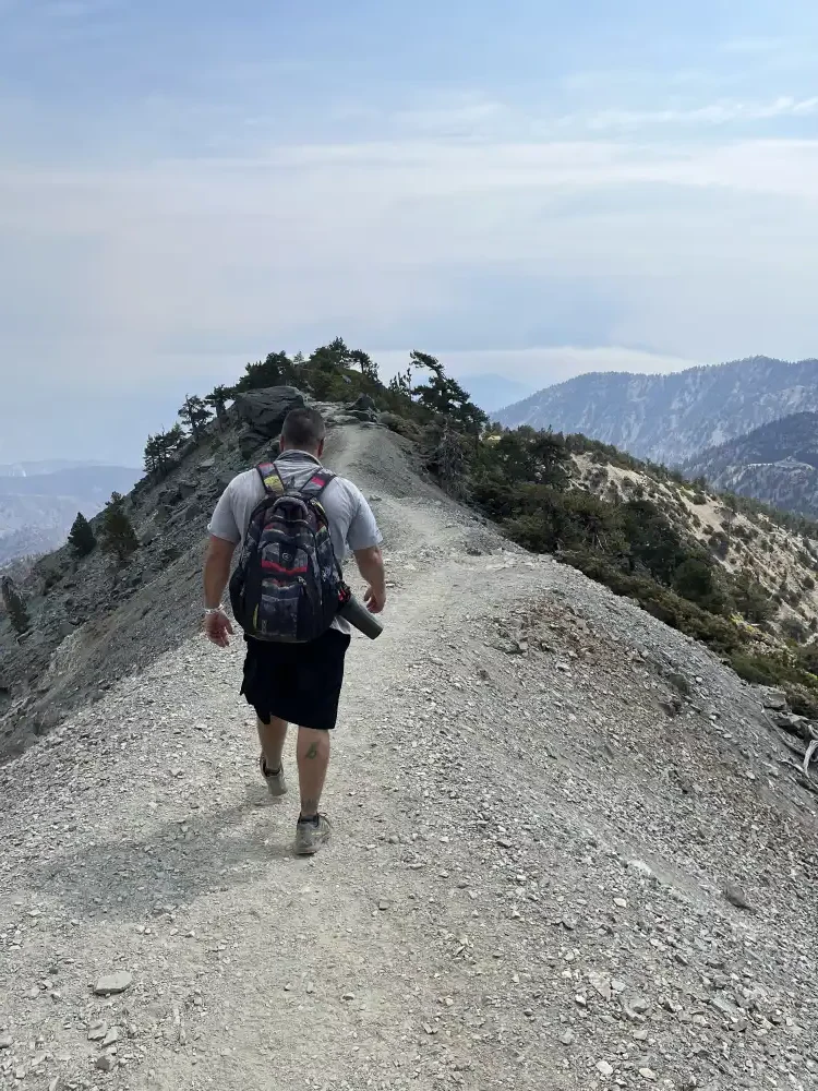
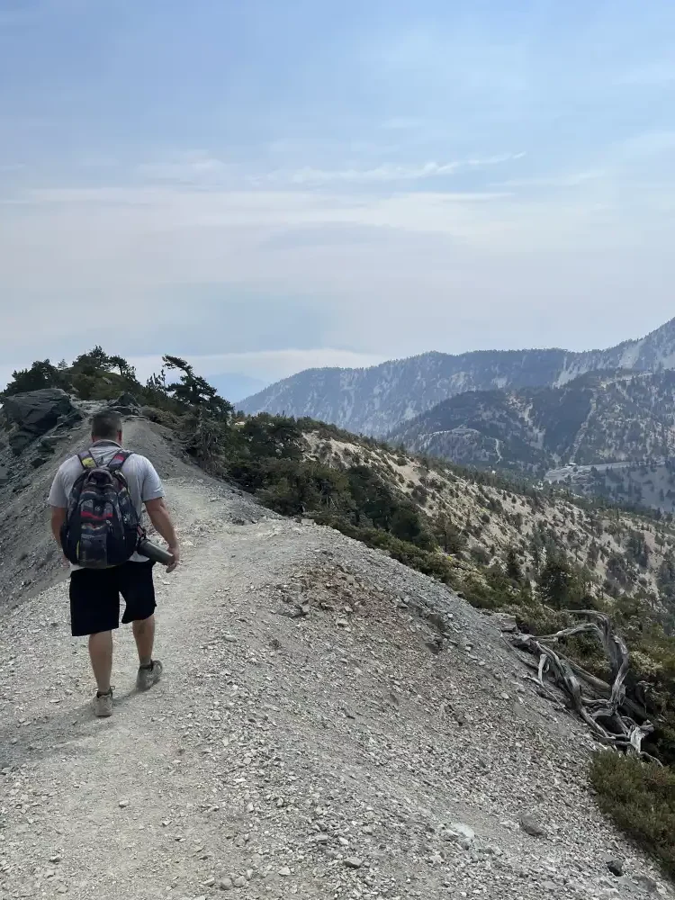
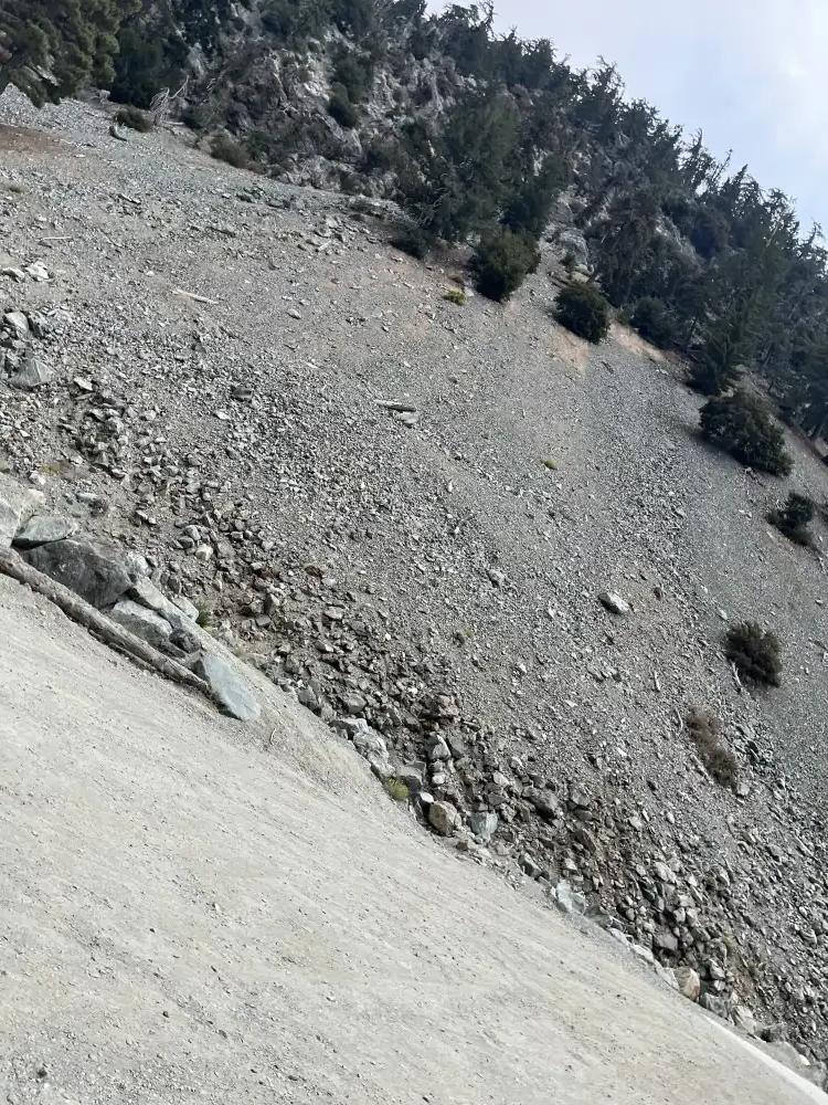
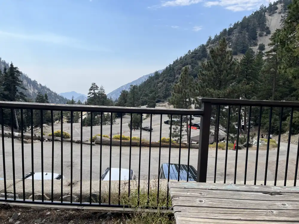
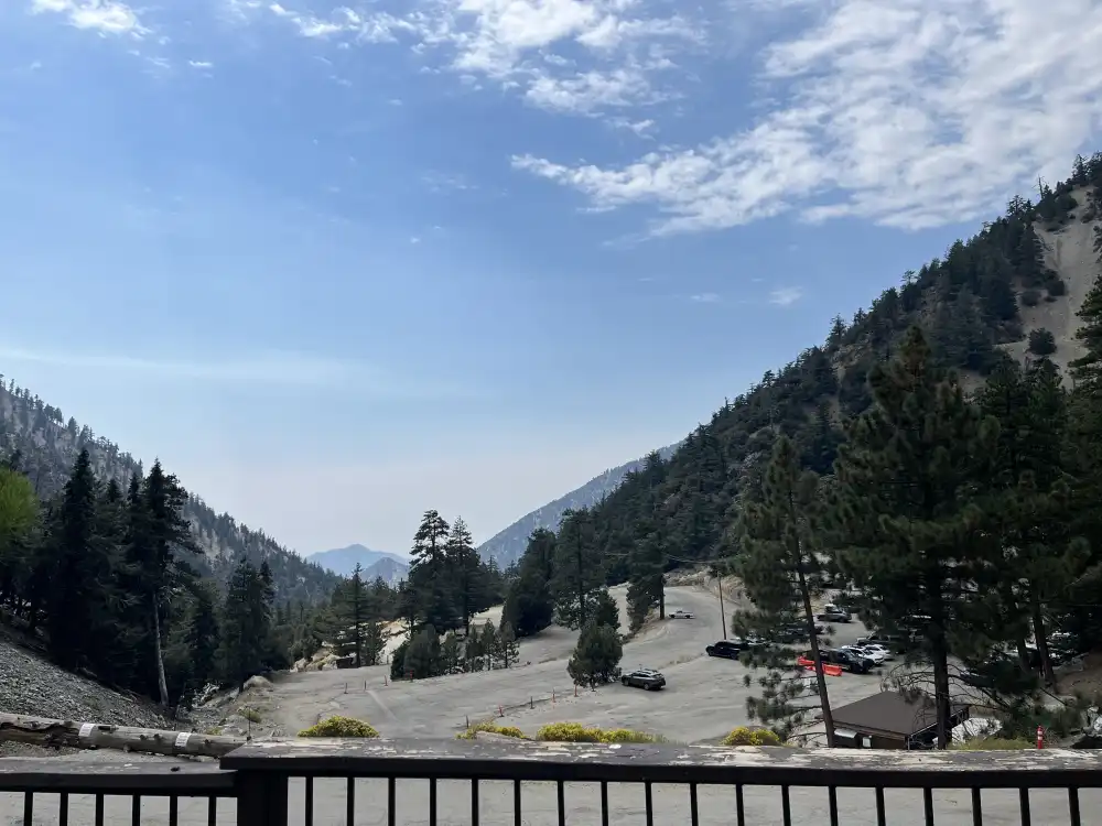
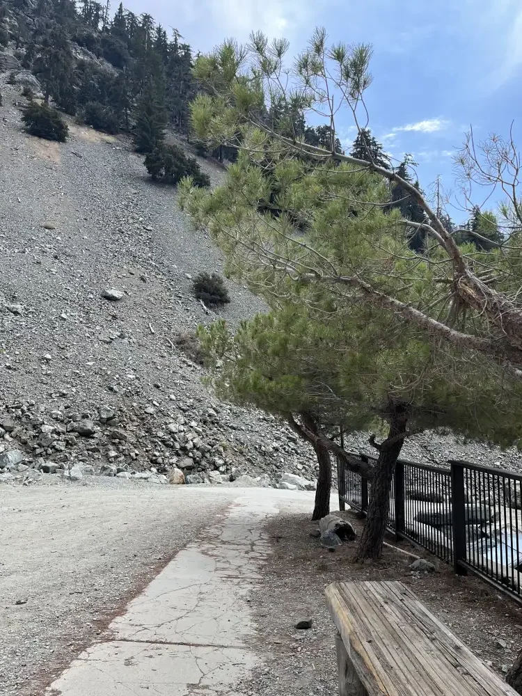
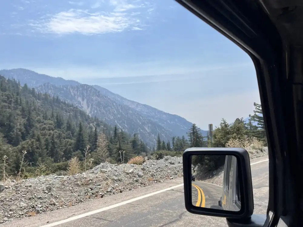
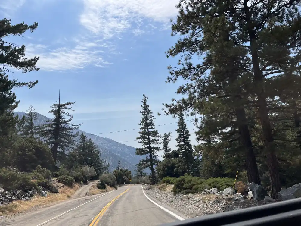
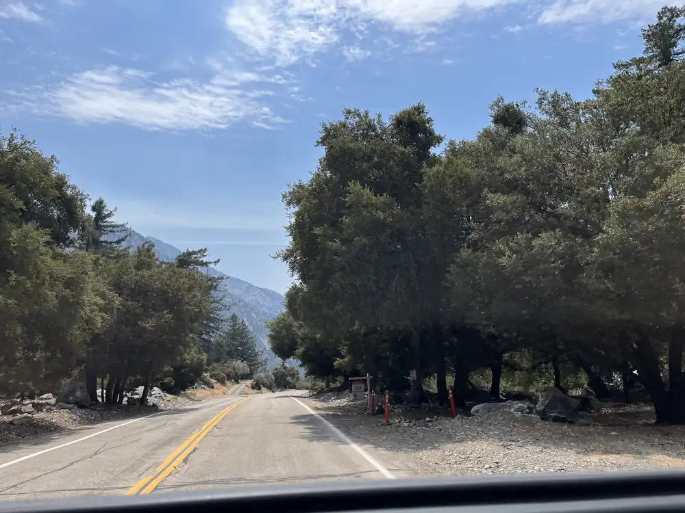
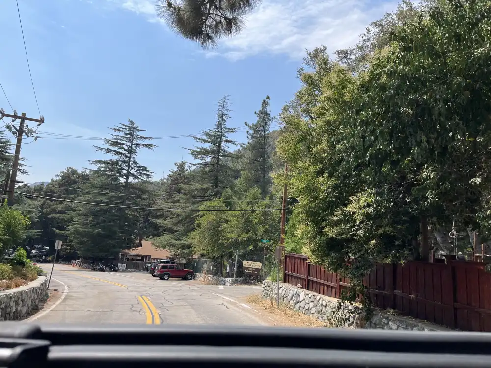
The Journey Begins…
First Summit on San Antonio
I woke up at 3:30am after only getting several hours of sleep and went straight to the coffee. Good night rest before my first summit. Nah… not for me.
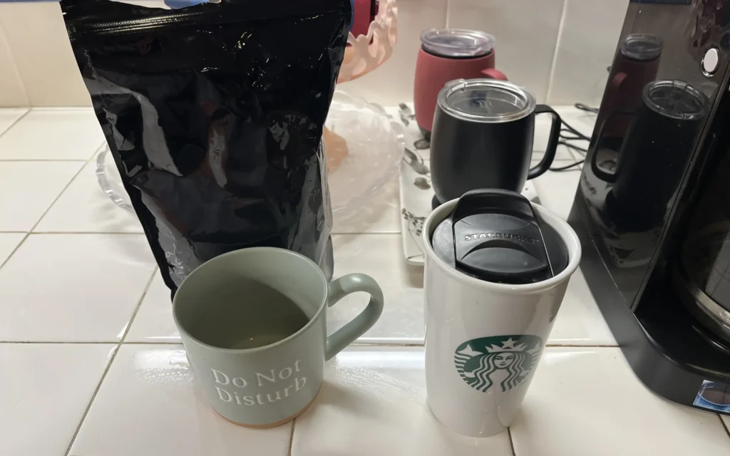
Behind every successful person is a substantial amount of coffee
Quote from the painting hanging in my office
3:40am
I wanted to be prepared. I didn’t know what to expect. Several weeks back, I signed up for a hike through San Antonio Hospital and it gave three trail options: beginner, intermediate, advanced. Naturally, I chose advanced.
- Protein, Supplements & Vitamins
- Pistachios
- Cliff Bars
- 3 liters of water
- Notebook & Watercolors???
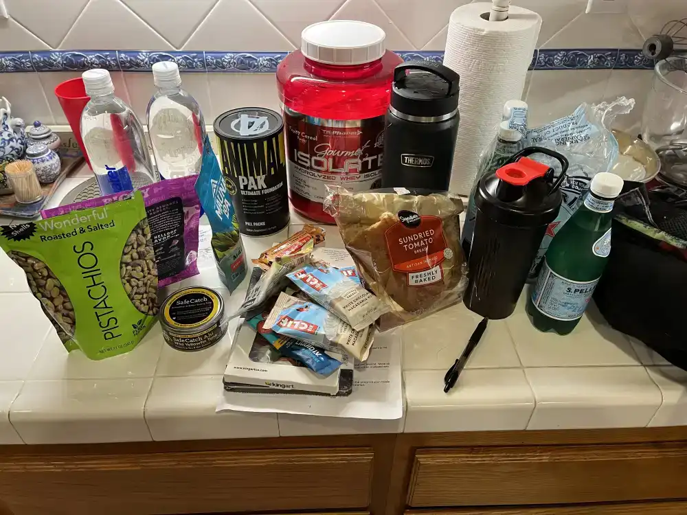
I packed all this food and then forgot to eat because I took my protein, vitamins, supplements, and several cups of coffee. Hiking on an empty stomach… Check!
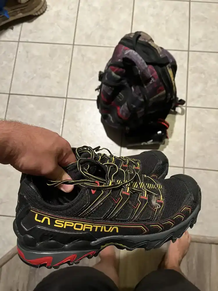
A friend gifted me these La Sportiva hiking shoes. They fit snug, but I decided to make this 6 mile hike, my first hike in them. Just in case they didn’t work out, I also brought my favorite: Targhee III Sandals. Just writing about them reminded me I need to buy a new pair. The soles are super thin from constant wear over the past 18 months–It took some searching, but I finally found them in black/grey size 10.
on the road
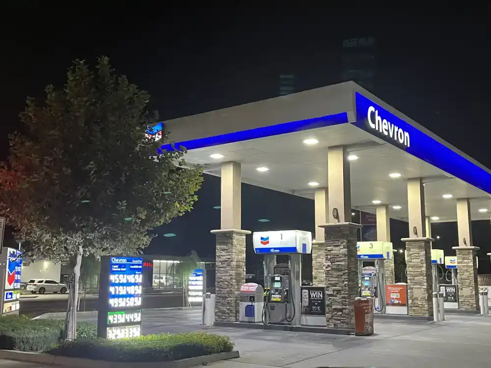
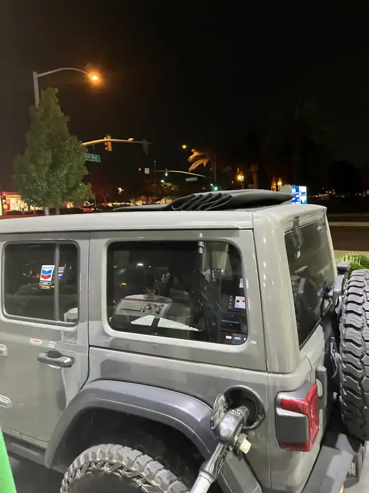
Driving in Southern California at 5am made me feel like I was traveling in a different place. There was no traffic or noisy vehicles or semi trucks on the road. I tanked up at a Chevron in Claremont, got a few energy drinks and hit the road for Mt Baldy.
6:00am at Mt Baldy Trailhead
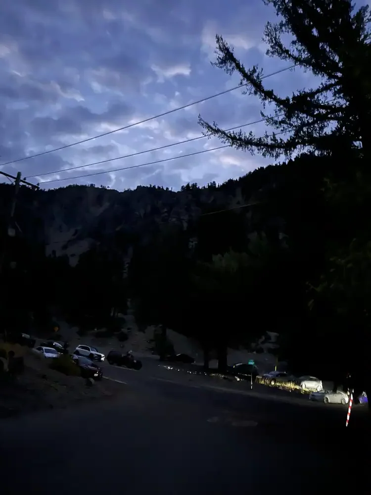
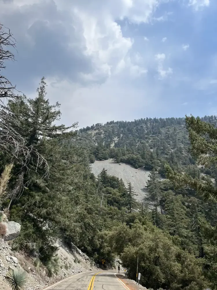
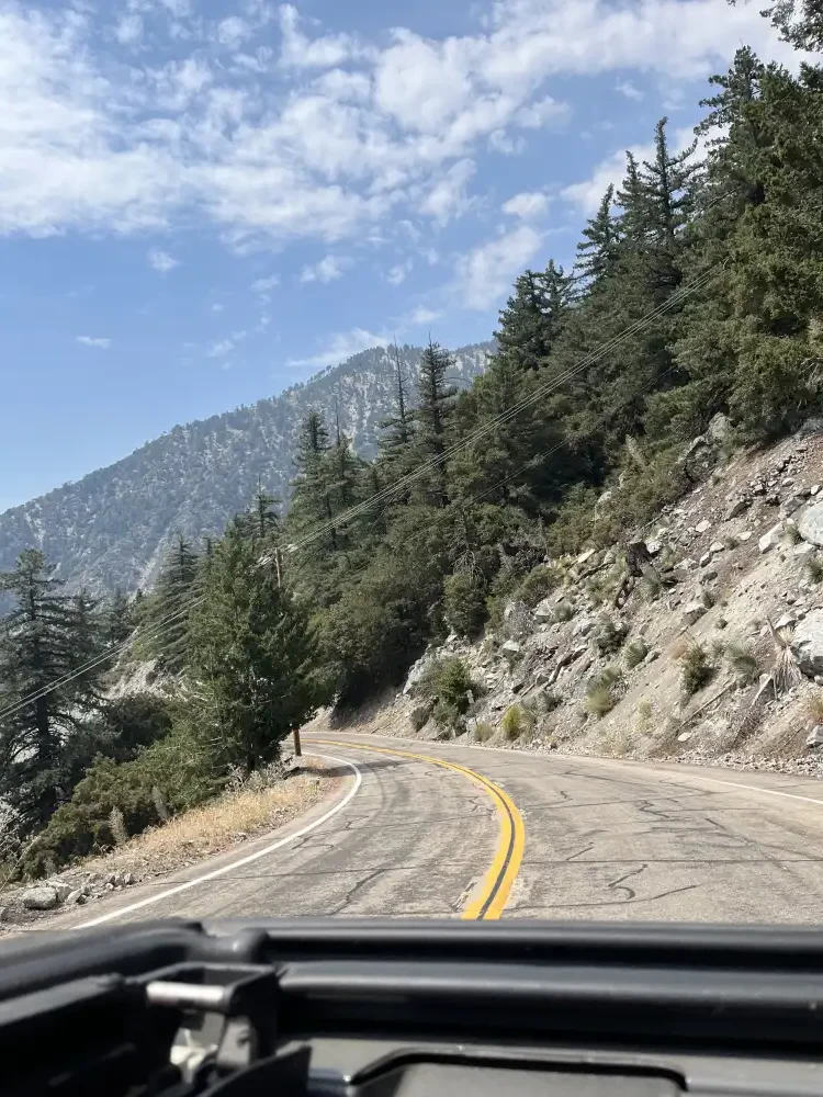
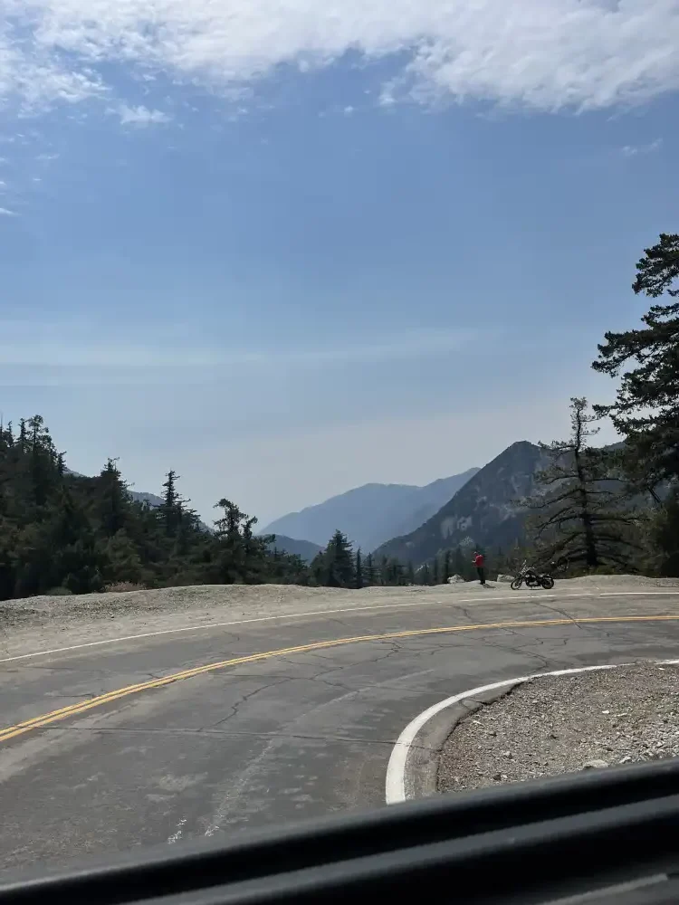
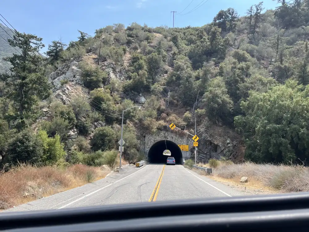
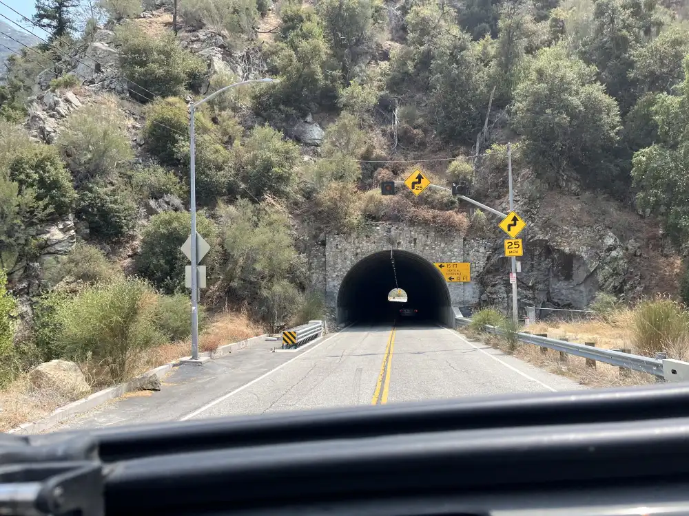
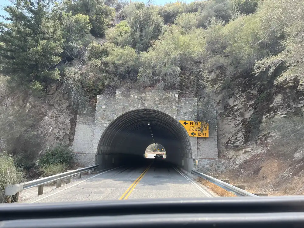
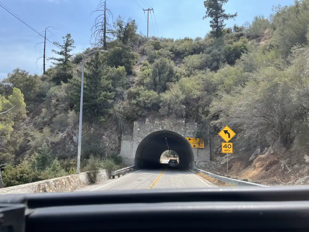
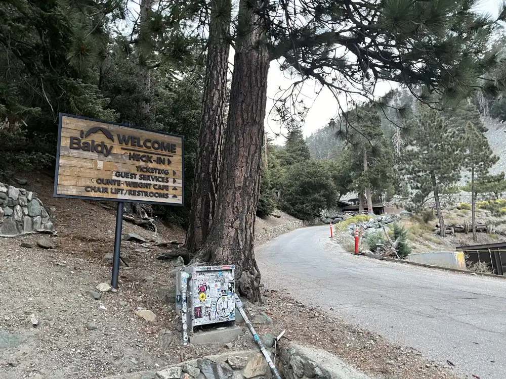
I approached the top of Mt. Baldy Rd. at 6:00am. It only took 20 minutes from Mountain Ave.–even with the road turning back on itself at almost 180 degrees on some turns–winding up the mountain. I saw 50+ vehicles parked with people getting ready to hike. I was at the right place. I parked and got ready and that was when I noticed my backpack was about 50 pounds. I got out and started greeting people. I asked if they too were here for Take a Hike. Nobody knew what I was talking about. I kept asking group after group until a gentleman explained “This is Mt. Baldy Trailhead. You want to keep driving up the street a ways till you get to the ski resort. About another mile.” 6:00am at Mt Baldy Trailhead on a Saturday morning is one popular spot!
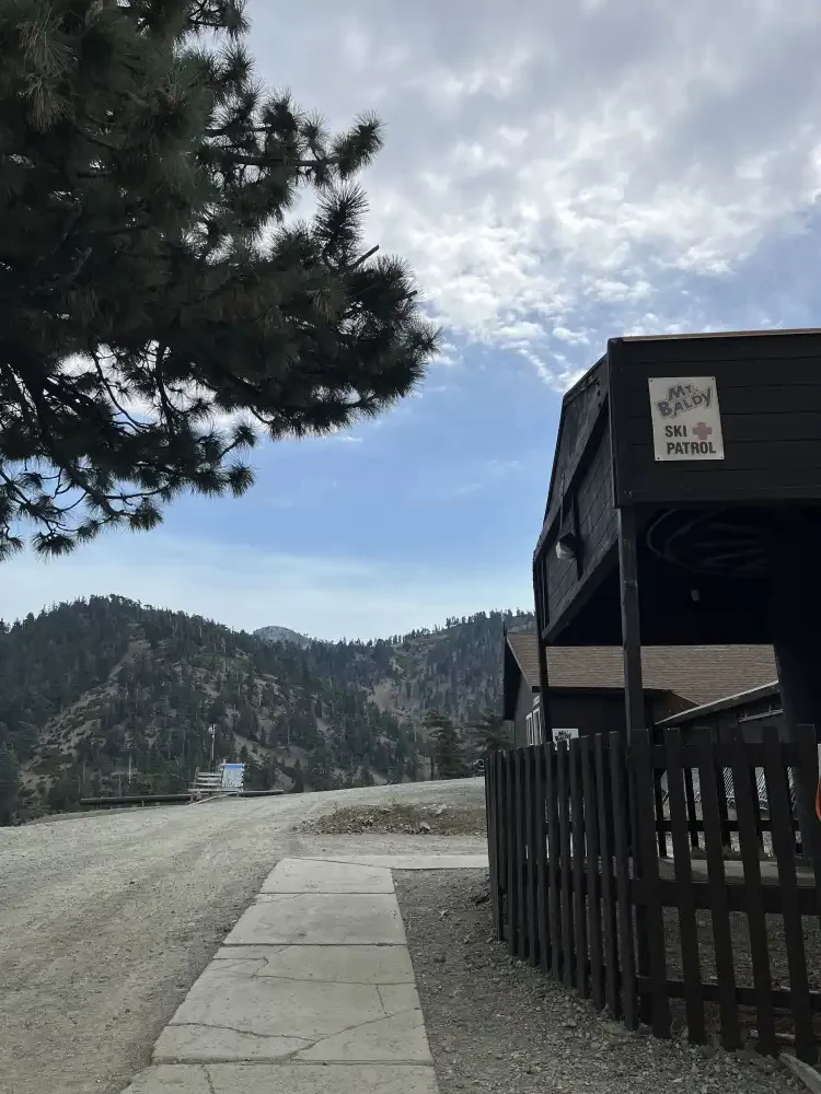
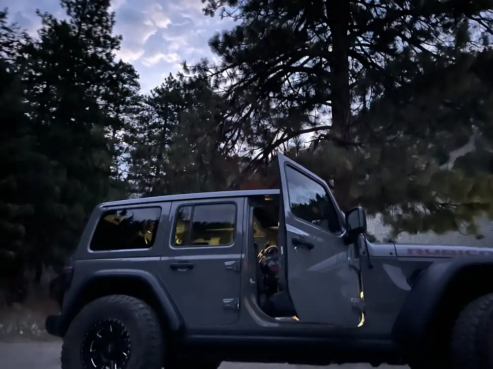
Good thing I wasn’t running late. I got back in my Jeep and headed up the hill until I found several cars up in the top area of the Mt. Baldy Ski Resort parking lot. This was my group–we all had on the same shirts this time.
The hike coordinator Jennifer informed me that the ski slope would take us to The Notch– a restaurant and bar half way up the mountain. This is where all groups will start their hikes. Before leaving I decided I should leave as many useless items as I can before starting the hike up Devil’s Backbone. Do I really need a can of tuna? They provide us with lunch. Watercolors and a note book? I have my iPhone with a camera. After several minutes of fidgeting with my backpack, I was able to lighten the load to approximately 40 pounds–I decided to still include a 32oz. Thermos of pineapple juice for when I reach the summit.
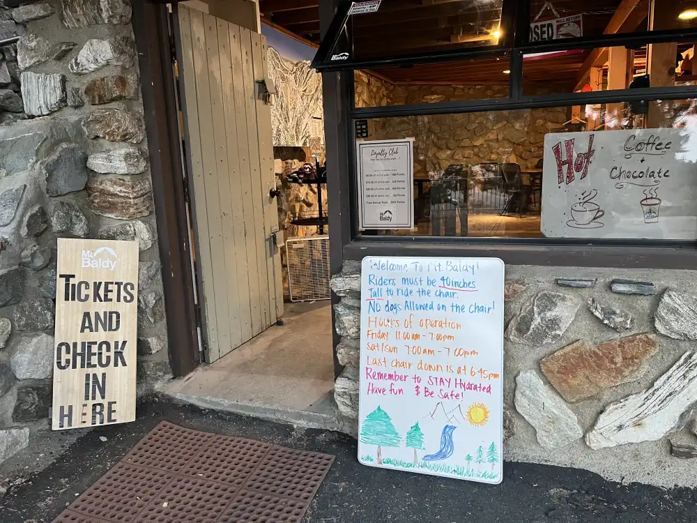
Starting my Ascent
After taking several more pictures, we all got into our groups at The Notch to start our assent. First we had to climb–or take the dirt road to the top of the lifts. Then the real hike started up Devil’s Backbone. It was approximately 70° at The Notch. I was told that heat would not be a factor. What about lightening?
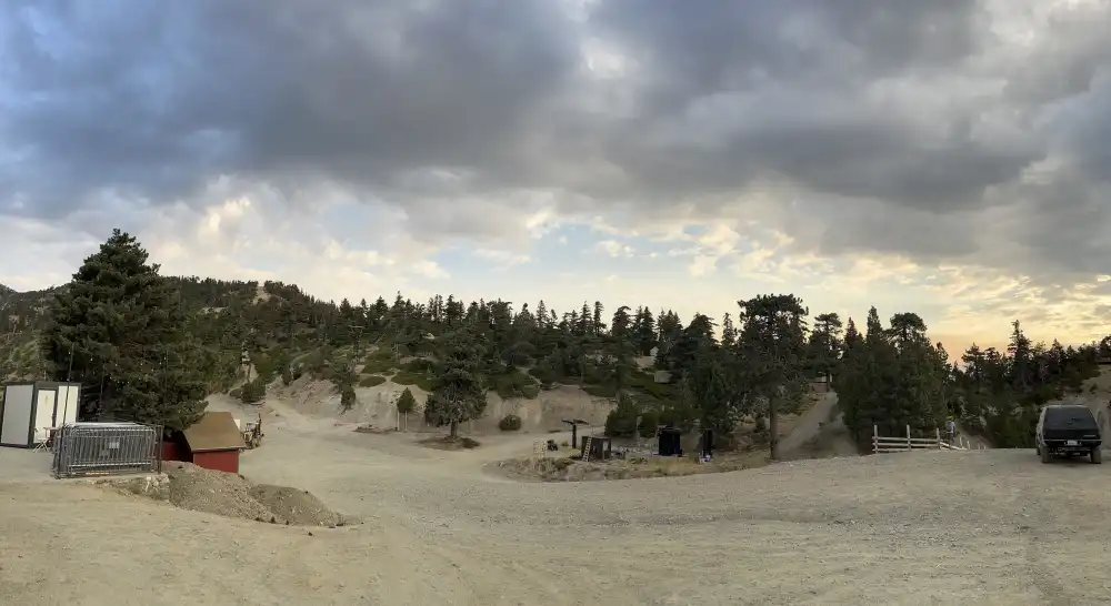
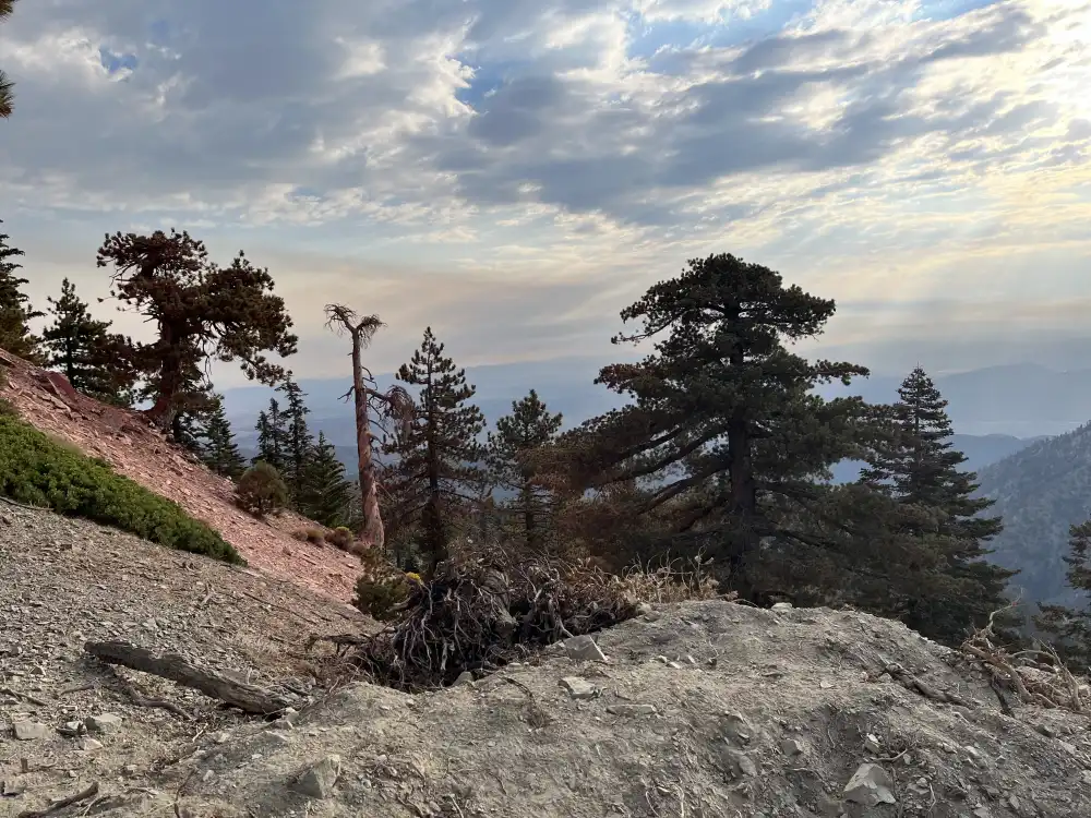
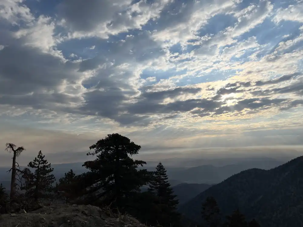
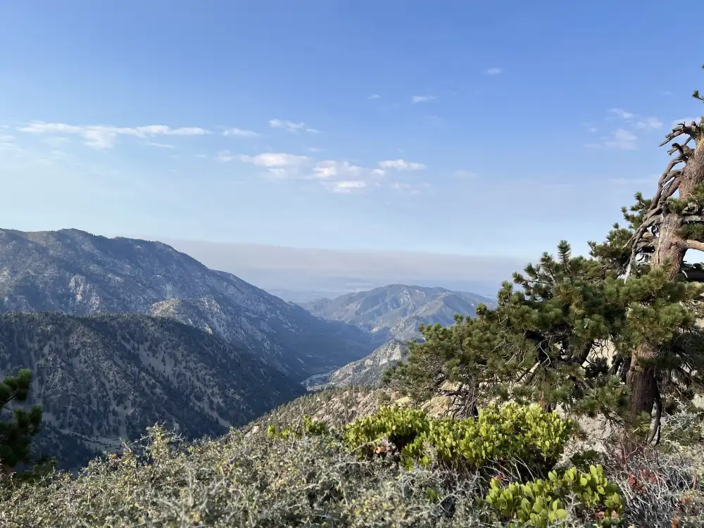
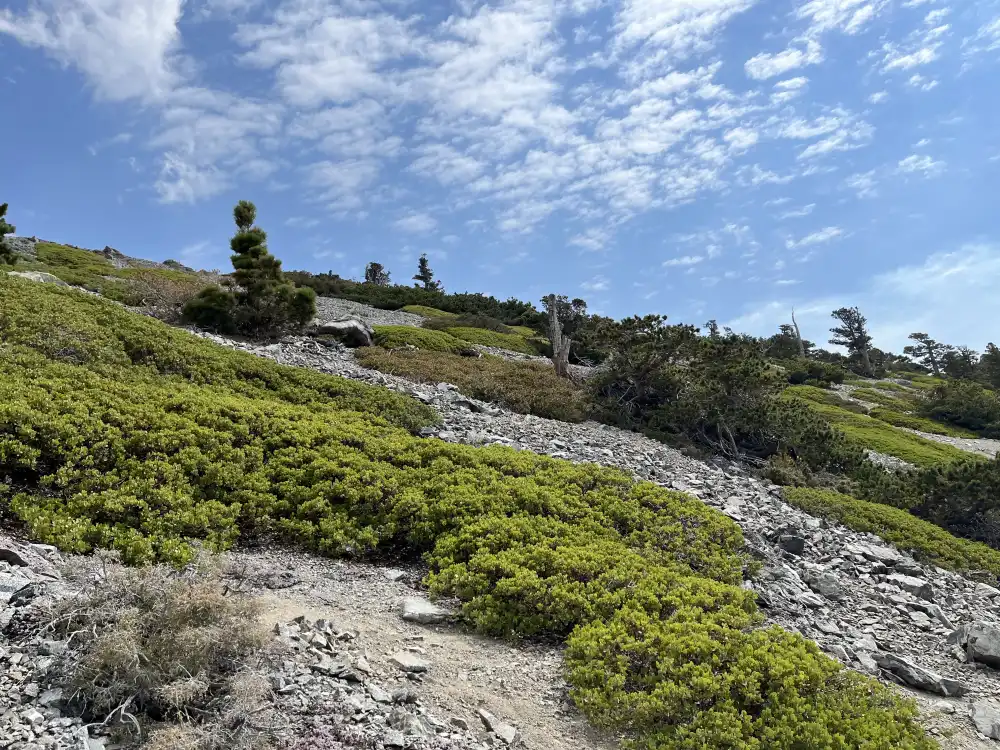
The morning was quiet, dry and nippy. It was almost perfect conditions. I was told that wind is usually a factor on this climb, but today it just looked like a chance of light rain in the distance. The sunrise against the clouds made for a picturesque morning. Bird calls and the scent of pine set a mellow mood for the arduous climb to come.
Take a Hike 2024
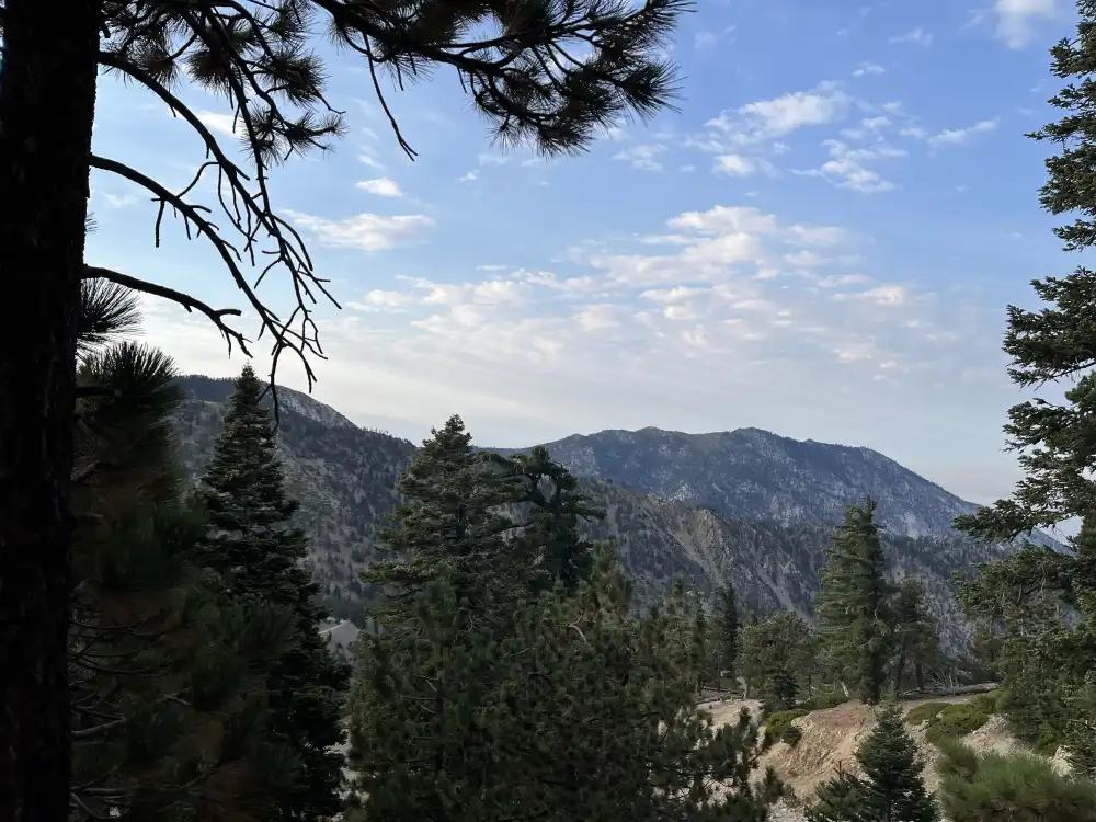
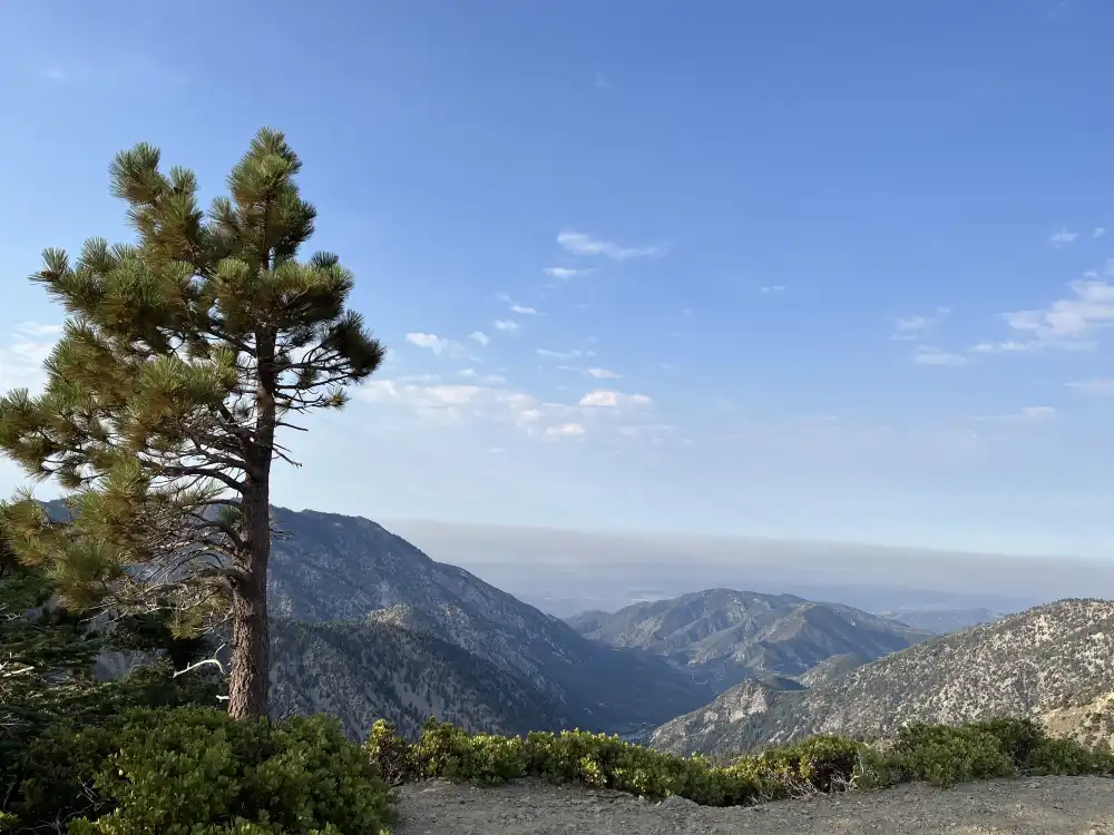
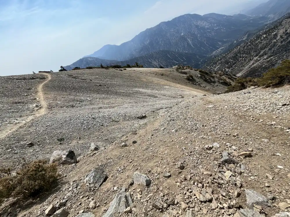
Several hundred feet started, I already felt sluggish, slow, and little lethargic. My knees felt achy with subtle pain, the type of pain you feel when you forget to eat breakfast in the morning. I stopped and eat a Cliff Bar–I remember these things being much healthier… I was moving 270 +/- lbs. up 2,300 feet of elevation gain, at a rate of 12-20 ft/min. There weren’t more than 40 people hiking up Devils Backbone in my group. I didn’t know anyone at the event so I stayed towards the back and socialized when paths crossed. Most of the people I chatted with were not even part of Take A Hike. I took several stops along the last ski slope to drink some liquid, lighten my load and capture these photos:
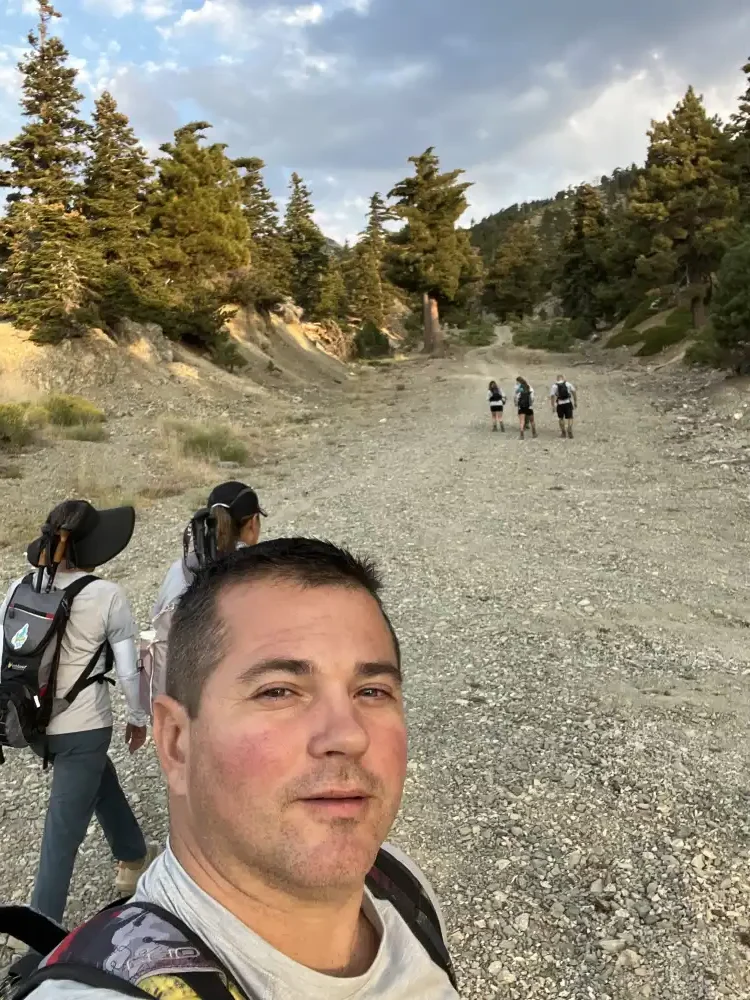
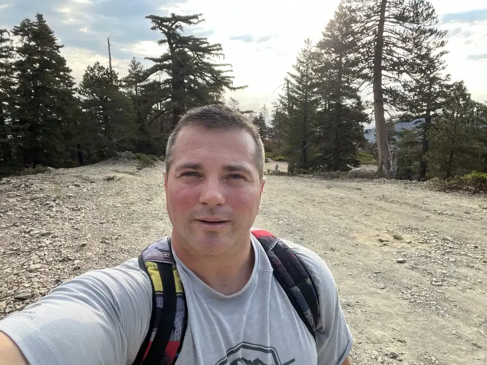
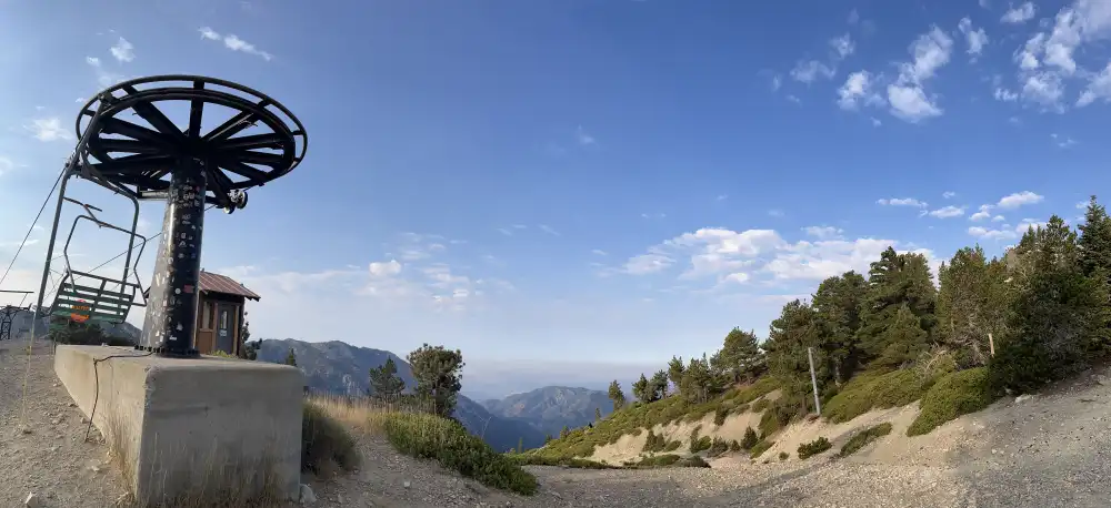
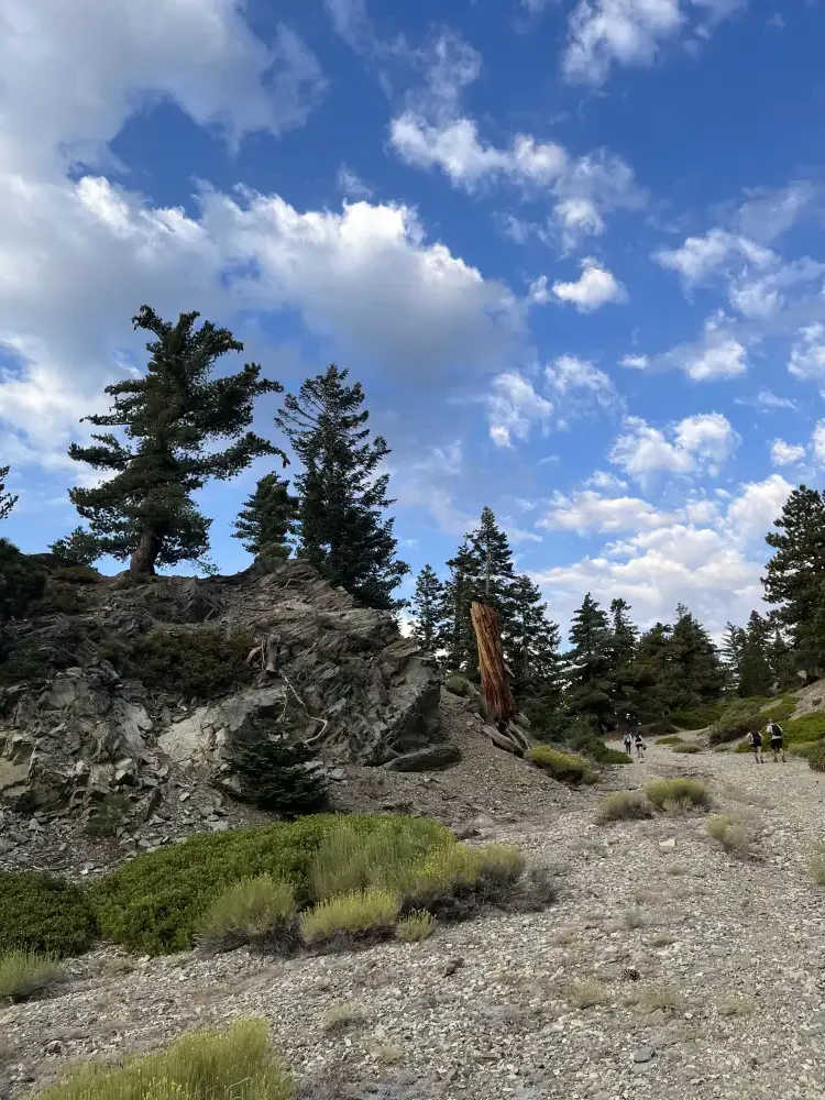
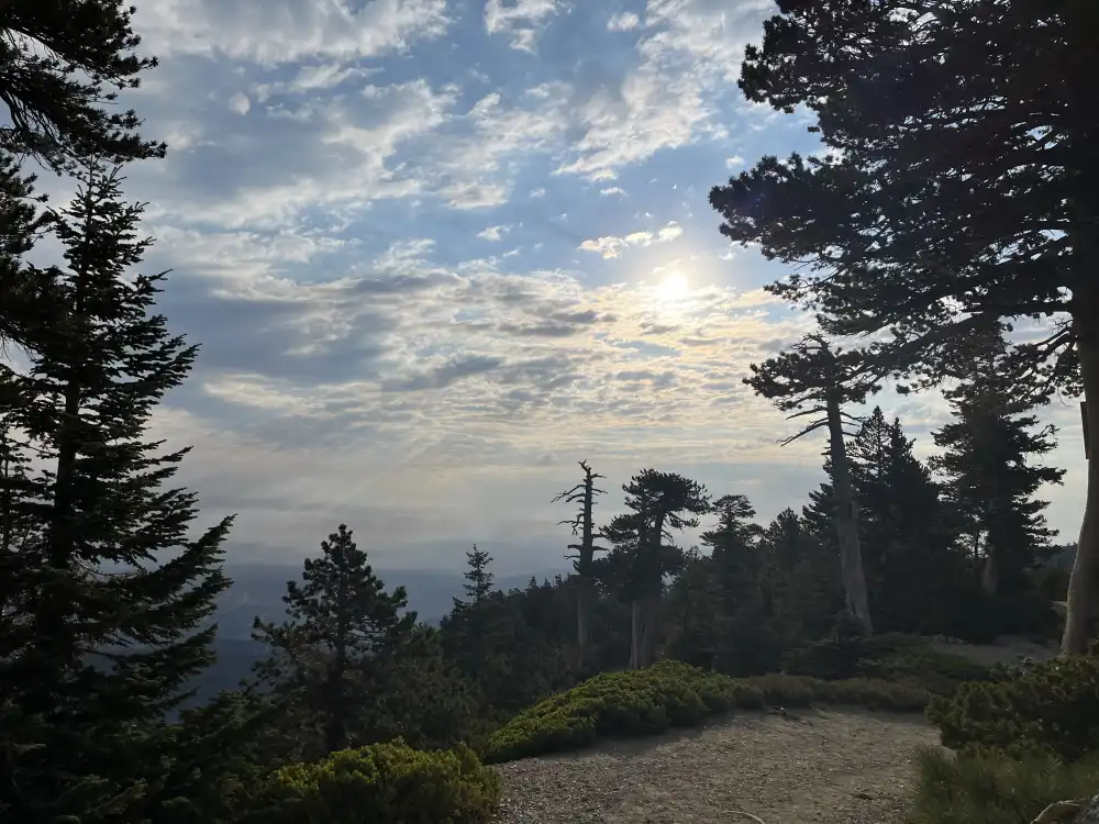
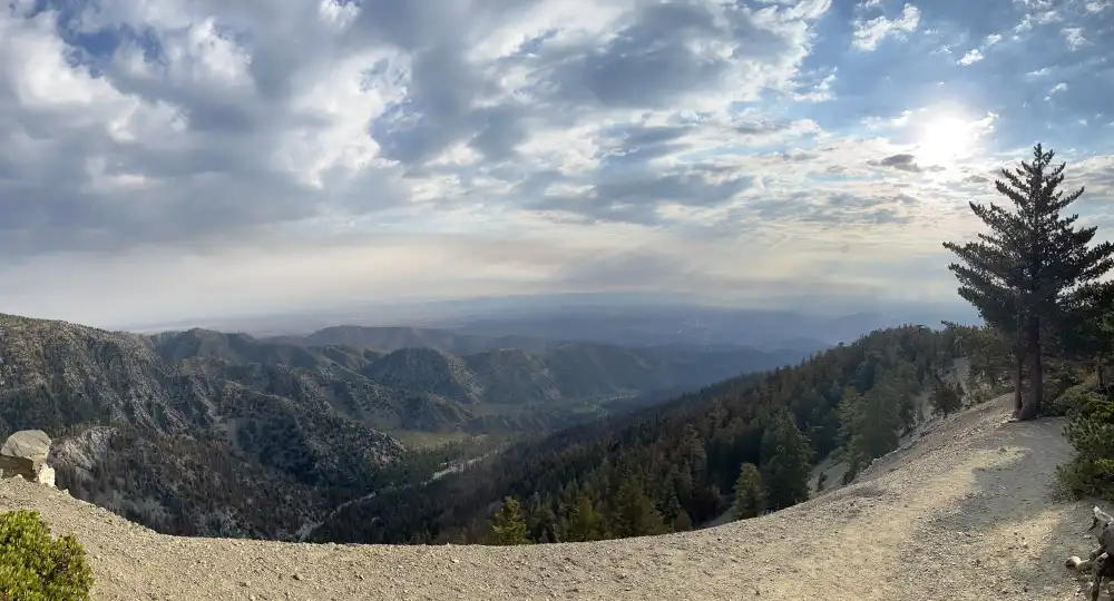
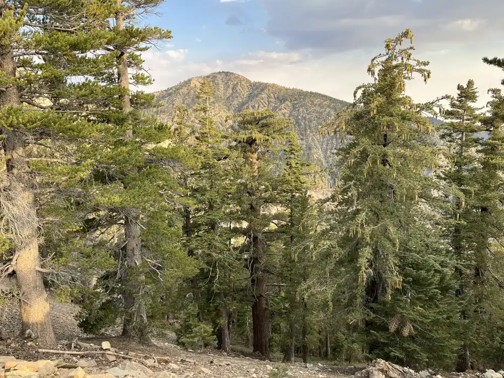
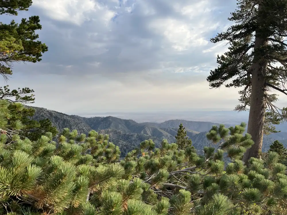
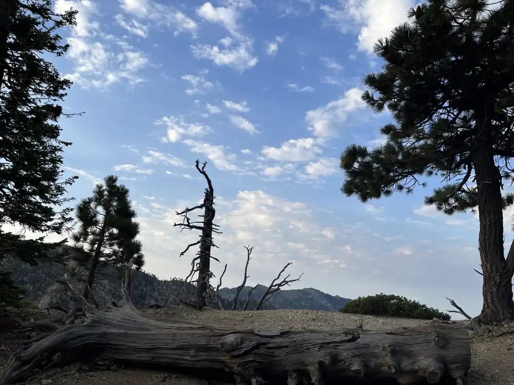
The cumulus clouds and distant fire smoke really lit up the morning sky for the first leg of this hike. I was in awe by the way the sunlight refracted of the clouds and pine trees. Many times I had to stop and remind myself to take some photos.
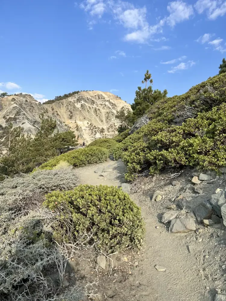
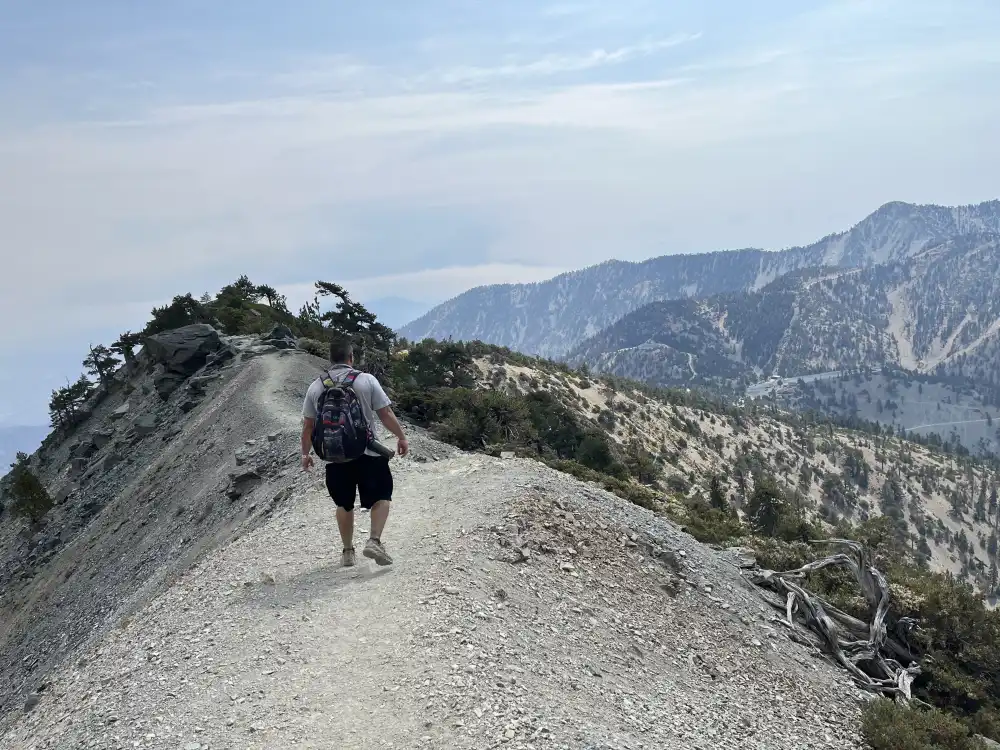
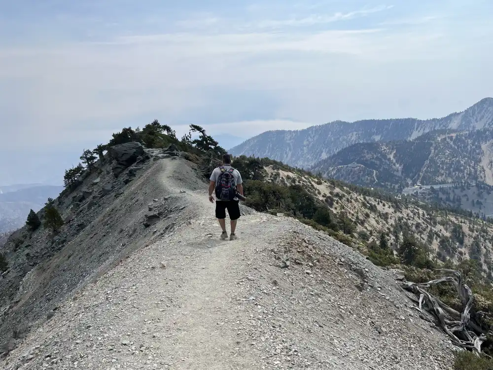
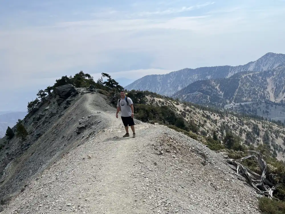
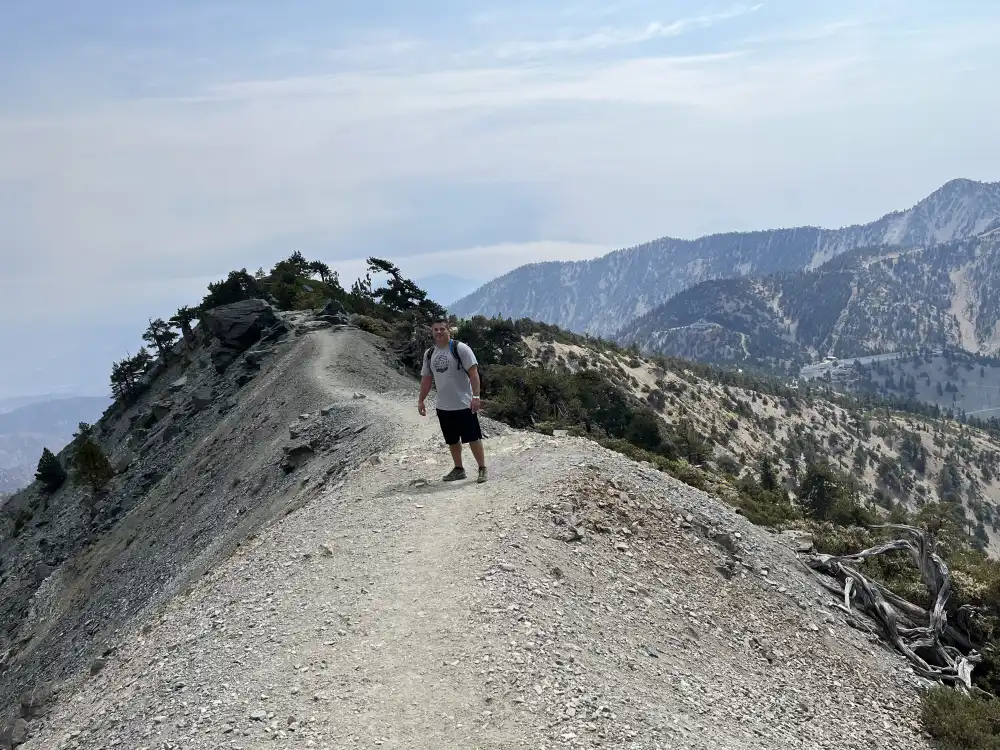
Devil’s Backbone
34° 16′ 57.168″ N – 117° 37′ 9.15″ W
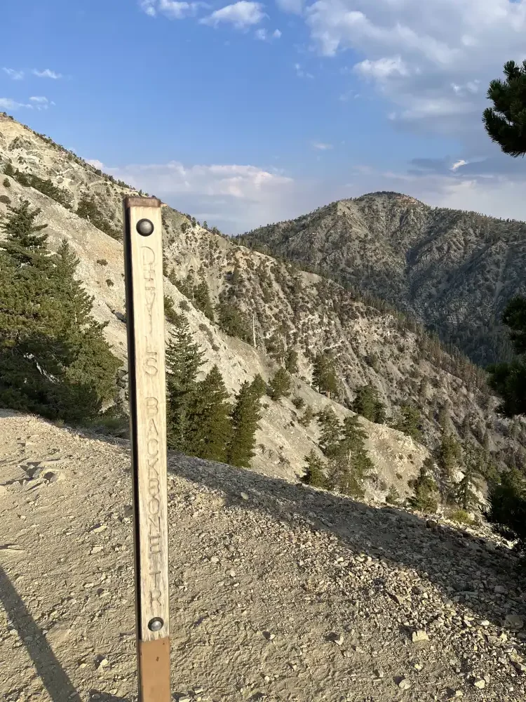
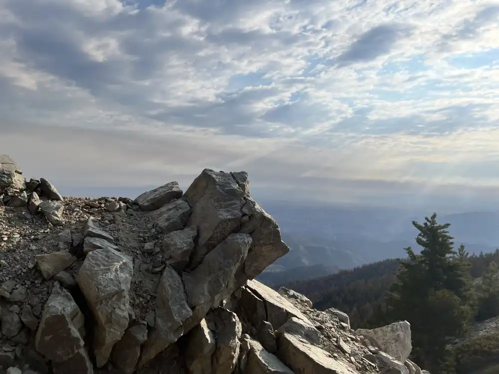
8600ft. @ 78° I finally made it to the trail head marker. I paused to hydrate and snap some pictures, determined to keep moving to the summit of San Antonio. I was feeling good, but questioning how much further the hike was going to be if this is the first marker I crossed. The other hikers explained there was still some elevation gain to come and encouraged me to keep moving. The temperature was still comfortable because of the rise in elevation, whereas down in the cities, it was over 100°.
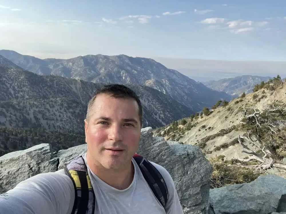
This hike is starting to get difficult and I don’t know how much further it is to the top. Carrying a 40lbs. backpack now seems like a bad idea. Especially considering I passed a lady hiking by herself with a one liter bottle of water in her hand and no pack.
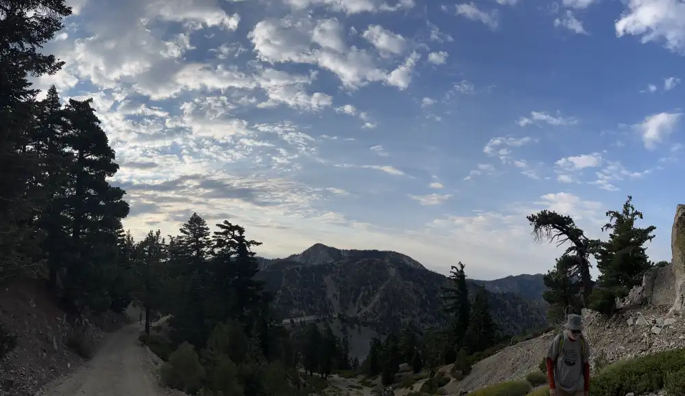
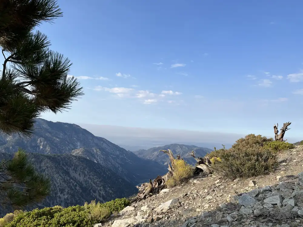
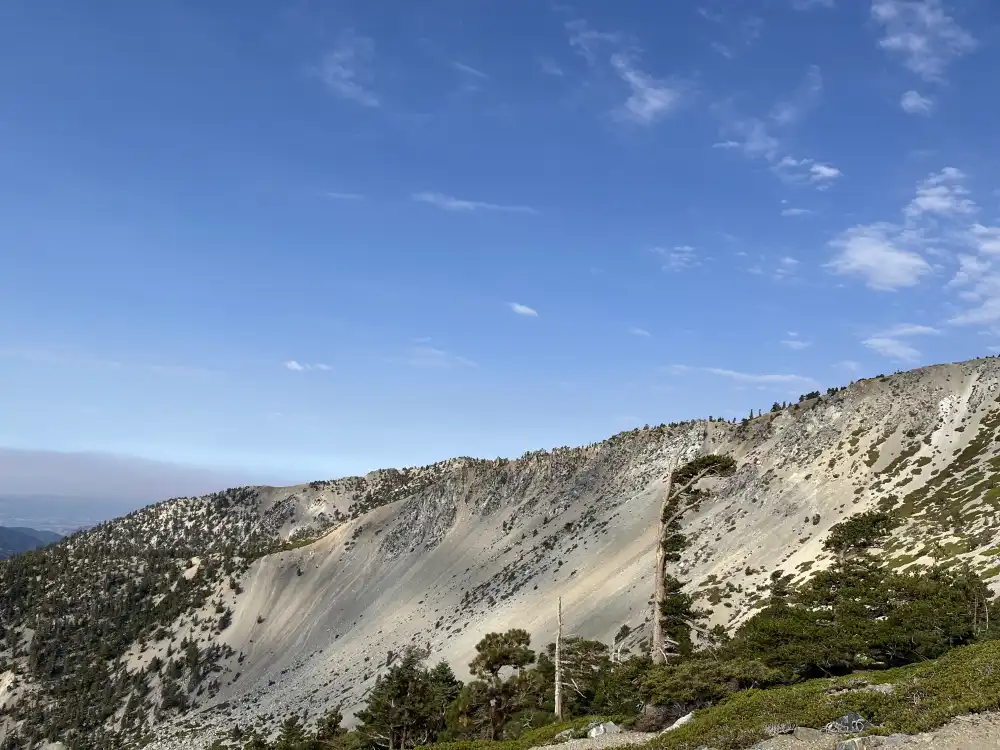
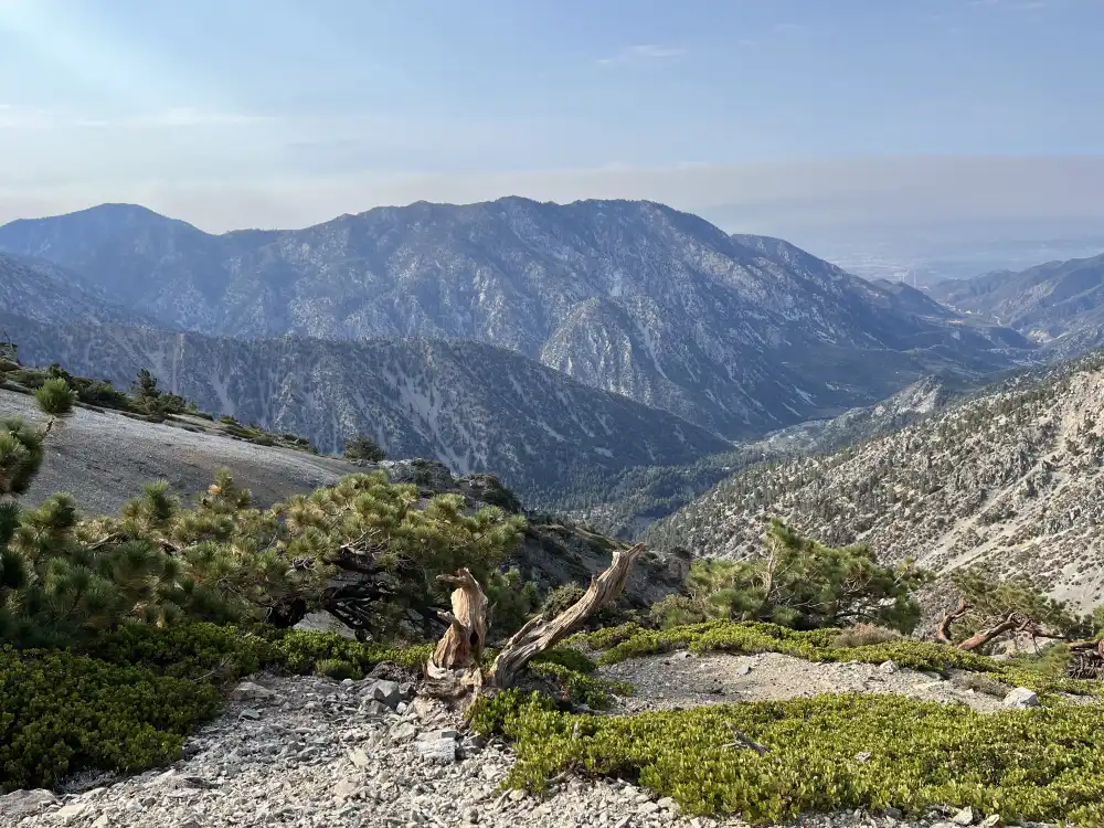
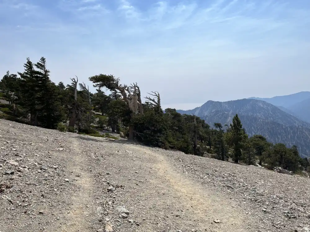
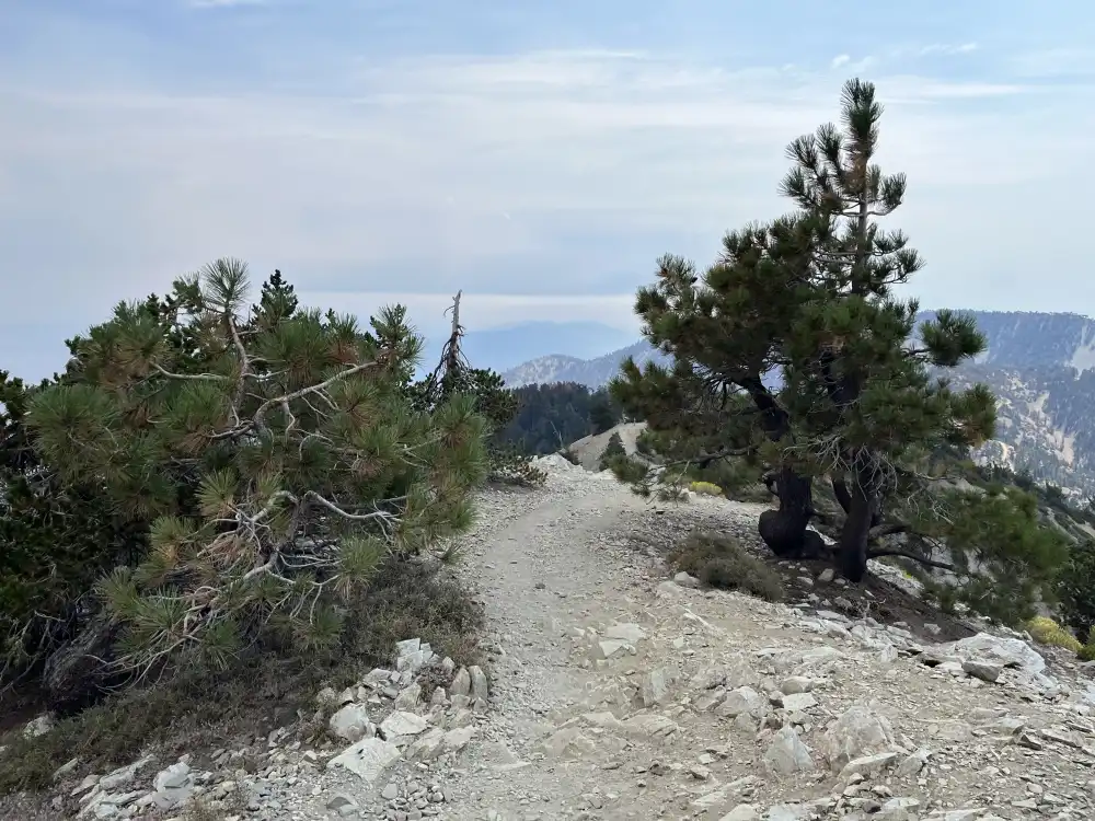
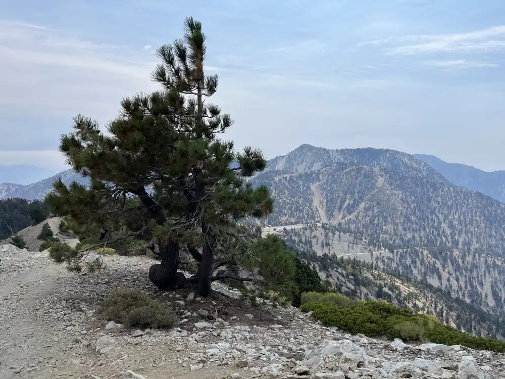
This is one of my favorite pictures from the trail:
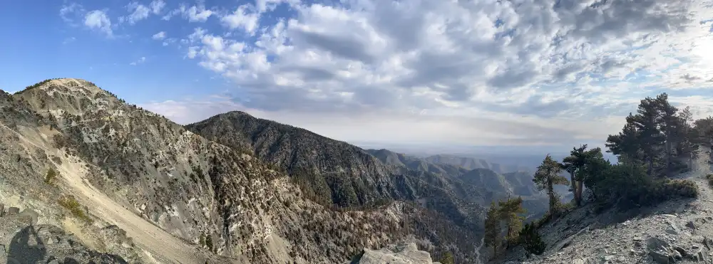
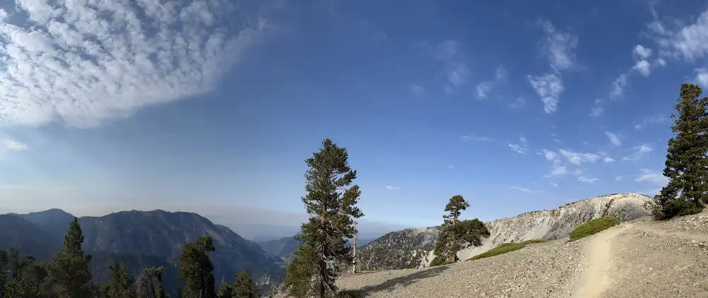
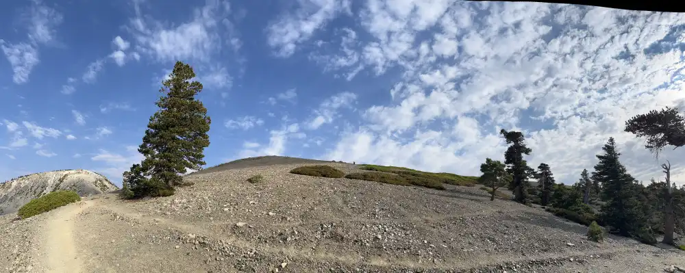
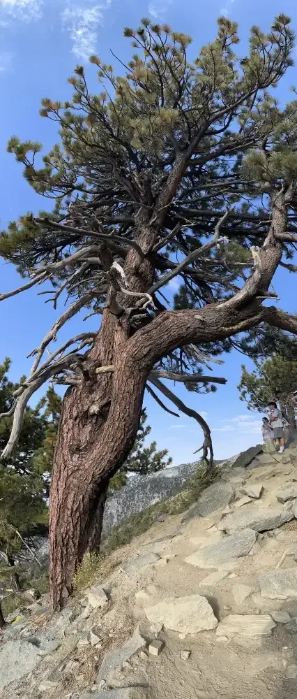
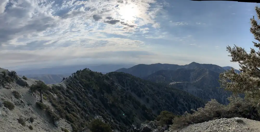
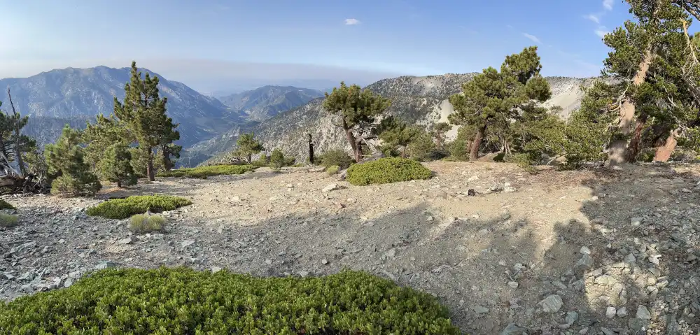
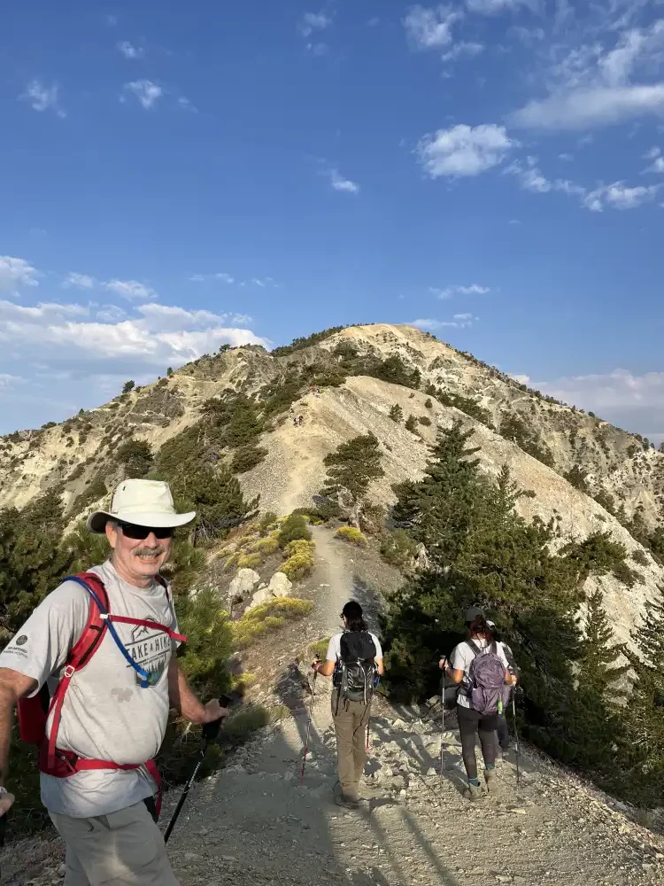
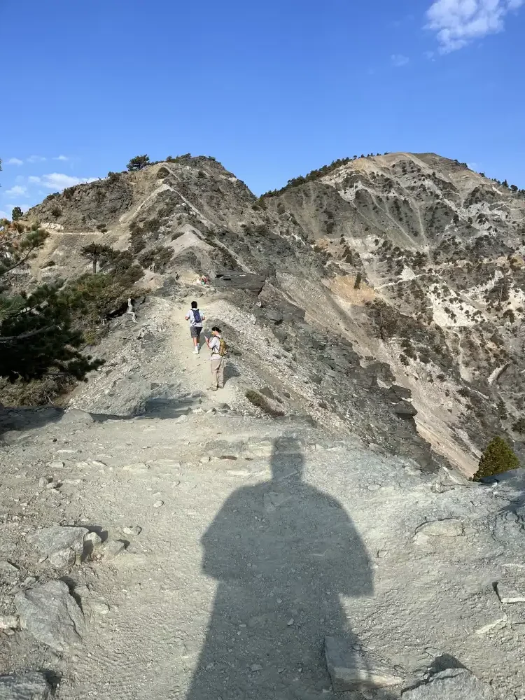
As you can see, I lost most of the people in my group. I don’t know if it was from daydreaming or pictures or fatigue, but one thing is for sure… I really need to work on my cardio and endurance!
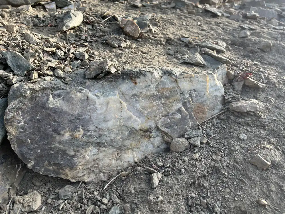
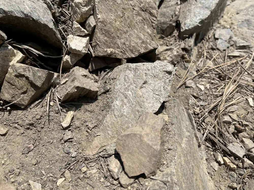
Minerals & Mining
Remanence of mining activities ceased long ago, could be seen scattered throughout the trail and near by mountains–Quartz and Granite veins, blasting and classifying sites, mountain side trails and tailings. Prospectors of the 19th and early 20th centuries searched for gold and other precious metals all throughout the San Gabriel Mountains–Devil’s Backbone offers a glimpse into the area’s adventurous past.
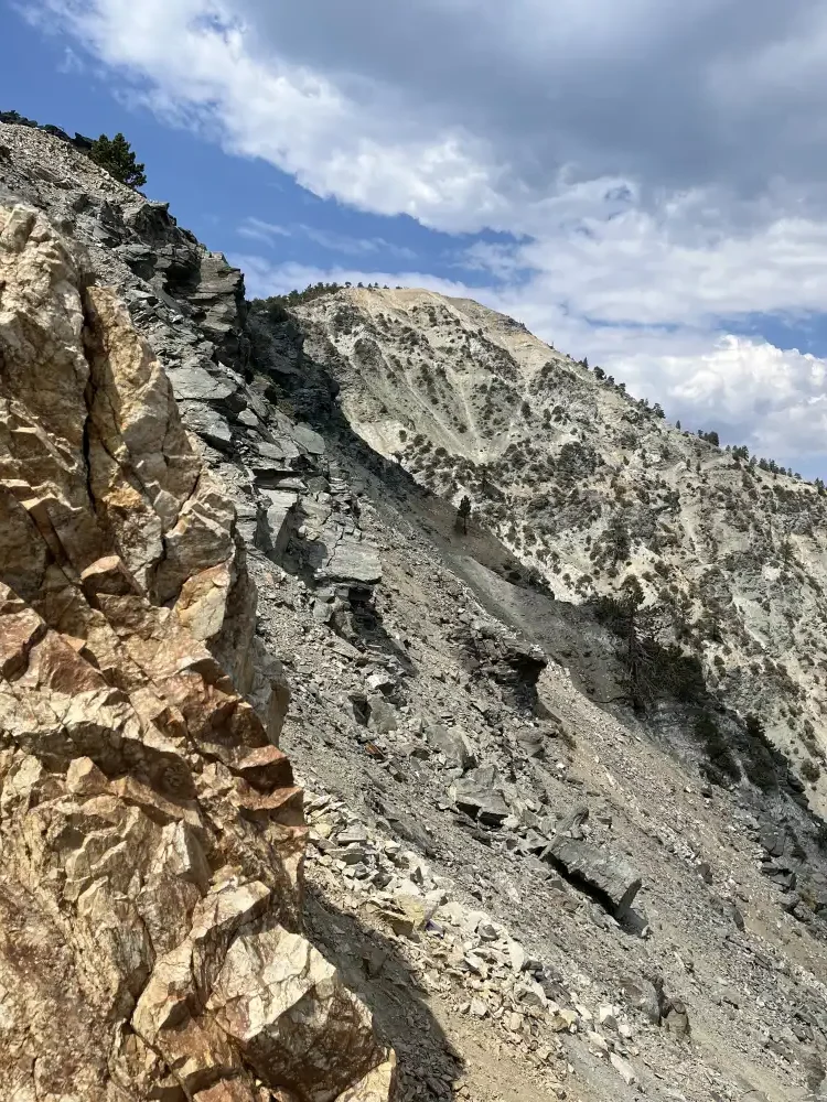
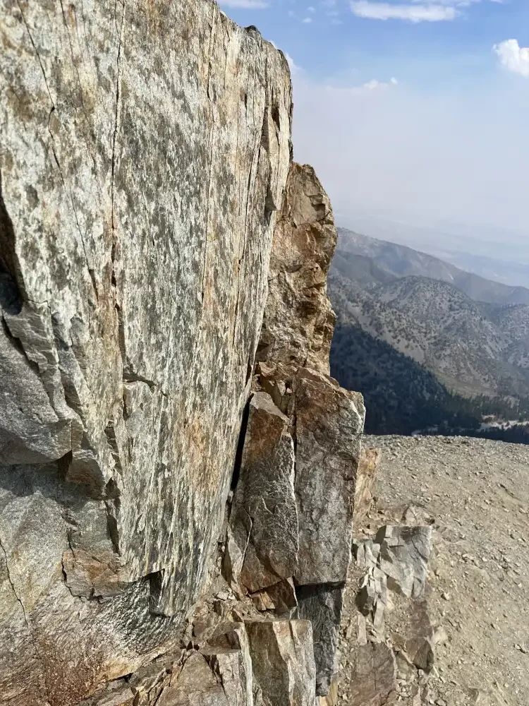
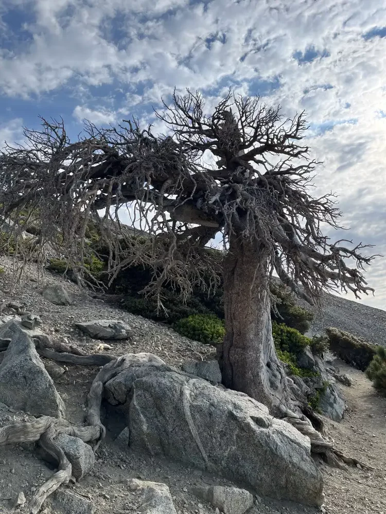
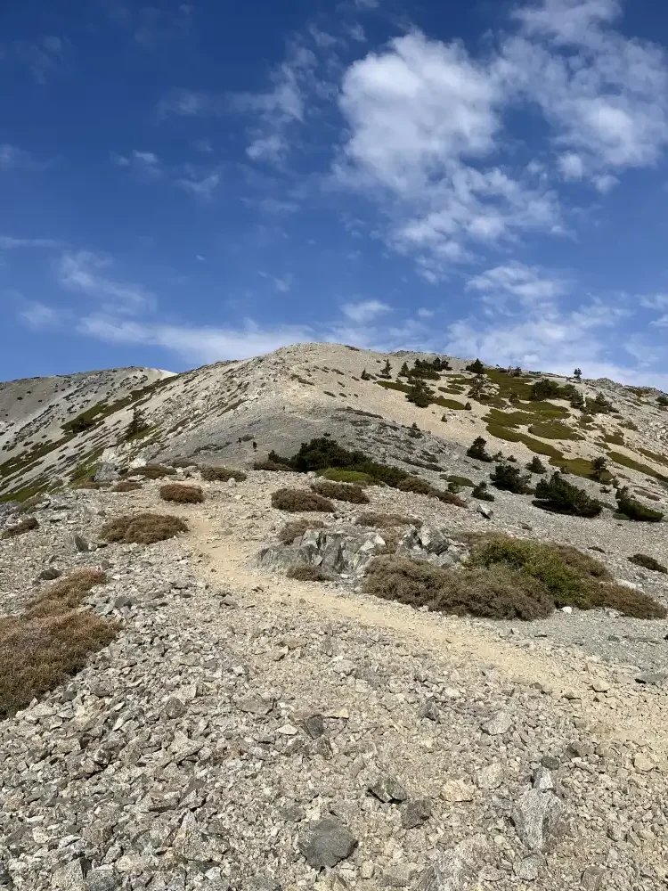
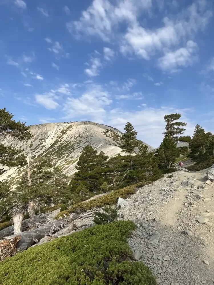
Almost there
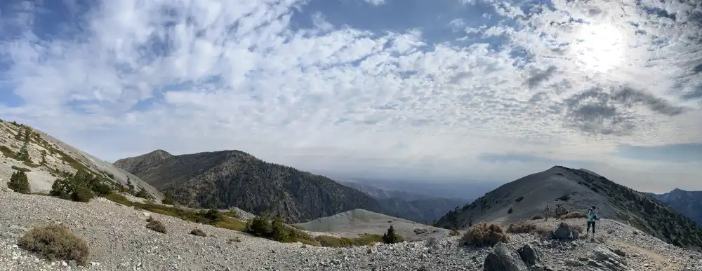
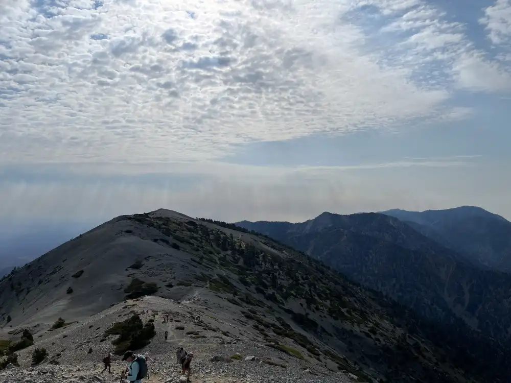
At this moment, my knees started to feel weak, I was feeling light-headed and shortness of breath. I gazed up the mountain, fatigued, still not knowing how much further the hike was going to be. I found a rock and took off my pack and decided to eat a snack and hydrate. Other hikers mentioned a false summit along the way. I thought that it was still ahead, but it had already passed. I looked down and saw a cigarette butt. It reminded me of a life once lived. I smiled and gathered my gear getting ready to trek forward on a step by step basis. My new hiking rate? 10 steps per minute.
As I progressed up the remaining 200 feet of trail, to the top of my sight line, I realized that I had reached the summit. I paused to take my break several hundred feet from the top. Note to self: Take break at top of hill if this close to top.
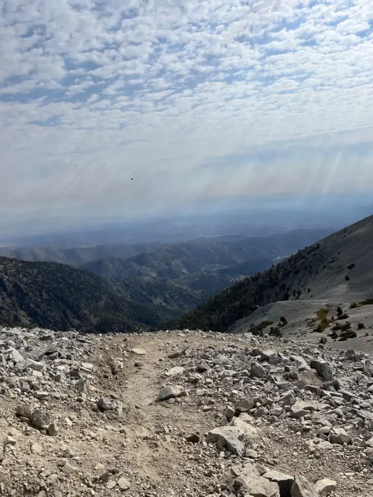
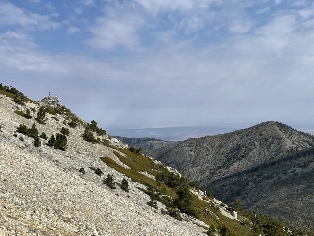
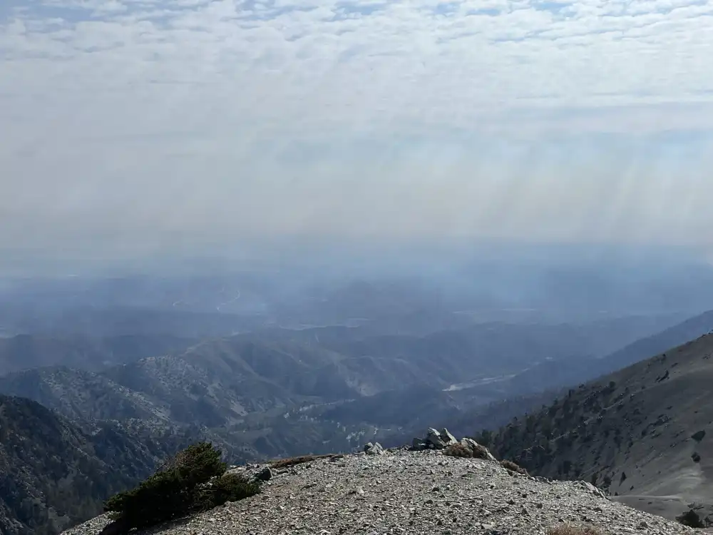
san antonio summit
Elevation 10,064
I finally reached the trailend, hooray! San Antonio summit, check it off the bucket list!

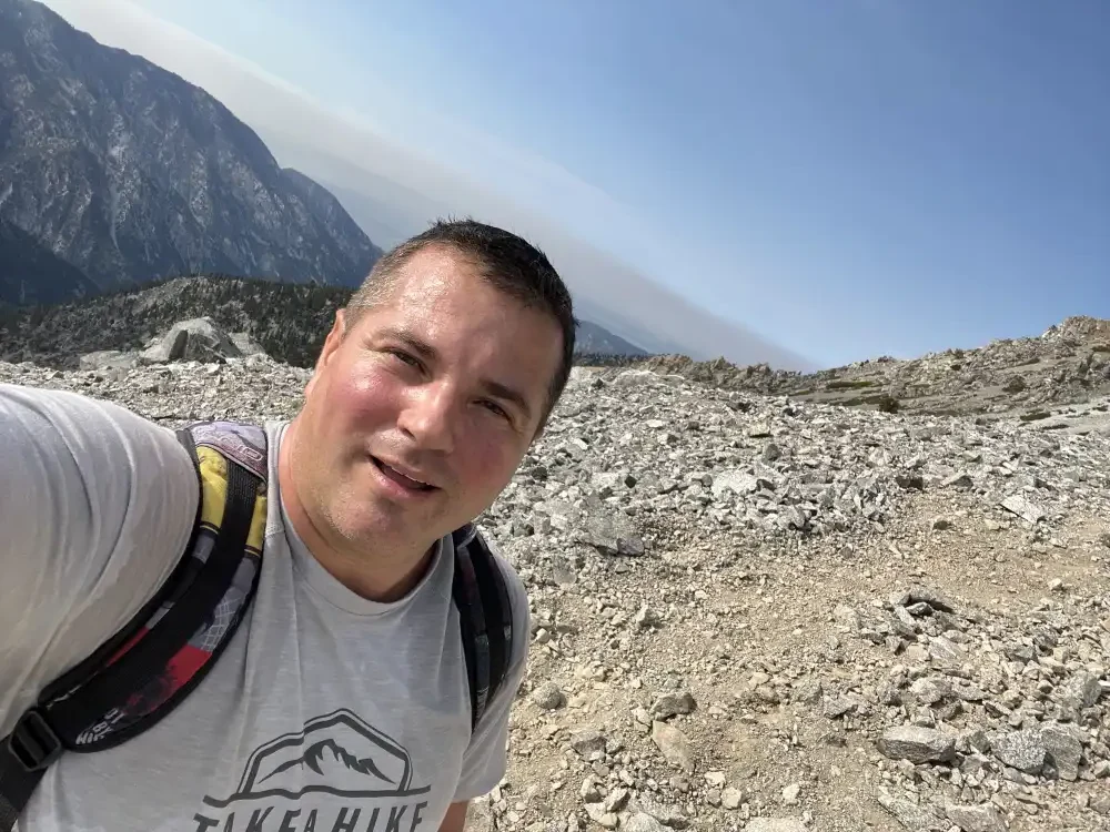
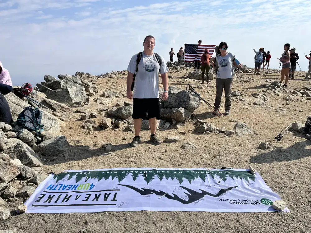
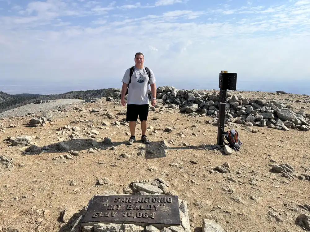
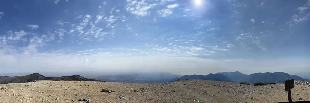

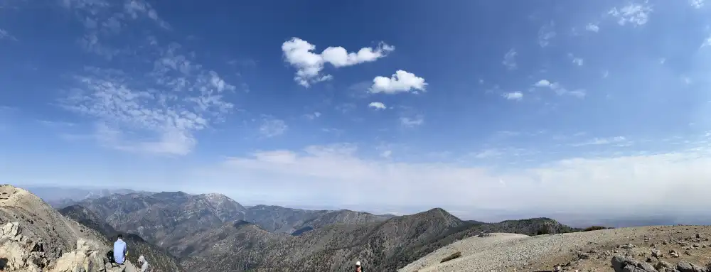
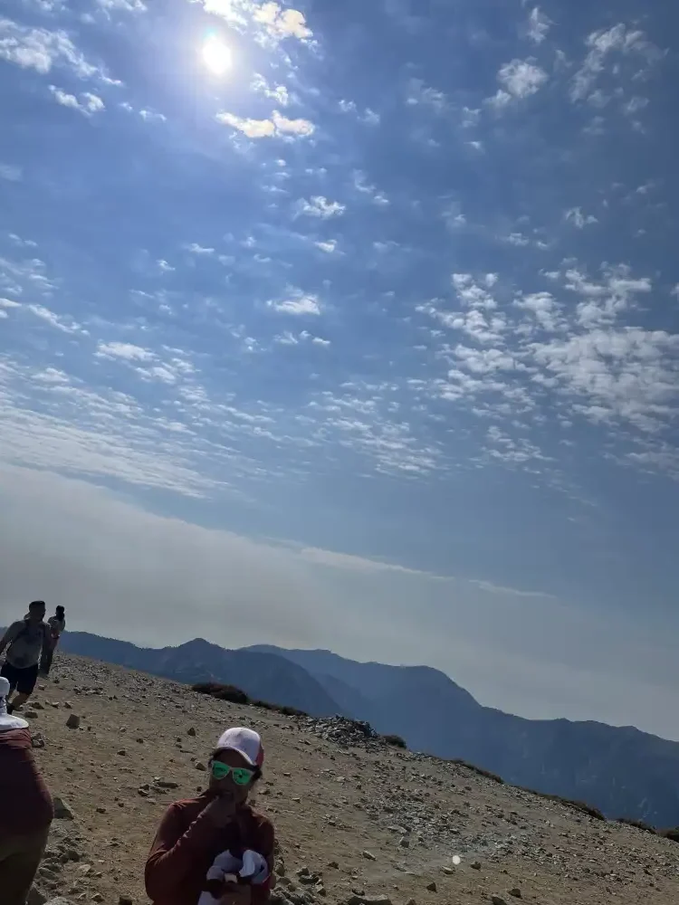
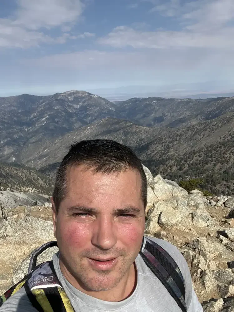
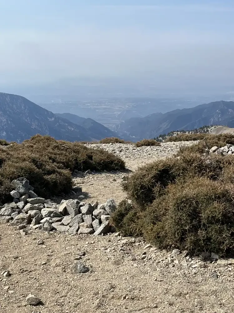
Most of the trail I was hiking by myself with few people, but did not feel solitude till at the top surrounded by other hikers.
Mt Baldy Descent
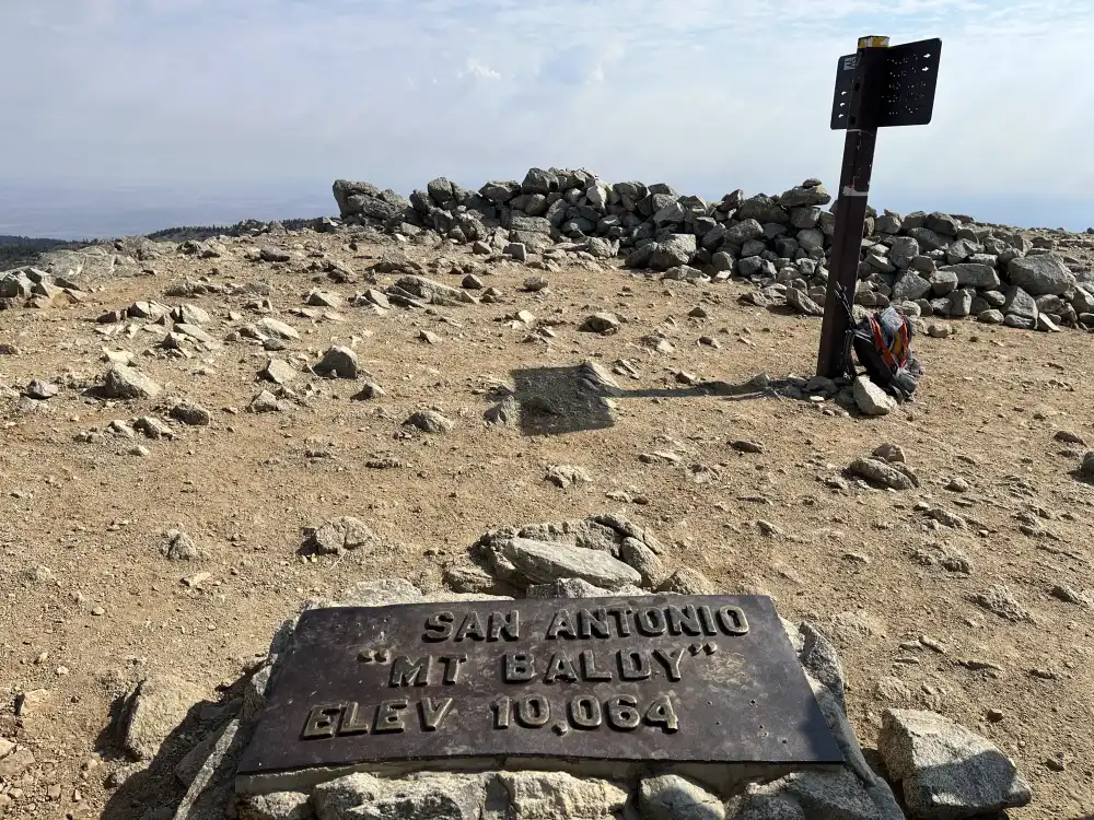
I looked for my Black Diamond Trail Back Trekking Poles when I left the house this morning. I think I left them in Las Vegas. I sipped on my pineapple juice before leaving, but still had most of the Thermos left–along with most of my remaining snacks. I was prepared for an overnight hike and I thought it was all down hill from here. But with 30+ pounds of gear on a 2300+ foot decent, without any pole support for my knees, the hardest part of this trail was yet to come.
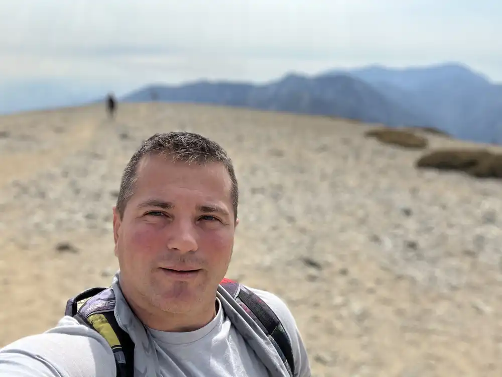
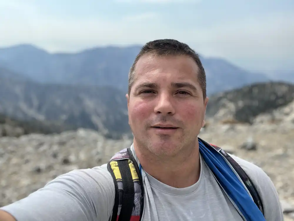
The Art of the Selfie
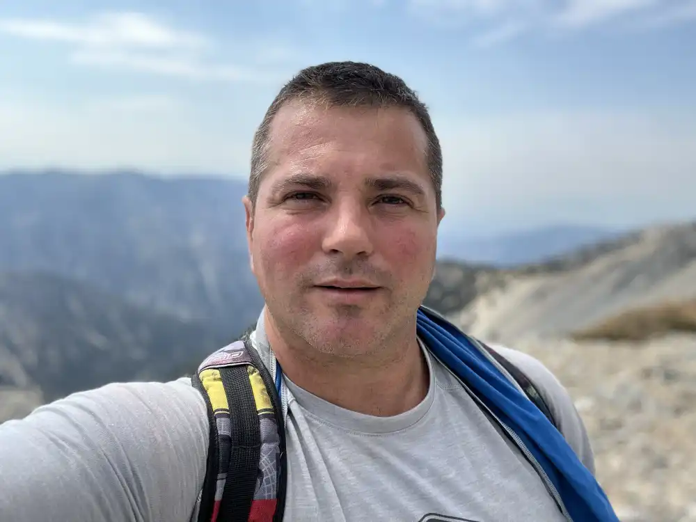
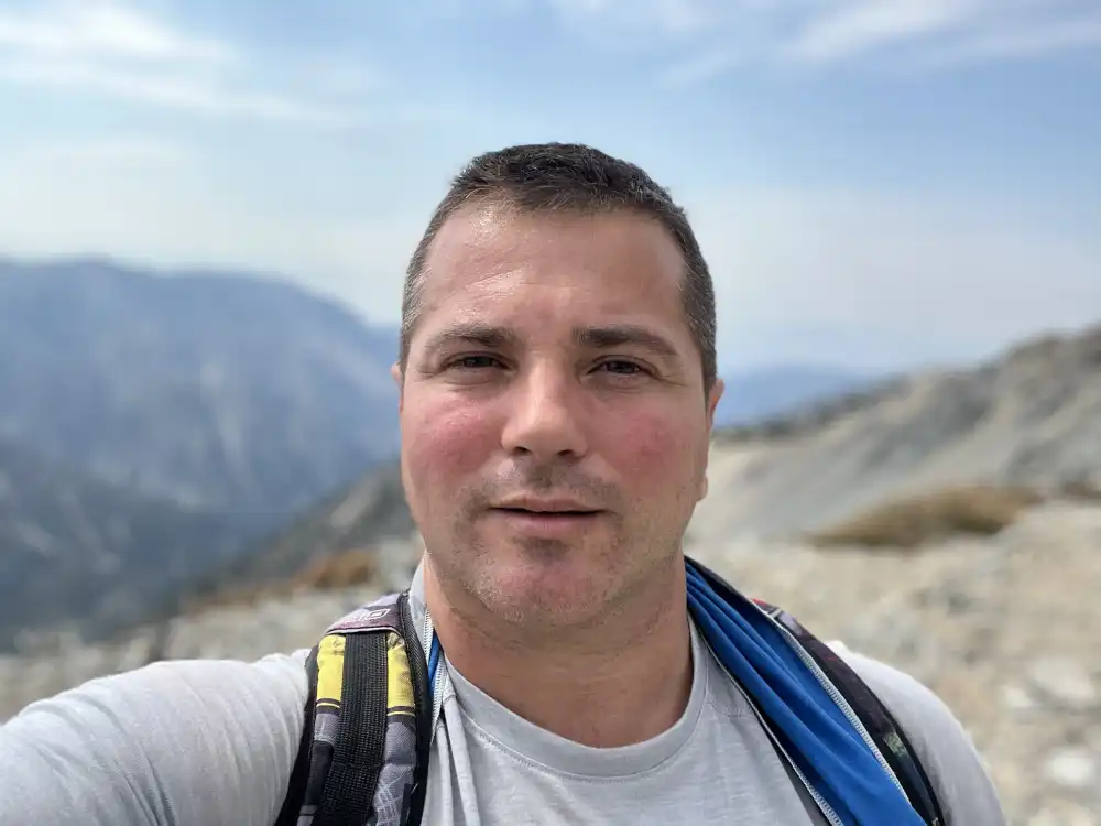
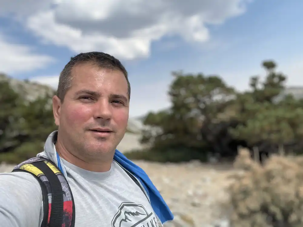
At 40 years old, I still haven’t mastered the art of taking good selfies. I always look off to either side of the camera, or squint, or blink, or look distorted, or like I need to take a dump…
The hike back was arduous and painful. Each step made me think about how I need to remember to take glucosamine for my joints. Skipping breakfast in the morning probably didn’t help either. However, my joints are better than when I was in my 20’s–my overall health is too! And a buffet of food was just down the hill at the Top of the Notch Restaurant.
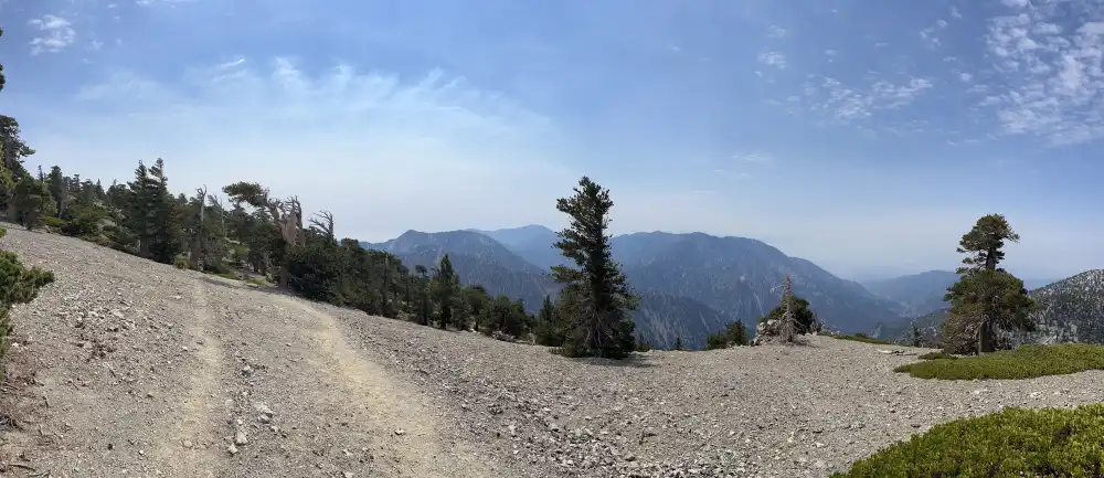
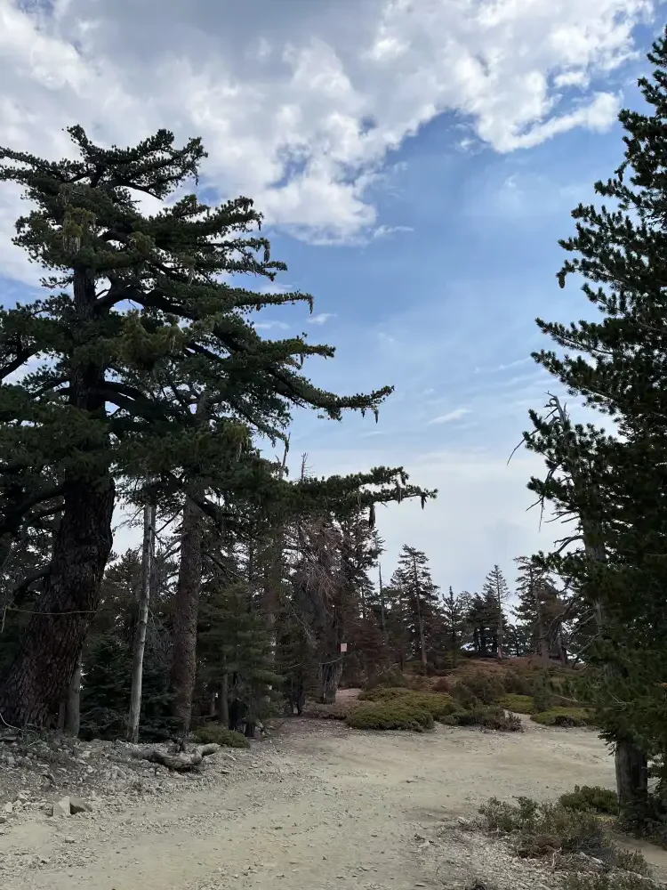
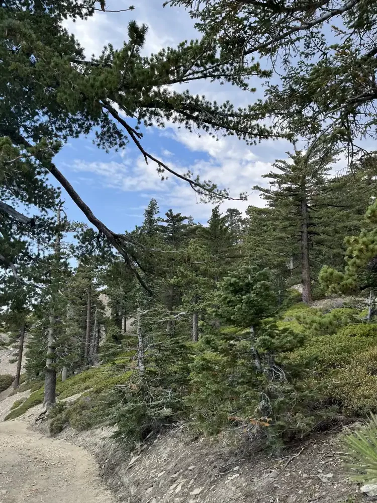
Heading back into the forest
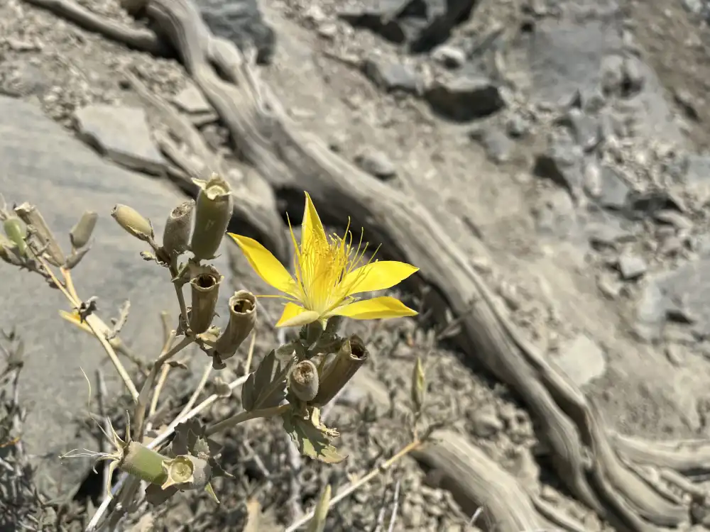
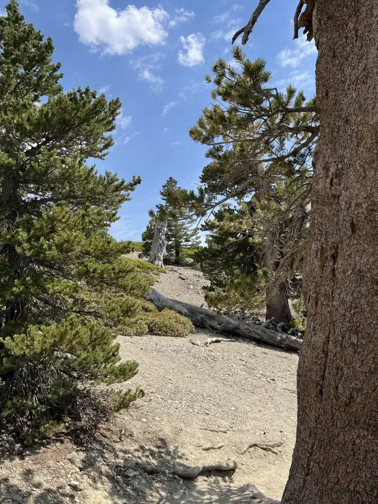
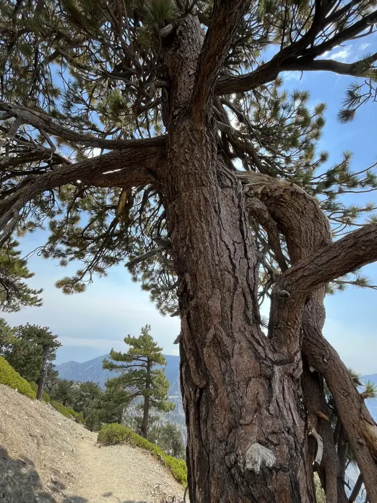
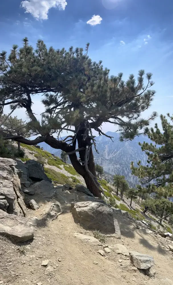
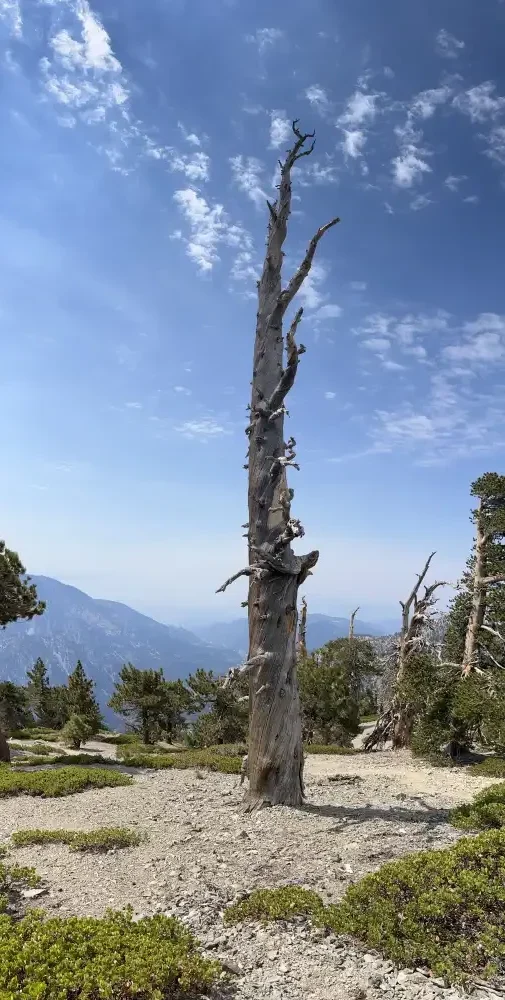
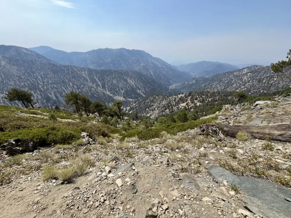
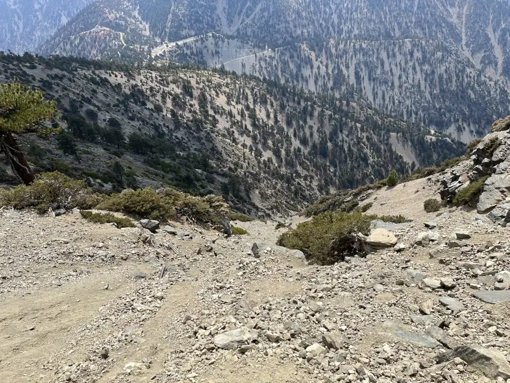
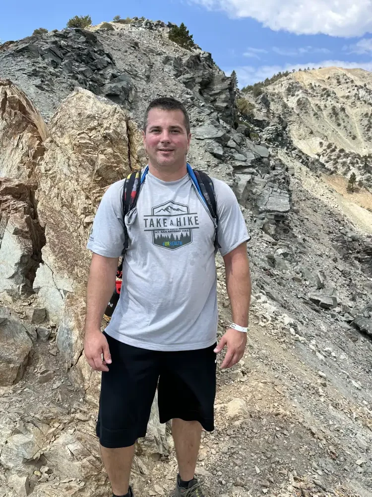
I met a nice group of women about half way down the trail. We started chatting, and also helped each other out with taking pictures. I probably should have taken a picture with them? It was nice having people to converse with on the last bit of trail back down to the Notch.
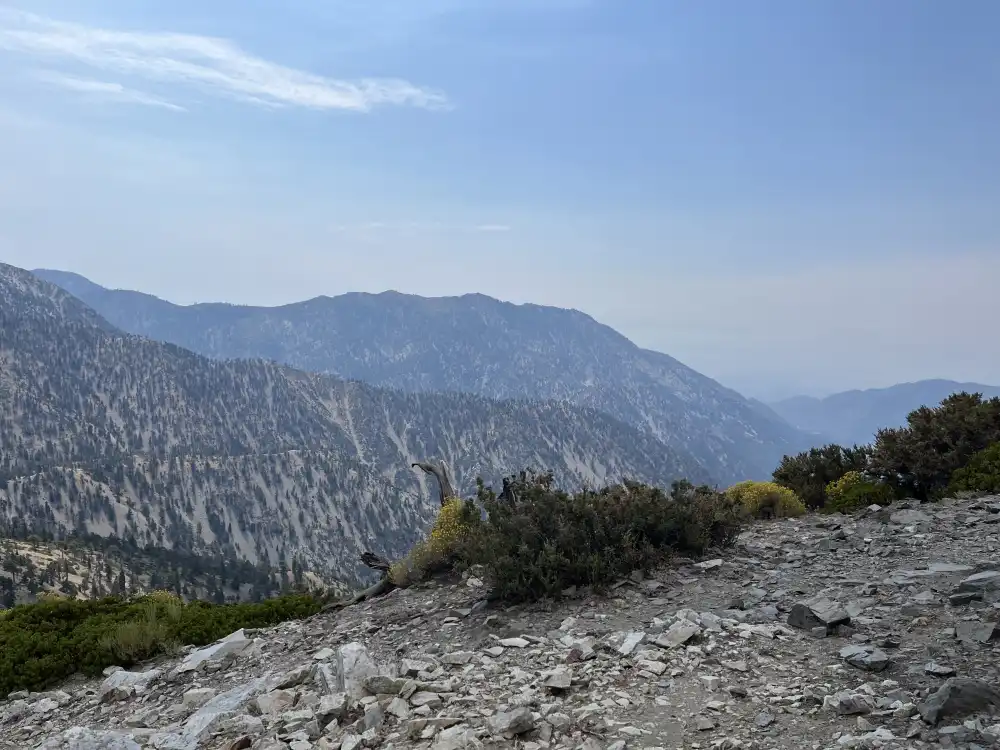
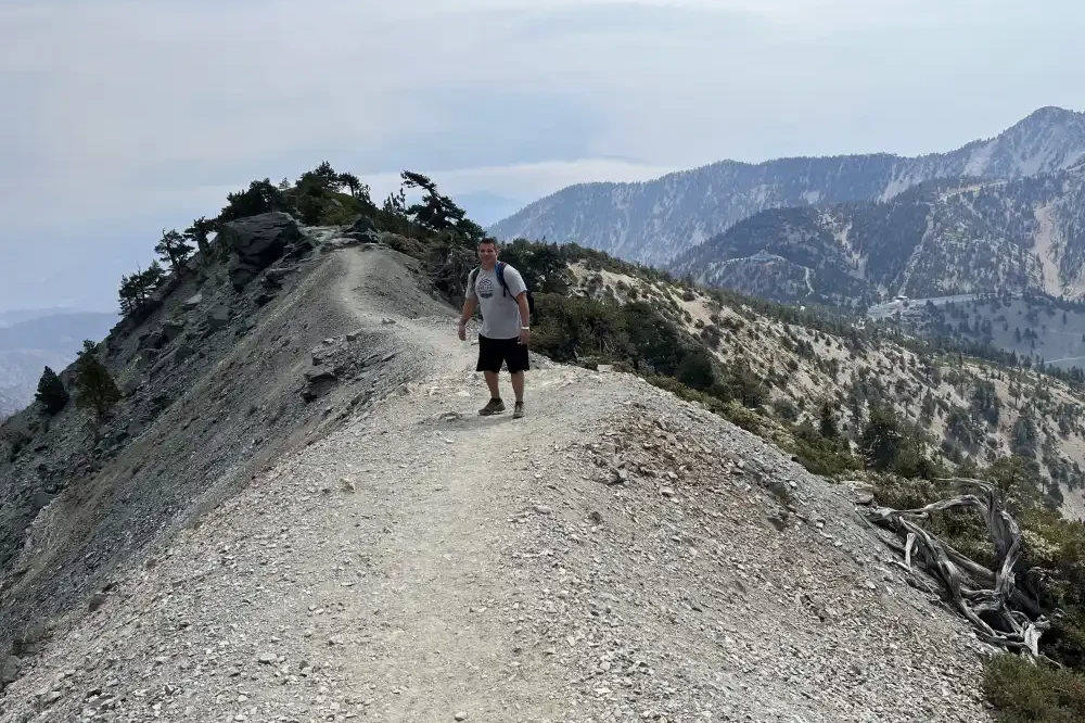
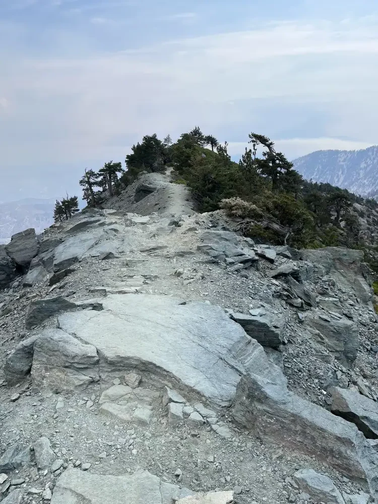
Steep cliffs on either side
Here’s a fun fact that google couldn’t easily answer:
Devil’s Backbone, the trail on San Antonio Mountain (commonly known as Mount Baldy) in California, got its name due to its narrow, exposed ridgeline that drops off steeply on both sides, resembling the spine of a “devil” or something dangerous. The dramatic, precarious nature of the trail has long captured the imagination of hikers and climbers, with its high winds, steep slopes, and sharp drop-offs giving it a reputation for being both thrilling and intimidating, much like walking on a “devil’s backbone.”
– ChatGPT
rescue ranger Greeting Guests
I tried to toss him some leftover bread, but it looked like the chipmunk was more interested in greeting people than eating.
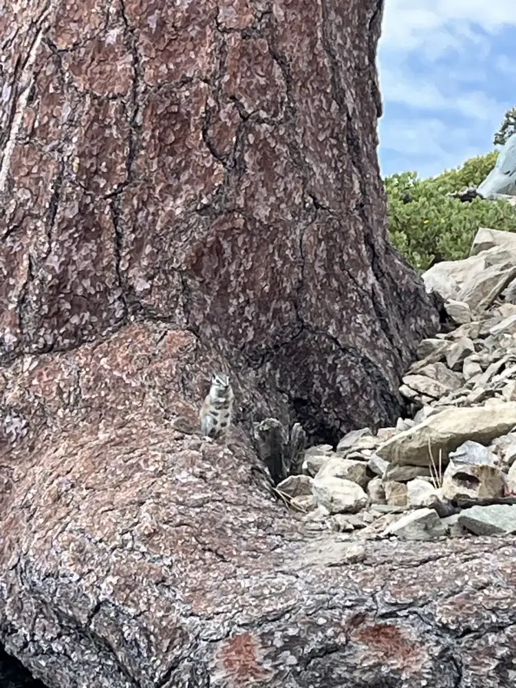
Unfortunately, this was as close as I could get to the little fellow without alarming him. Time to upgrade my iPhone and go pro–or better yet, rebuy a professional lens and Cannon camera like the one I pawned to goto EDC 2014. Until then, pixelated close ups will have to do.
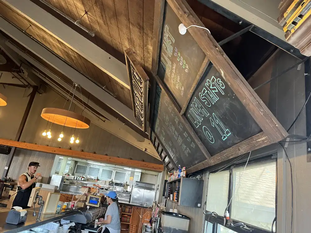
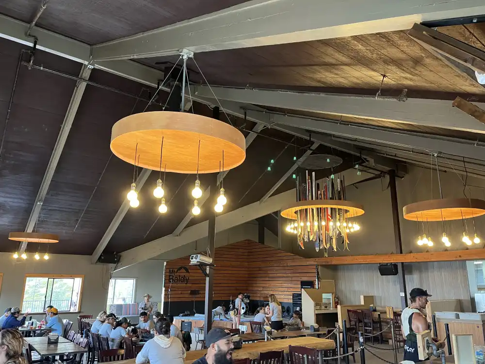
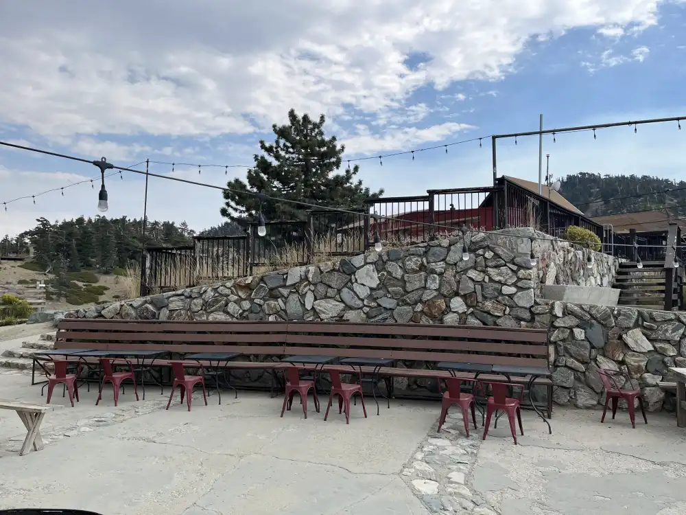
Top of the Notch RESTAURANT
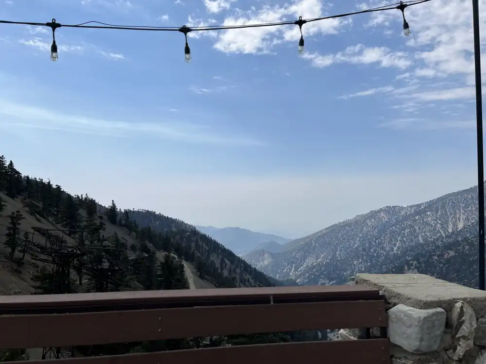
A little bit further and we were back at the Notch Restaurant for lunch. Take A Hike purchased a buffet for all of its hikers was okay and nice of them–Note to self: Purchased food would probably be a better choice for next-time. Something about making food in bulk loses its quality and flavor. Overcooking? Prolonged Heating? Either way, it was nice to have a hot meal and enjoy the panoramic views.
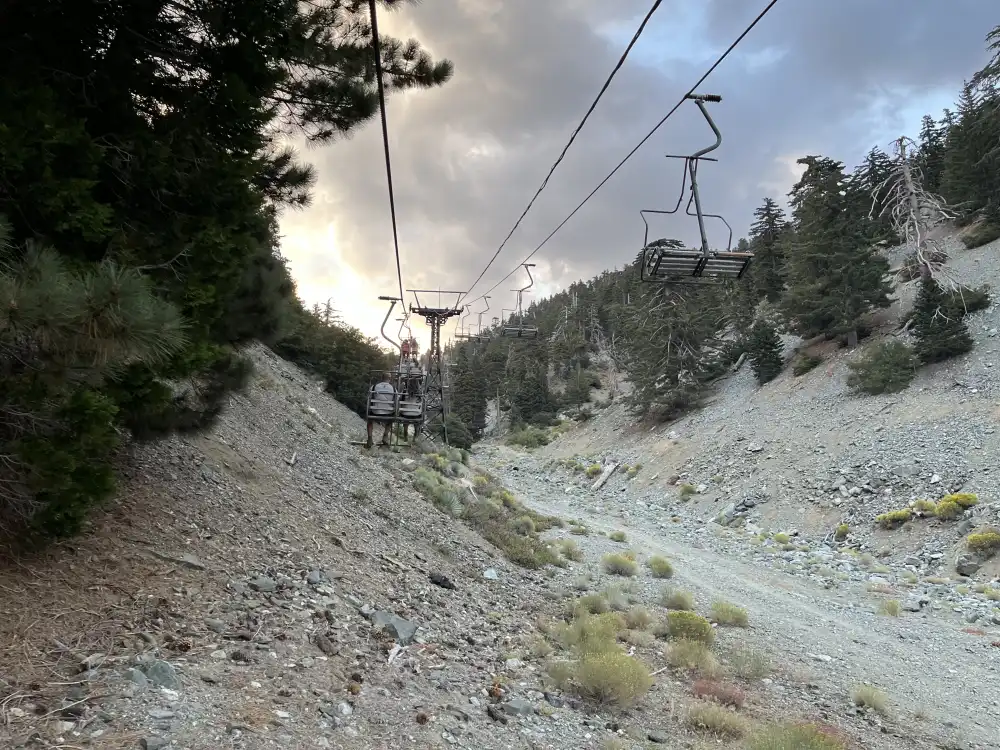
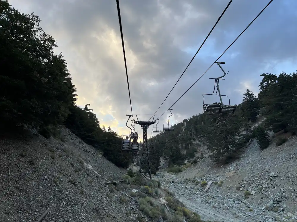
Rain clouds and thunder started inching towards the restaurant from high up on the mountain (where I just was). I decided to call it a day, said my goodbyes and took the lift chair back down to the parking lot.
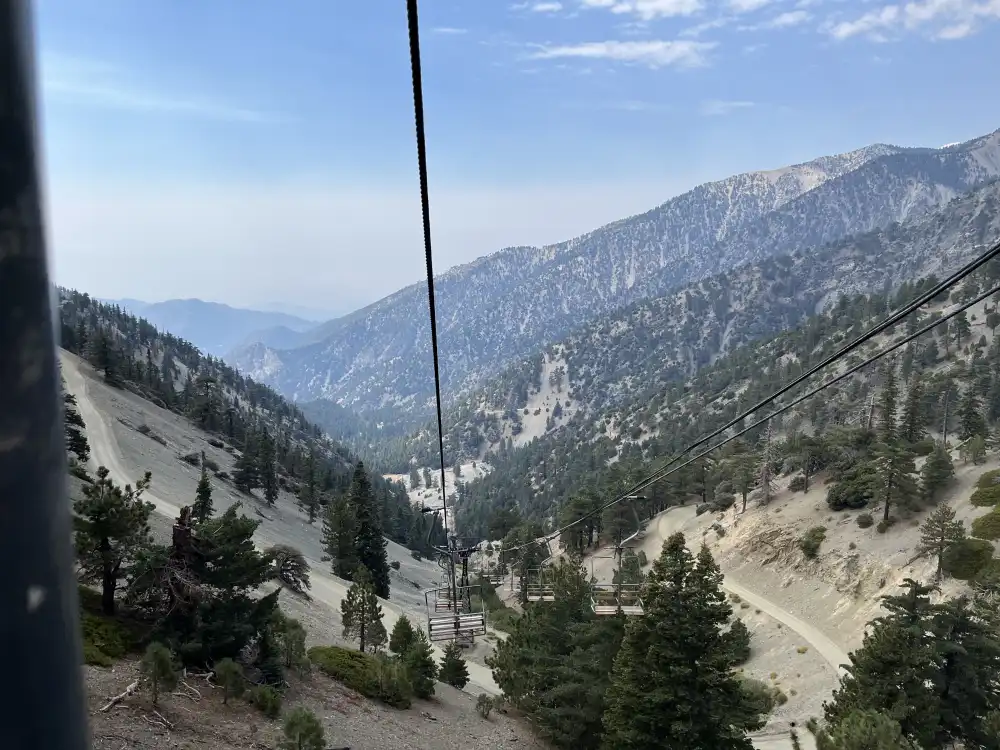
Next time I’ll bring Panda and hike the whole trail from the parking lot (now that I lost my training wheels). I noticed several people did bring their dogs and they all looked so happy, but you can’t bring them on the chair lift, and being my first time, I didn’t know what to expect.
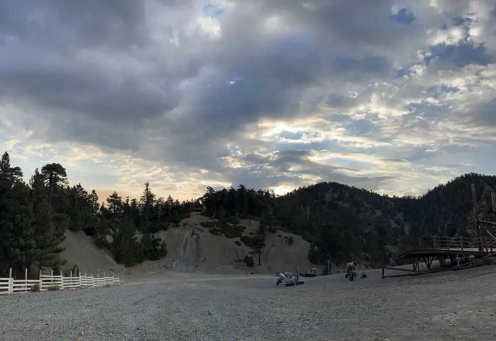
view East from bottom
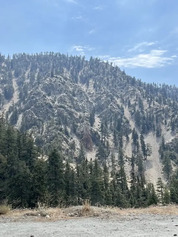
Mt. Baldy Parking Lot
The Drive Back Home
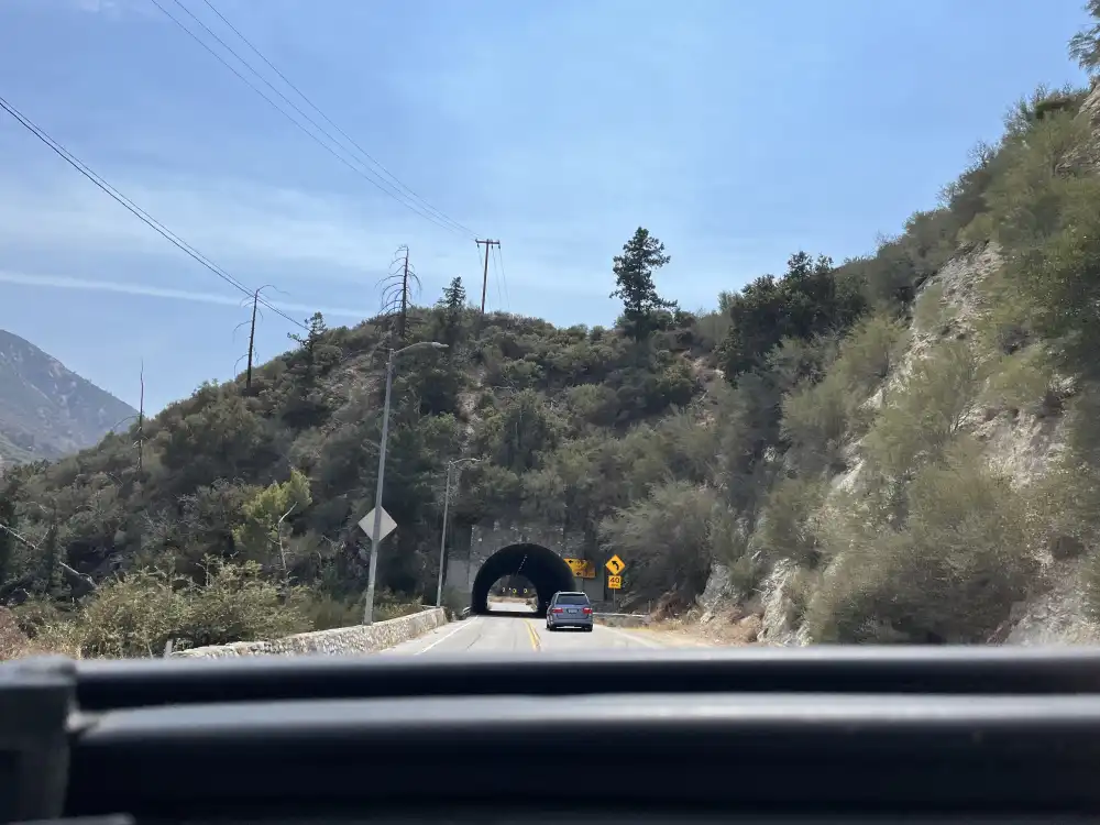
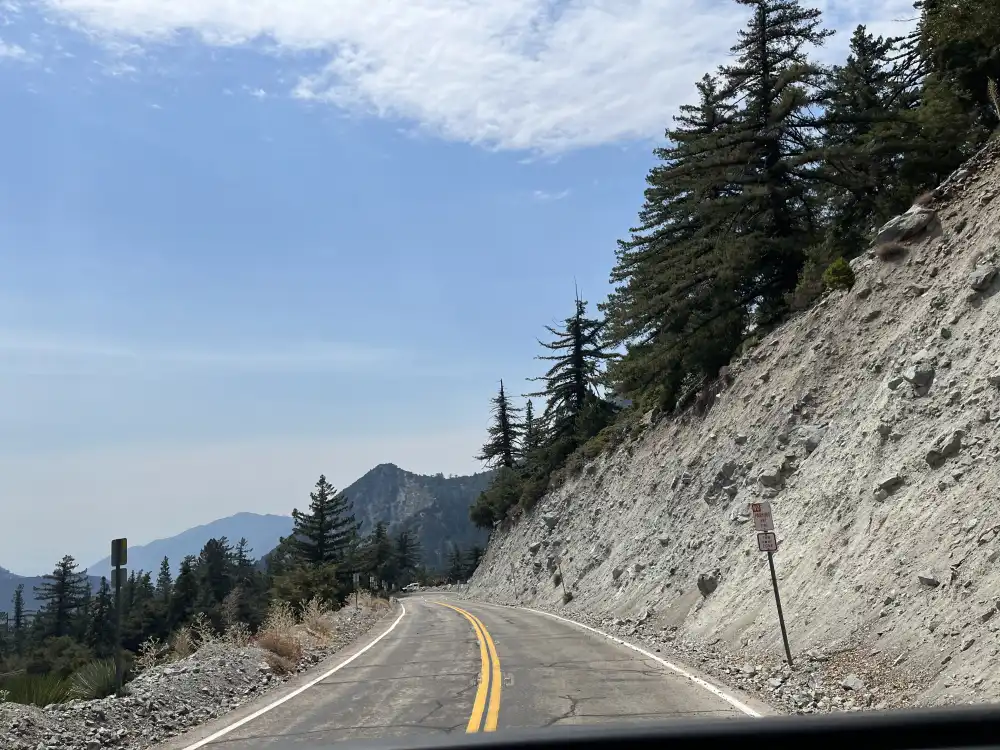
I could see much better during the day (go figure). So I took a bunch of pictures while driving back down Mt. Baldy Rd.
Mt. Baldy Rd. splits towards the bottom allowing you to choose Claremont or Upland as your exit point. I opted for Claremont because of its pleasant scenery and downtown shops.
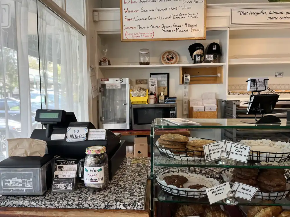
Some Crust Bakery
There’s a special bakery tucked away in downtown Claremont. It’s been around for over 100 years. No trip to Claremont would be complete without first stopping at Some Crust Bakery for a box of goodies. I picked up a few Almond Croissants and headed back home for some much needed rest and recovery.
