A Brief Hike at Mt. Shasta
41.364544 , -122.201336
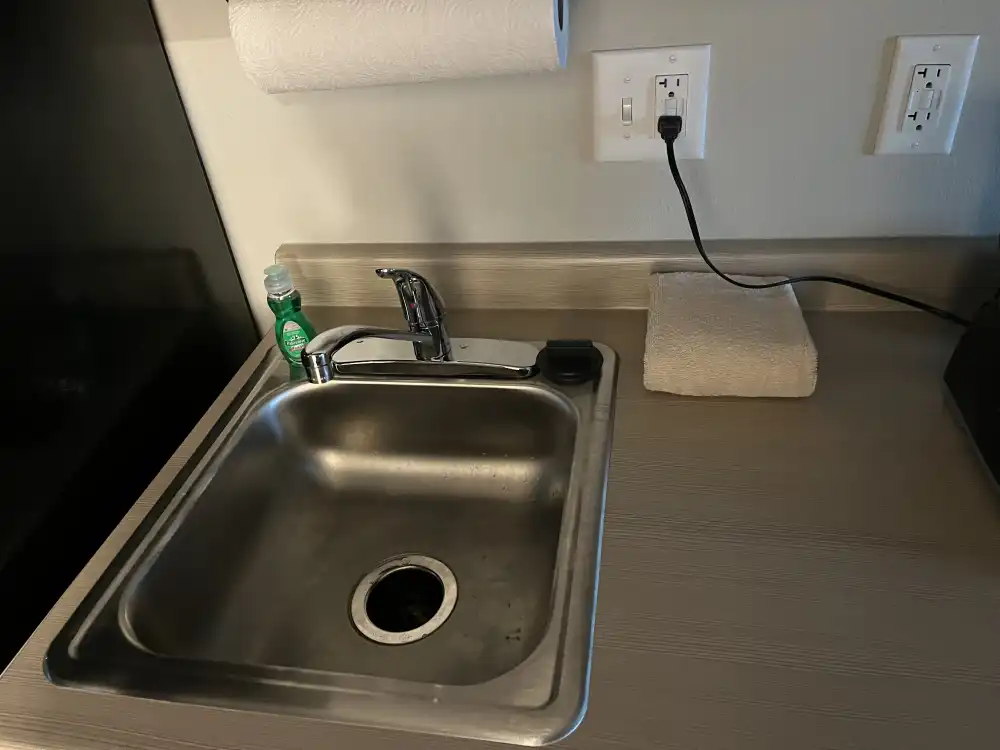
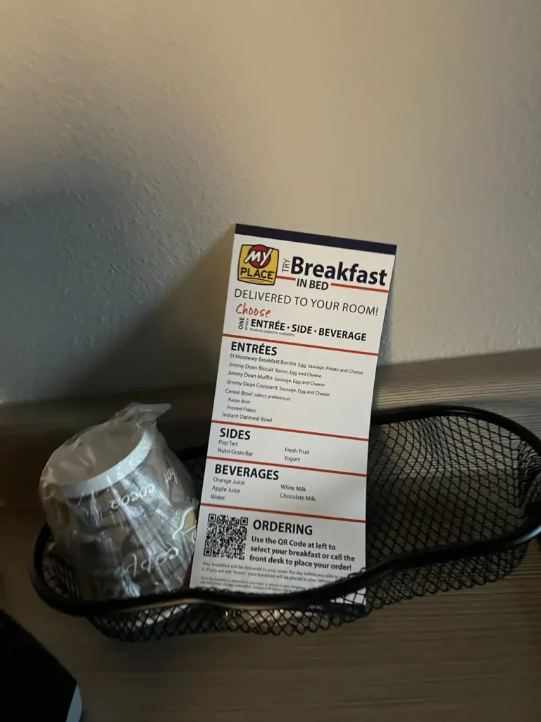
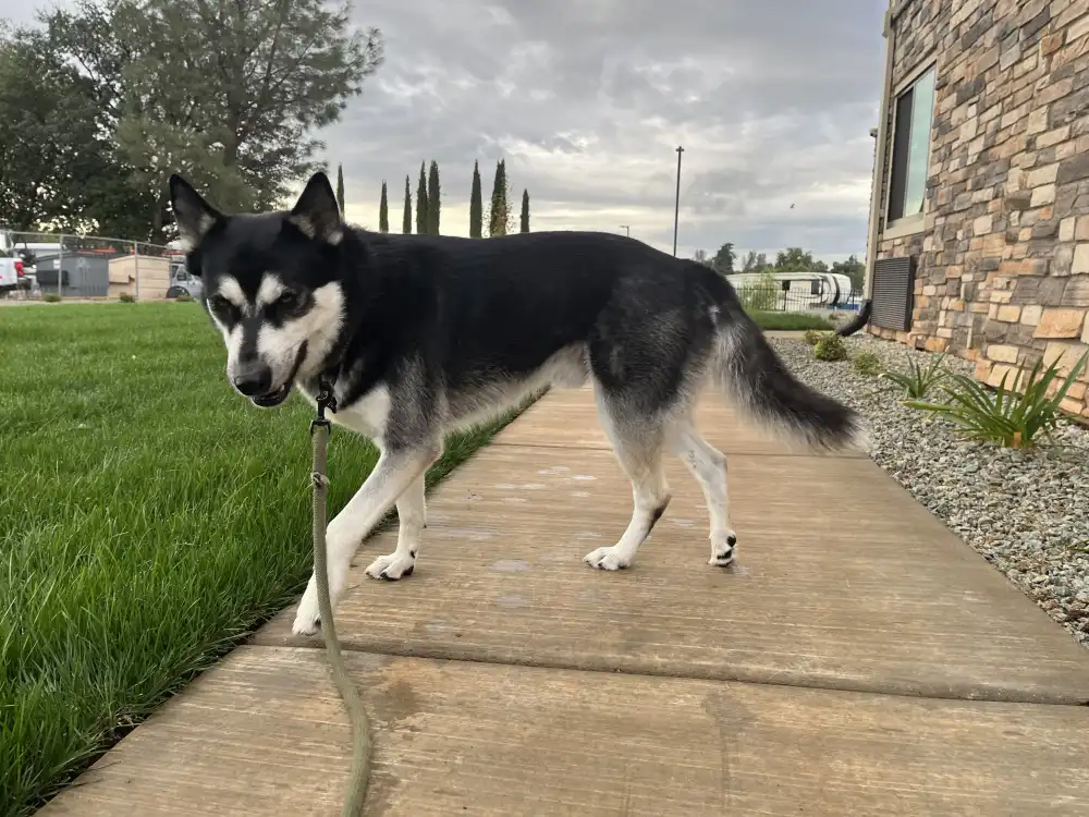
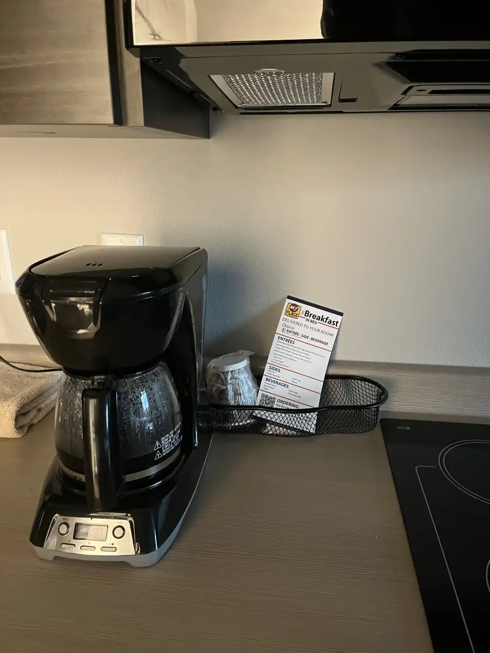
I stayed overnight in Redding, CA at My Place. I was denied a room next door at Best Western because I had Panda with me. Their excuse was that they gave out all their first floor rooms. I’m glad they turned me away. Across the street at My Place, I got an equally priced room, but the amenities and service far surpassed Best Western’s standards. I couldn’t have picked a better hotel to stop at. The room was quiet, spotless, and surprisingly home-like — the kind of place that makes a road trip feel like a pause rather than a stop. I think I was the first guest in that room. Everything was new. The full kitchen stood out immediately — it had a full-size refrigerator, two-burner stovetop, microwave, and even a garbage disposal built right into the sink. On the counter sat a coffee maker with fresh packets of grounds and a small bottle of dish soap beside the faucet. Everything was set up for travelers who stay more than a night, and it felt like they’d thought of every small detail.
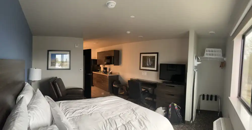
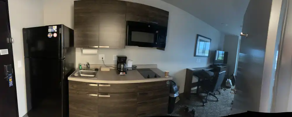

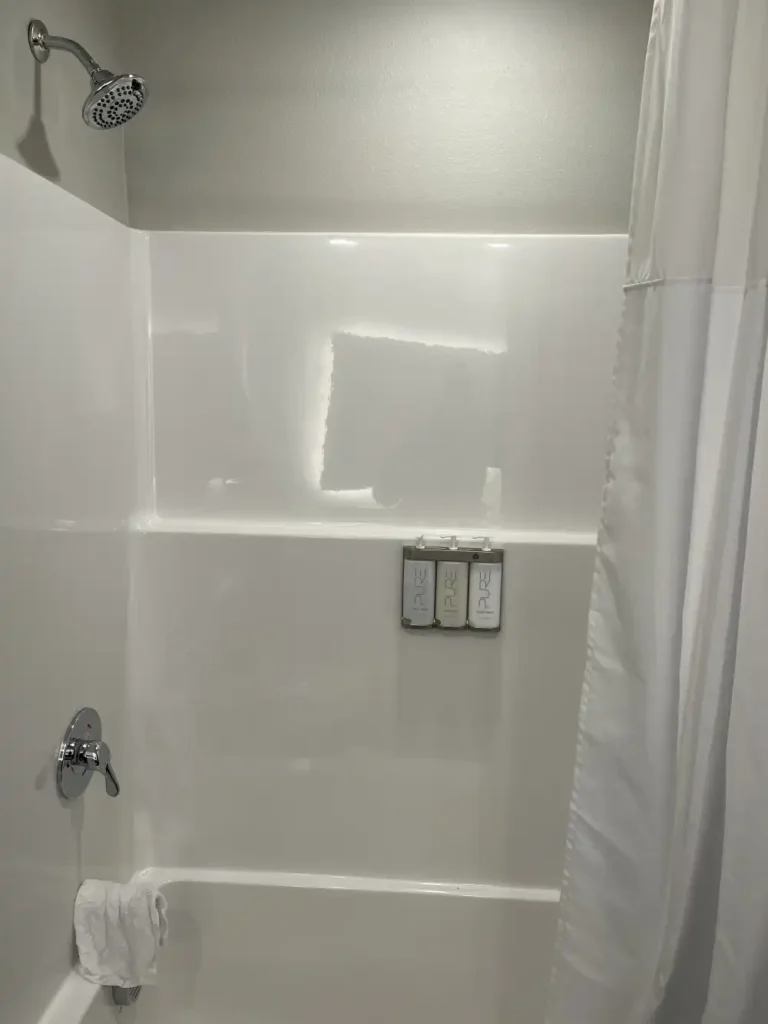
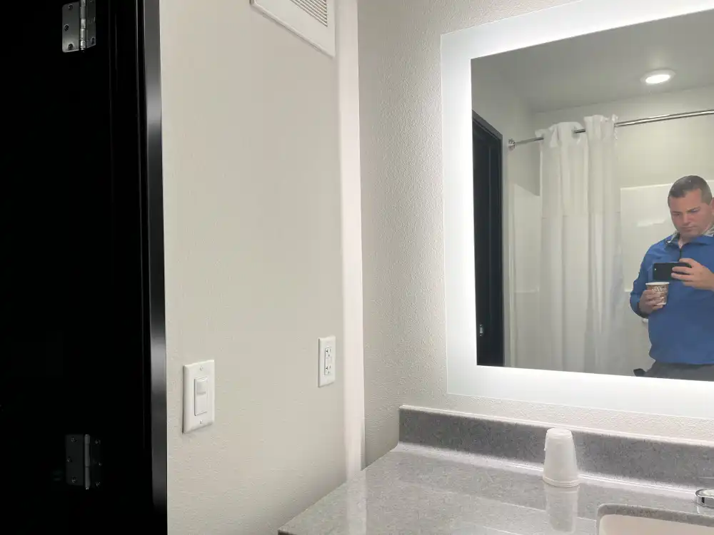


The bathroom was modern and bright, with clean towels stacked neatly on open shelves and a wide mirror with a soft light around the frame. They had liquid soap dispensers in the shower. The bedroom area was cozy, with a plush bed, reclining chair, and a work desk facing the television — a perfect setup for winding down after a long drive.
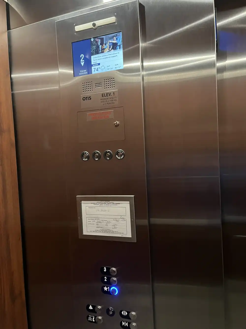
Even the elevator made an impression, featuring a screen that played morning news and weather updates as I headed downstairs with my bag. The staff were friendly and relaxed, asking about my travel plans and making sure I had everything I needed before checking out. It was easy to tell the hotel took pride in being pet friendly, and they treated my dog, Panda, like a valued guest rather than an exception.
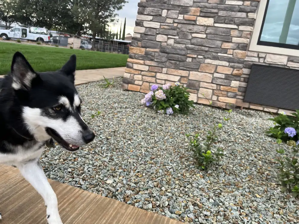
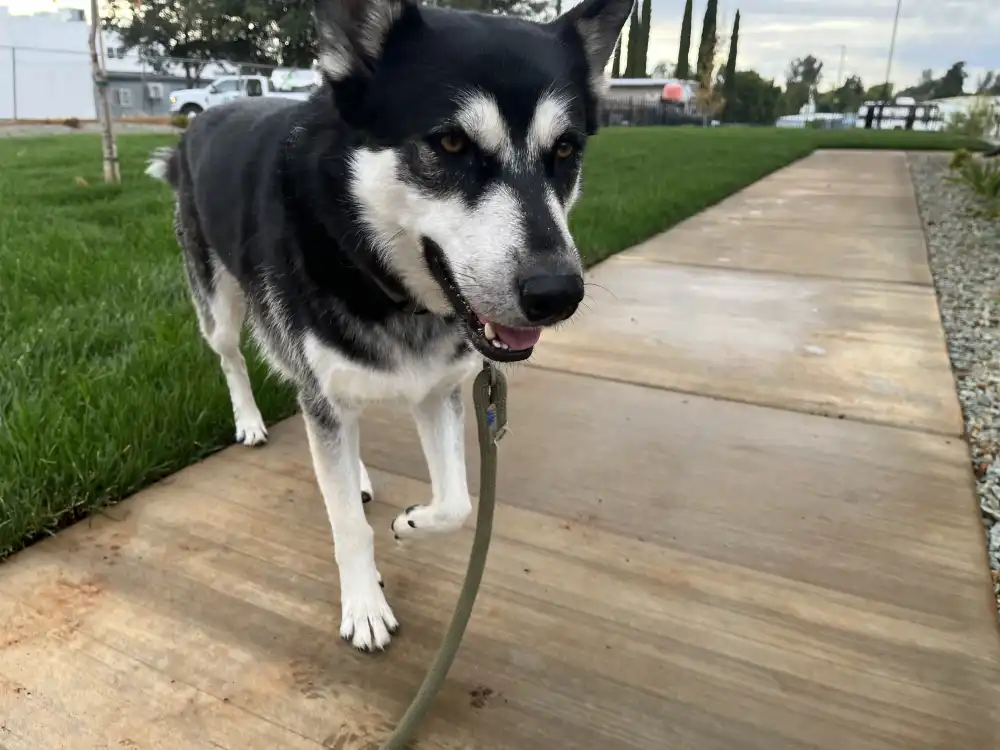
I left the room around 6am, feeling completely recharged for the drive North to Mount Shasta. With the car packed, coffee in hand, and Panda’s leash clipped on, I stepped outside into the cool morning air, letting Panda go on the side yard grass to do his morning business. The sky was partly cloudy, the light soft and calm — a perfect start for a hike. Leaving My Place Hotel behind–I’ll look out for those next time I need a place to stay, I felt rested and ready for the open road, with Mount Shasta waiting ahead on the horizon.
Redding North To Mount Shasta
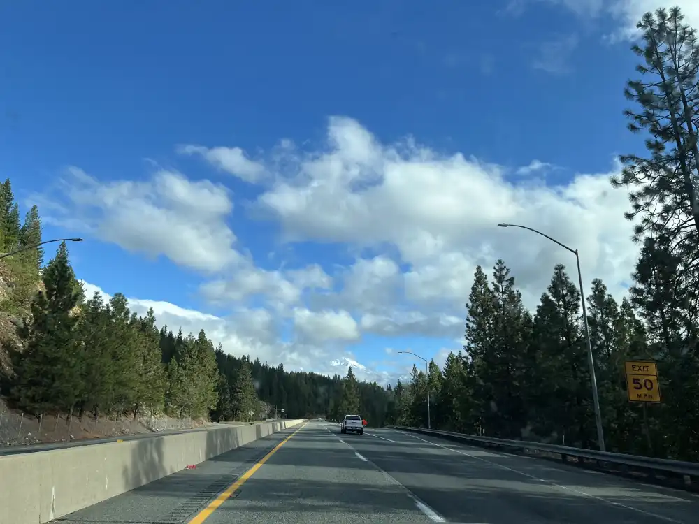
Leaving Redding in the early morning, the highway north gradually gave way to the rising forests and rugged slopes of Northern California. The road wound between stretches of pine, the sun breaking through clouds in wide golden patches that lit up the landscape ahead.
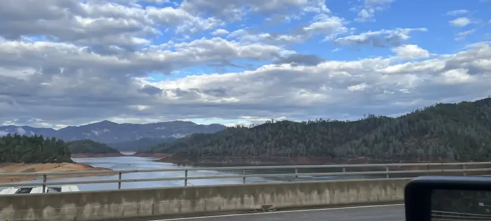
Crossing over Shasta Lake, the view opened wide — calm blue water stretching into the distance, ringed by forested hills. The reservoir’s shoreline was low this time of year, exposing red earth that contrasted with the silver reflections of clouds on the surface. From the bridge, the lake shimmered beneath a sky that alternated between bright and moody.
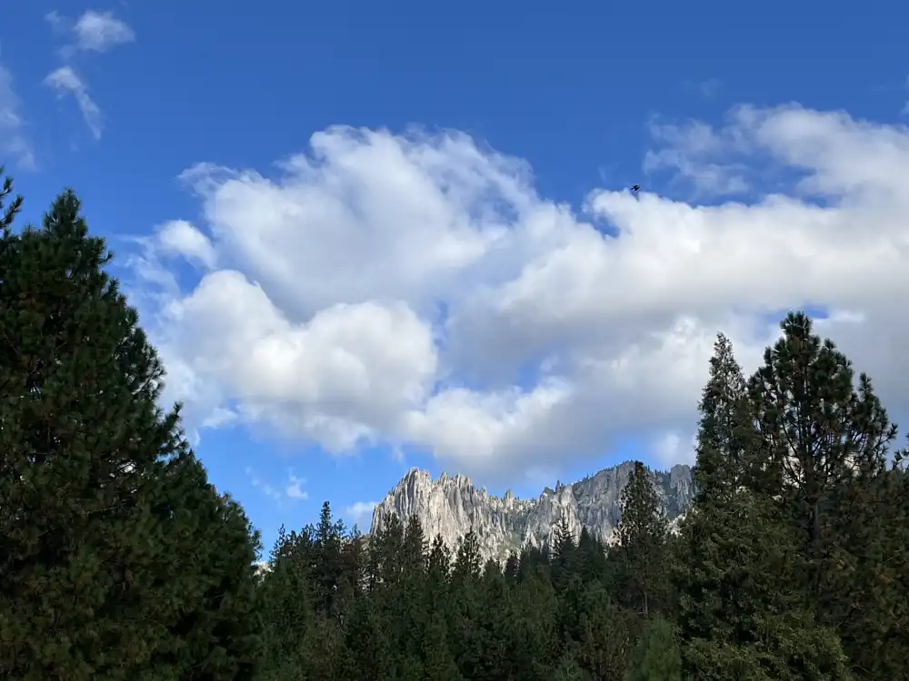
Continuing north on I-5, the drive passed through a series of rolling climbs and valleys, each turn revealing more of the Cascades. Clouds hung low around the peaks, and by the time I reached Dunsmuir, the air felt cooler and cleaner. A few miles farther, I stopped for coffee and gas at a Chevron by the entrance to Castle Crags State Park. I don’t recommend stoping at that Chevron. The employee was disgruntled and borderline offensive just for inquiring about a traffic question. While pumping gas, the jagged granite spires of Castle Crags State Park appeared above the treetops — sharp, dramatic, and unmistakably distinct from the rest of the range. I’ll have to plan a future trip just for this special place.
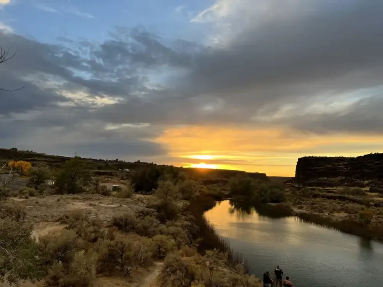
Back on the road, the highway opened into a long, steady approach, yet still with twists and curves I made my way towards Mount Shasta, barely visible far ahead. The snow-covered summit seemed to float above the horizon, still partially wrapped in clouds but unmistakably immense. I didn’t realize then, but due to clouds, that would be my only view of the summit.
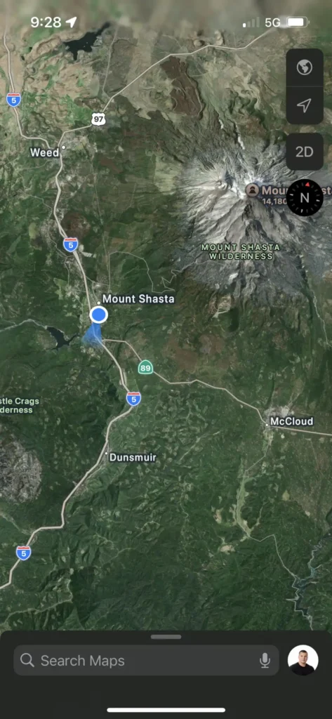
From Redding to Mount Shasta, the drive felt like a gradual ascent not only in altitude but in atmosphere — each mile trading the warmth and bustle of the valley for the quiet, crisp air of the high mountains. I stopped in the city of Mount Shasta to get coffee. Theory Coffee, on the main road, Mount Shasta Blvd. It was memorable because I waited in a 15 minute line to buy an $8 cups of coffee. Cups as in Plural. I had to buy two small coffees, because they did not sell large cups. Then the coffee leaked because the lids improperly fit that type of cup. The previous coffee shop I stopped at first, only took cash, no cards. Since I left the hotel, it was all uphill from there…
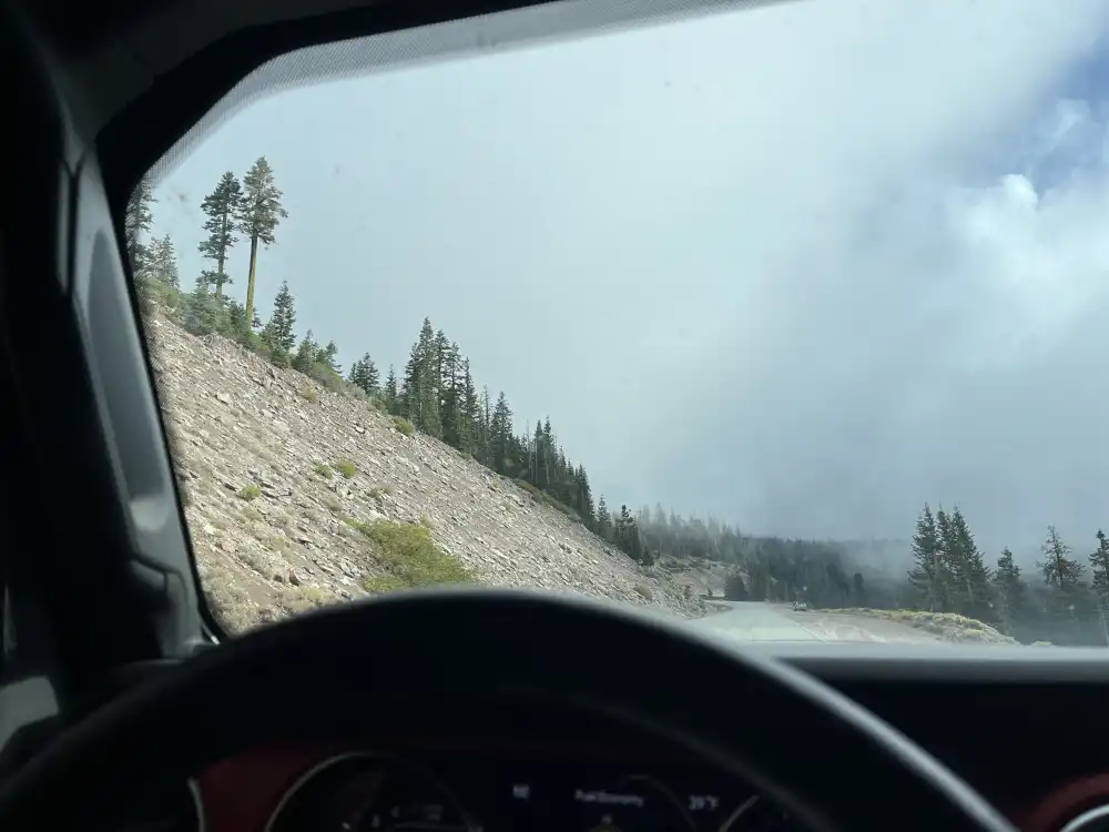
Leaving the societal problems of the morning down in Mount Shasta, I headed up the mountain on County Hwy A10 – Everitt Memorial Hwy. The whole 40 minute drive up, I kept thinking, I should take some better pictures. These images are all I have. The forest was amazing to drive through, with green mosses and mature trees, sections for camping, sections for hiking, sections for only the forest. Panther Meadows was a nice open area cleared from the surrounding forest drive. I would have made more a trip out this, but I was heading up to Portland by nightfall and only had a few hours to explore this International vacation destination.
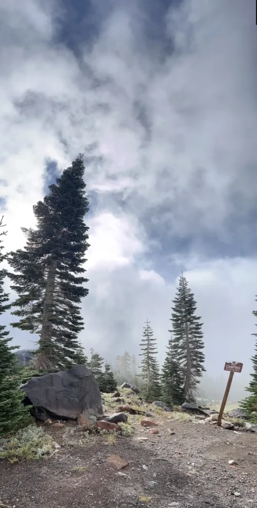
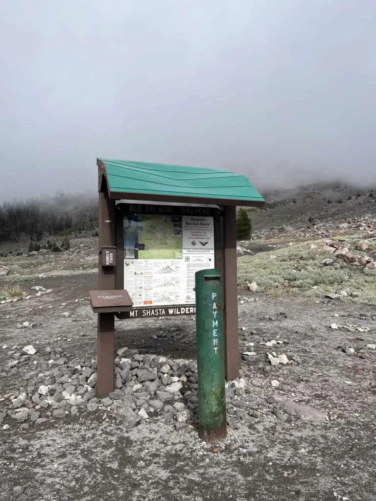

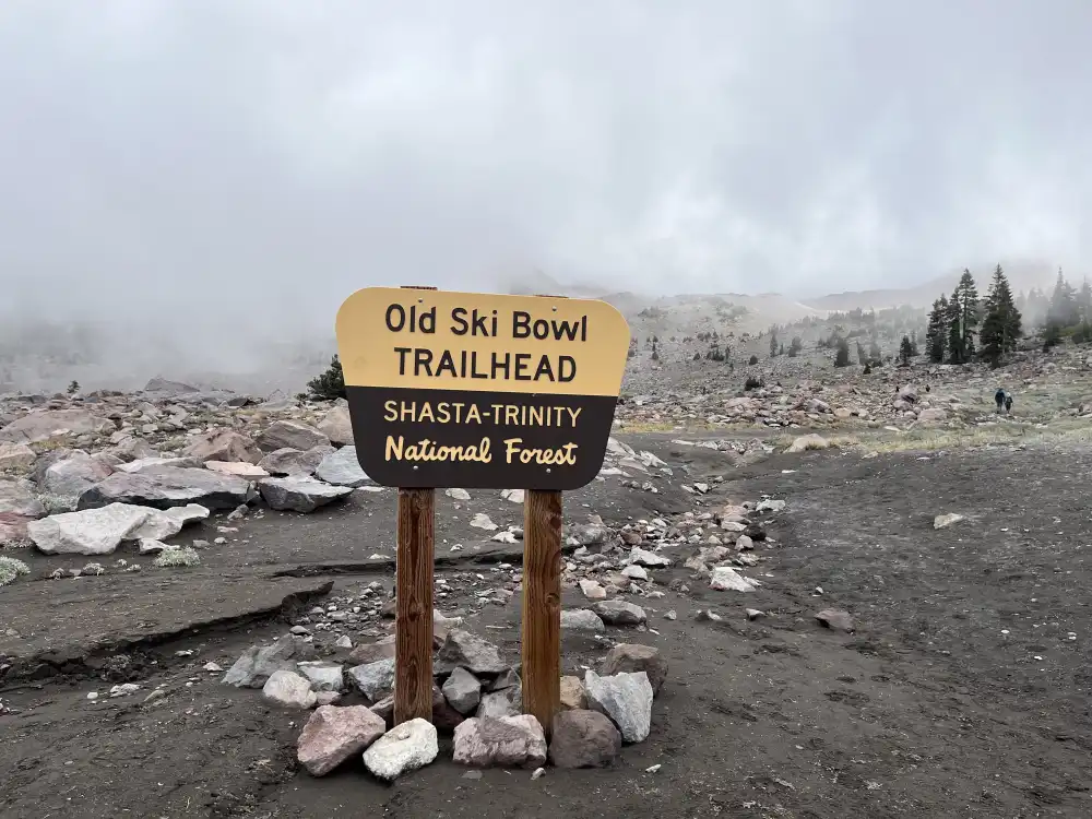
Old Ski Bowl Trailhead
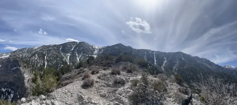
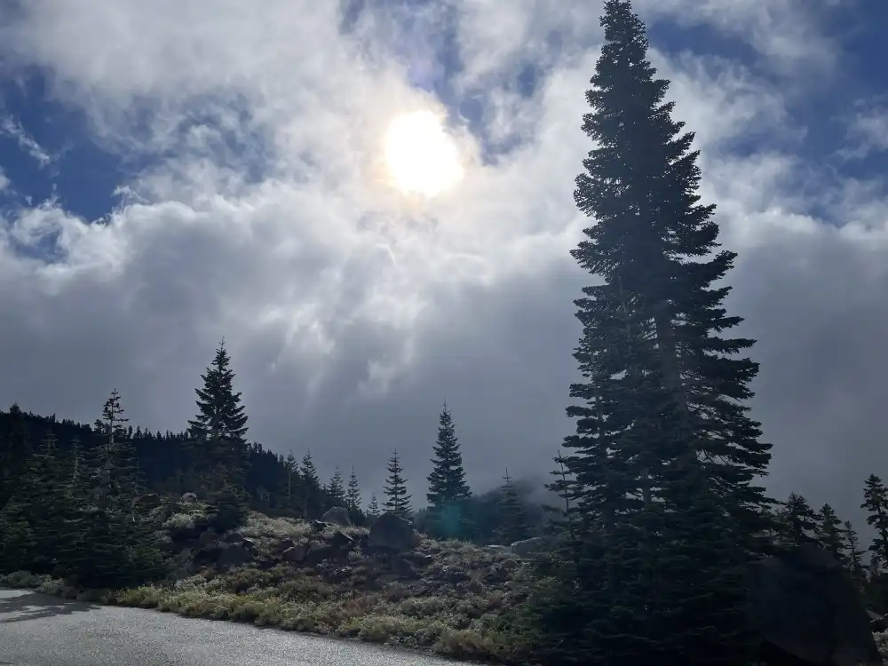
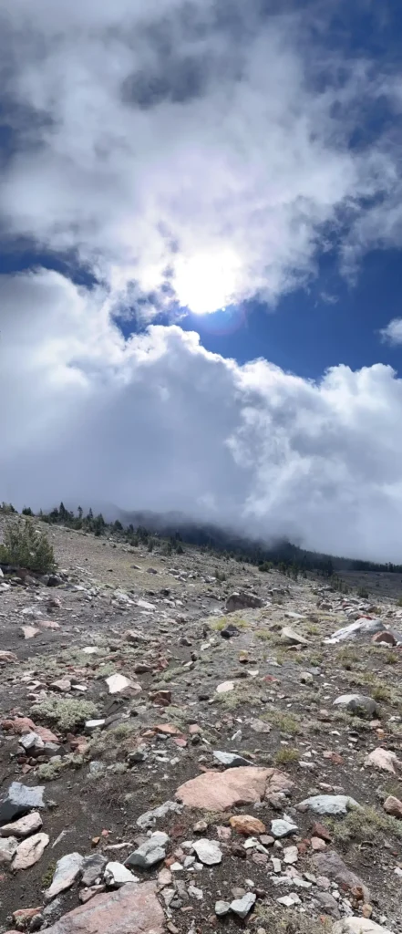
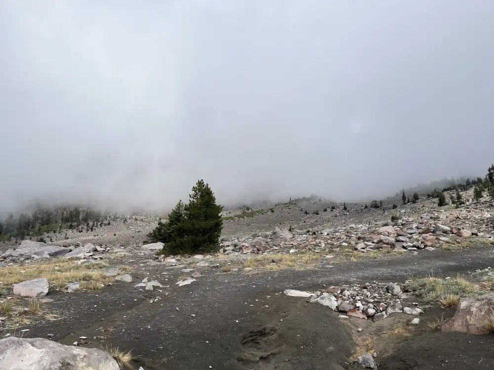
Old Ski Bowl feels otherworldly — quiet, vast, and windswept. It’s not just a hike; it’s an immersion into Mount Shasta’s raw upper environment. If you arrive early in the morning, the light over the summit glows pink and gold, and you can often spot climbers making their way high above. For a less demanding visit, even walking a few hundred yards from the parking area gives you extraordinary views across Northern California’s volcanic landscape.
It’s one of those rare trailheads where the drive itself is as memorable as the destination — ending with a 360-degree view that captures the full scale and spirit of Mount Shasta.
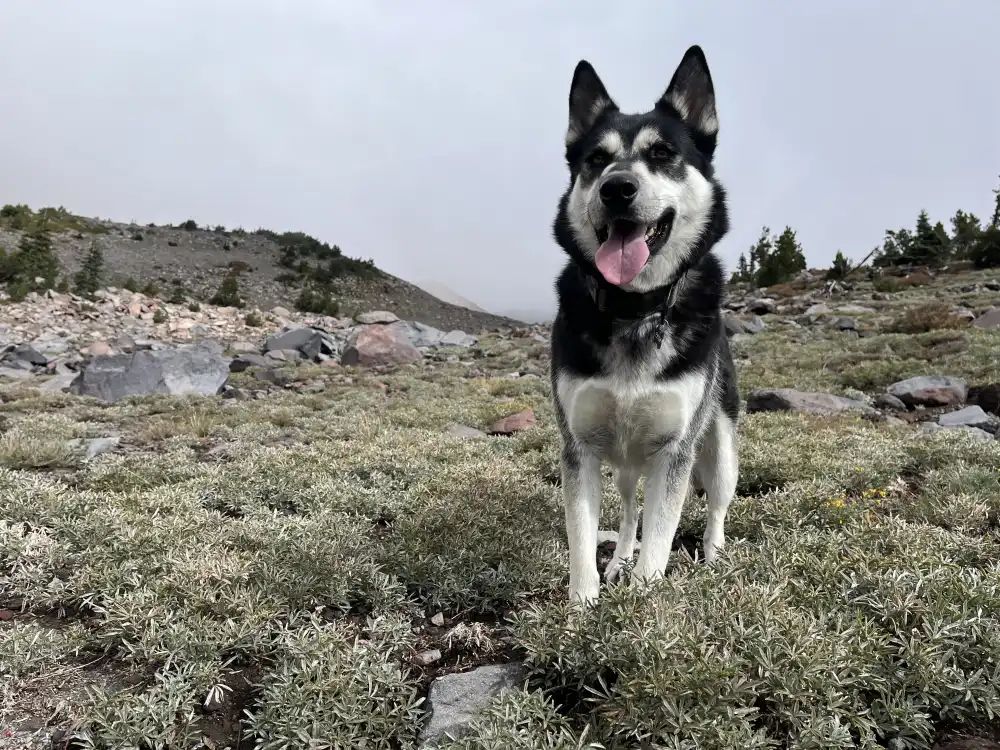
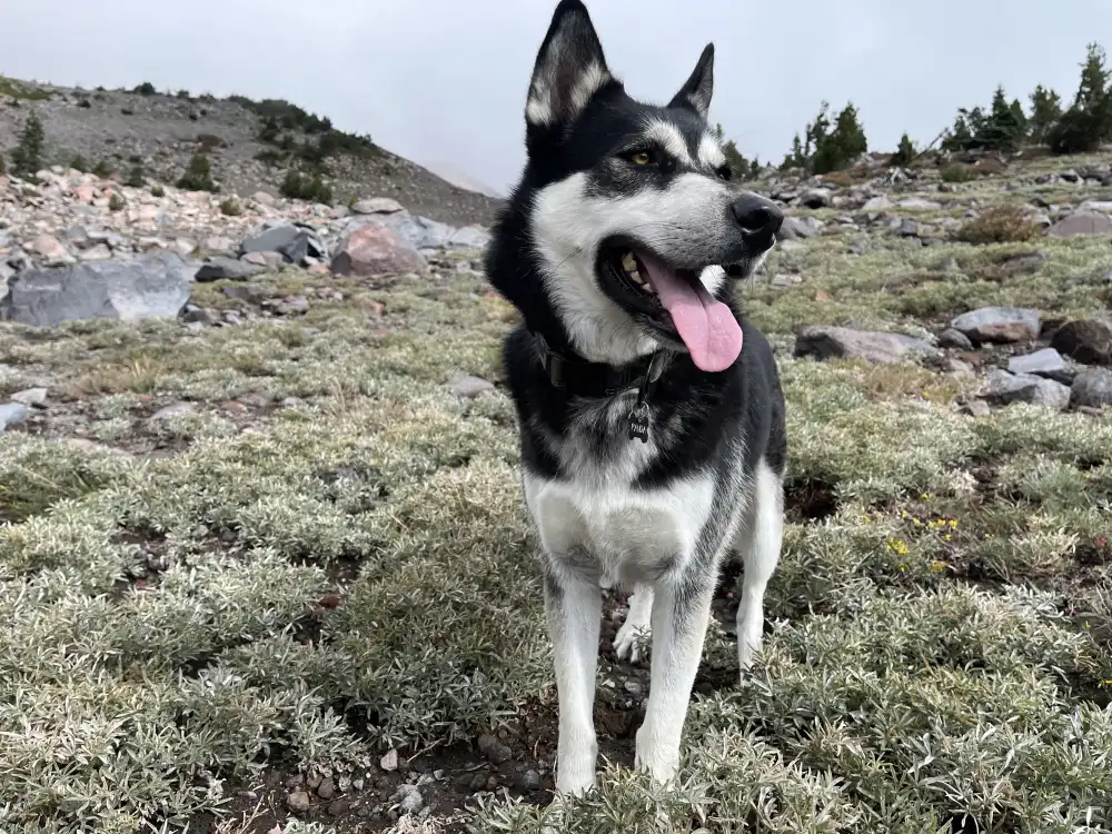
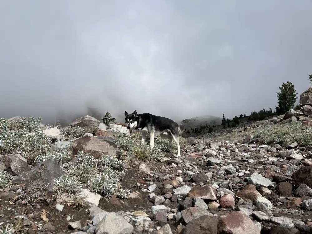
The hike up from the Old Ski Bowl Trailhead quickly reminded me how unforgiving altitude can be. Having started the day at nearly sea level, the jump to over 10,000 feet in less than twenty-four hours hit hard. Every step felt heavier, and the air grew noticeably thinner as I climbed — breathing turned shallow, and my heart rate stayed high even at a slow pace.
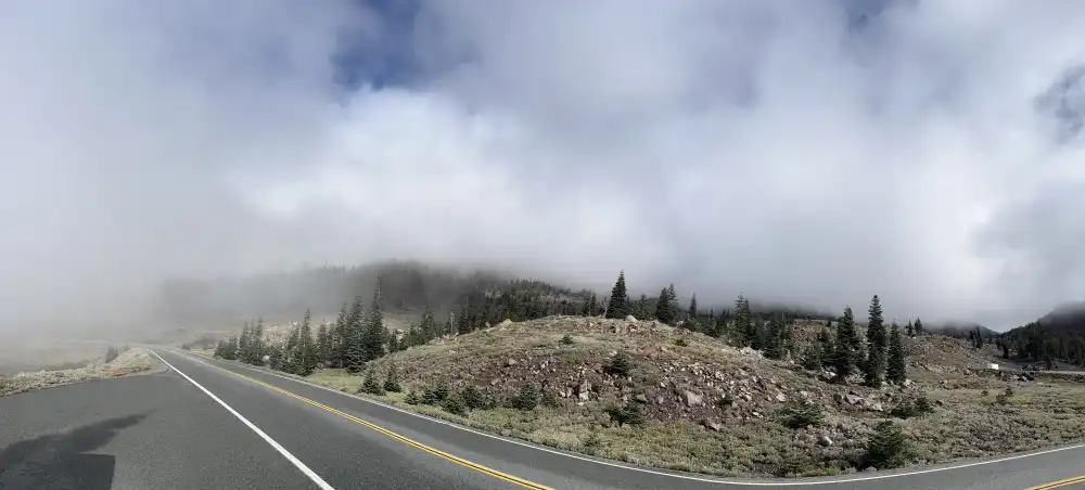
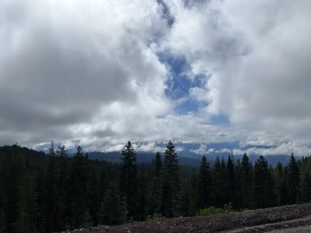
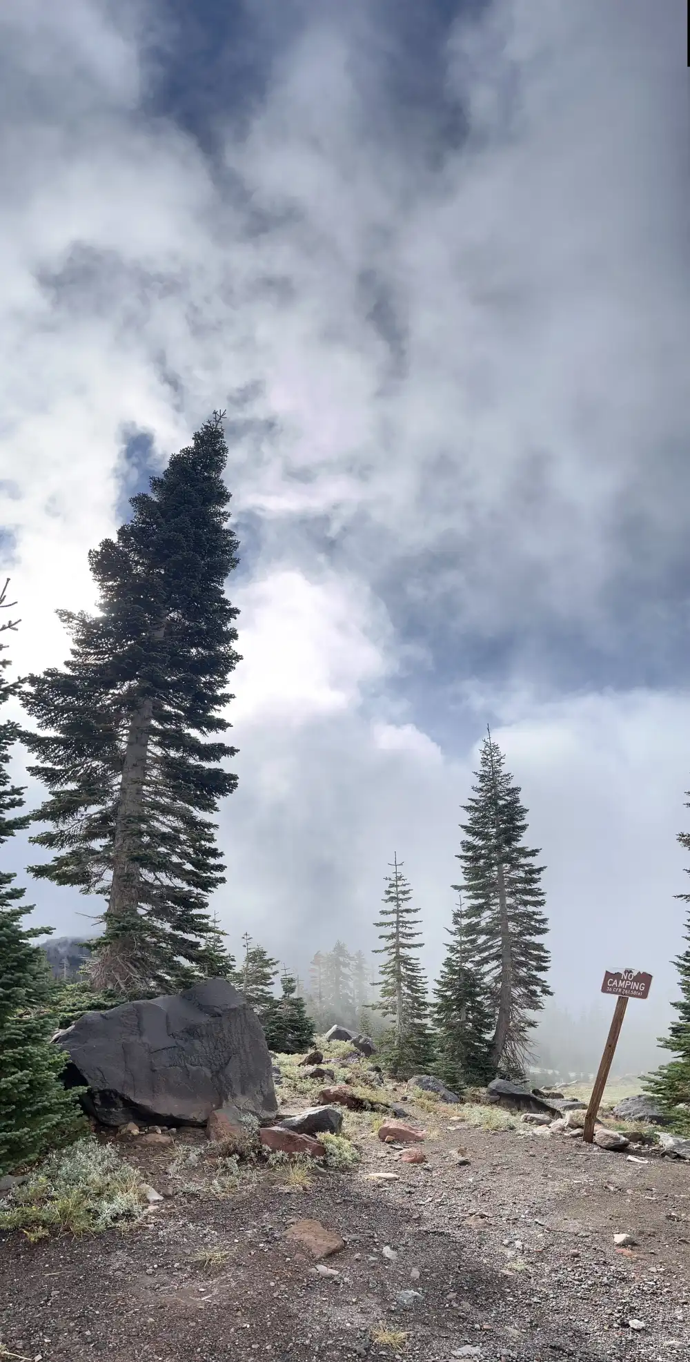
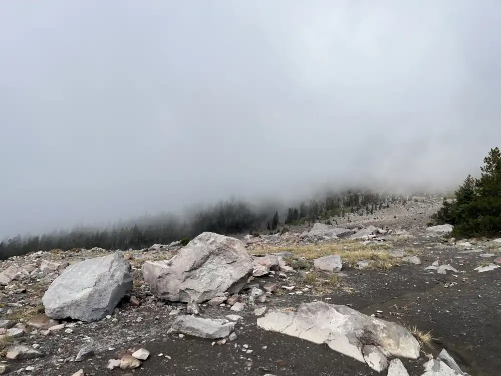
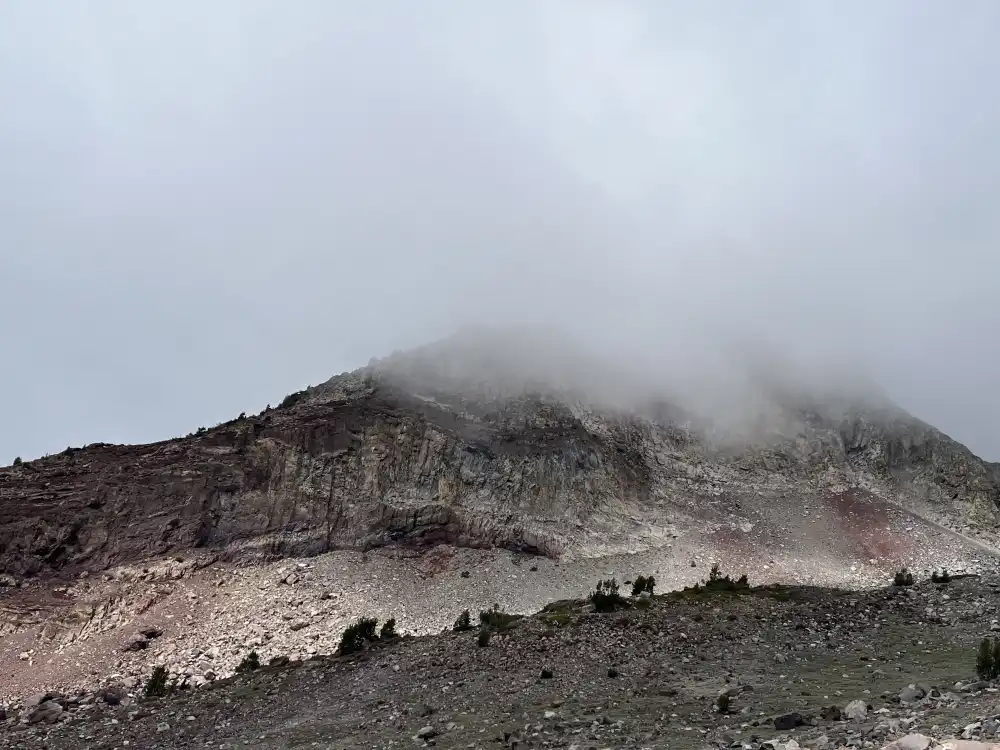
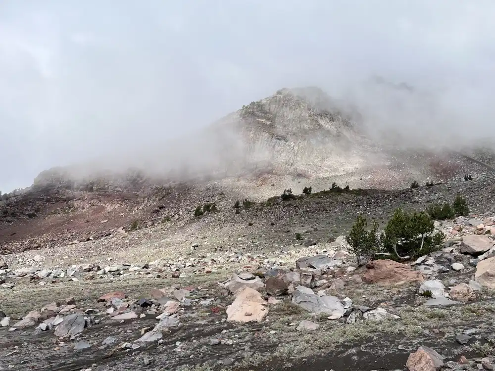
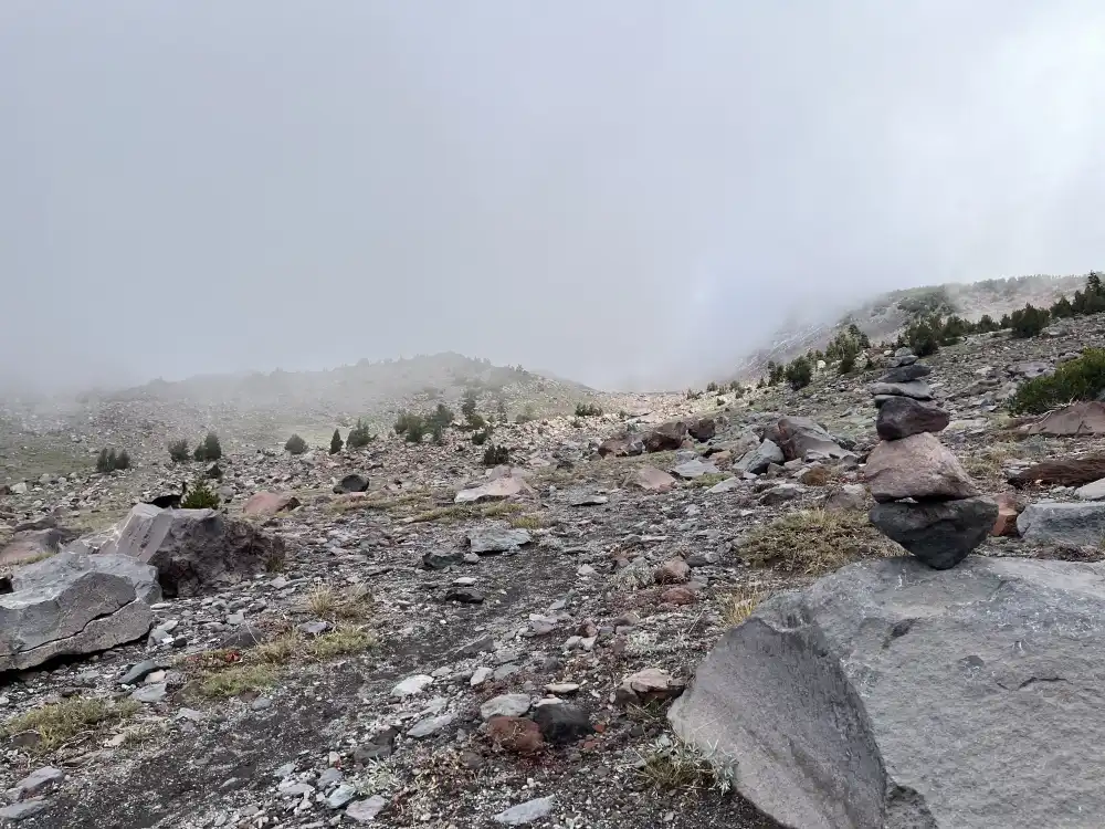
Without proper gear or enough water, it became clear this wasn’t a trail to underestimate. The terrain was rough — loose volcanic rock that shifted underfoot, and a steady incline that offered little relief. The higher I went, the colder the wind became, carrying small bits of grit across the slope. Clouds began to roll in fast, wrapping the ridgeline in mist until visibility dropped to almost nothing.
Just above where the snowline began, I stopped. The mountain disappeared into the fog, and the path ahead faded into gray. With no clear view and no equipment for the conditions, I decided to turn back. The descent was slow but steady, the kind that makes you appreciate the mountain’s scale and power with every step down.
By the time I reached the trailhead again, the clouds had thickened completely, hiding the summit entirely — a quiet reminder that Mount Shasta decides when to let you climb, not the other way around.
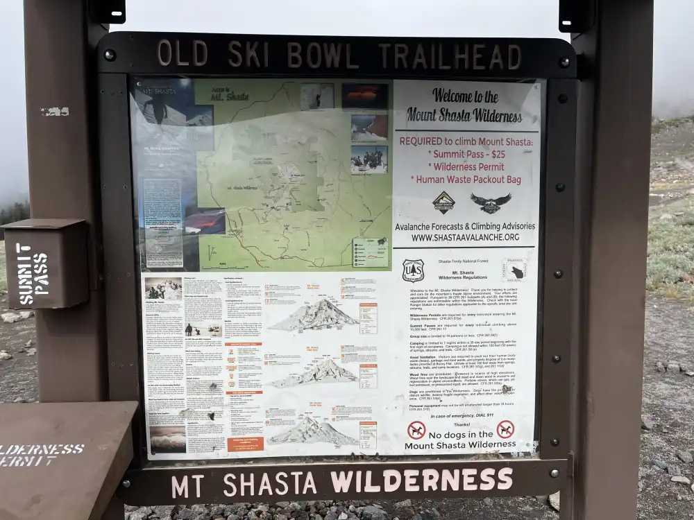
Standing back at the trailhead, I felt both humbled and content, healed and reborn. I hadn’t reached the summit, not even close–you have to pay for that by the way–but the experience itself was enough. The thin air, the shifting clouds, the raw silence of the mountain all left a lasting impression. Sometimes turning back isn’t failure; it’s respect. Mount Shasta revealed just enough of herself that day to remind me of her strength and unpredictability, and that even a short hike on her slopes can feel like stepping into another world.
Mount Shasta – California’s Majestic Volcanic Peak
Mount Shasta rises prominently from Northern California’s landscape as one of the tallest volcanic peaks in the Cascade Range. With its snow-capped summit and surrounding wilderness, it attracts hikers, climbers, and travelers seeking both adventure and serenity. The mountain’s presence dominates the region, offering panoramic views, alpine meadows, and a sense of calm found only in remote high-altitude places.
Coordinates
41°21’52.4″ N, 122°12’05.0″ W
Quick Facts
- Location: Siskiyou County, Northern California
- Elevation: 14,179 feet (4,322 meters)
- Mountain Type: Dormant stratovolcano
- Best Season to Visit: June–September for hiking; November–April for snow activities
- Trailhead Access: Bunny Flat Trailhead
- Permit Requirement: Summit climbs require a wilderness permit and summit pass
- Difficulty: Moderate to very strenuous depending on route
- Lat/Lng: 41.364544, -122.201336
What to Bring
- Layered clothing for changing alpine weather
- Mountaineering or sturdy hiking boots
- Water, snacks, and high-energy food
- Ice axe and crampons for late-spring climbs
- Trekking poles for steep terrain
- Sunglasses, hat, and sunscreen
- Map, compass, or GPS device
For First-Time Visitors
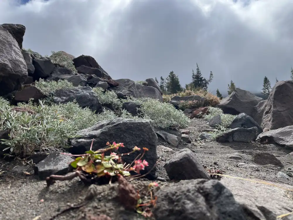
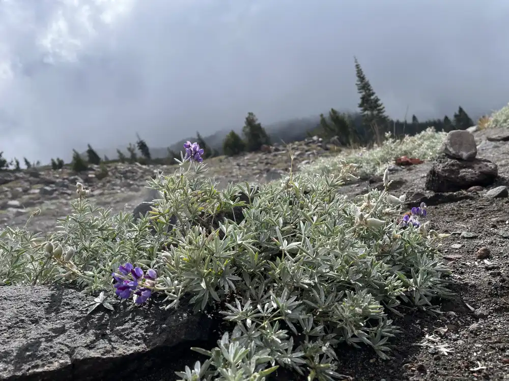
Start your Mount Shasta experience at Bunny Flat, the main access point to the mountain. From there, the Horse Camp Trail offers a scenic and manageable introduction with rewarding views of the summit. The Panther Meadow area, often described as one of the most peaceful places on the mountain, is ideal for acclimating and short hikes.
If you’re visiting in summer, consider the Grey Butte Trail for panoramic views of the Shasta Valley and neighboring peaks. Winter visitors can enjoy backcountry skiing or snowshoeing in the lower slopes near the trailhead.
The nearby town of Mount Shasta City, located about 11 miles south, provides lodging, dining, and gear rentals. Always check local weather and U.S. Forest Service updates before heading out, as mountain conditions can change rapidly.
Local Insight
Mount Shasta holds cultural and spiritual significance to many local tribes and visitors. Treat the land respectfully, stay on marked trails, and pack out all waste, including your own. The mountain’s scale and silence leave a lasting impression, rewarding those who approach it with preparation and care.